(Originally published on November 9, 2013)
Possible milestone in Alcafozes 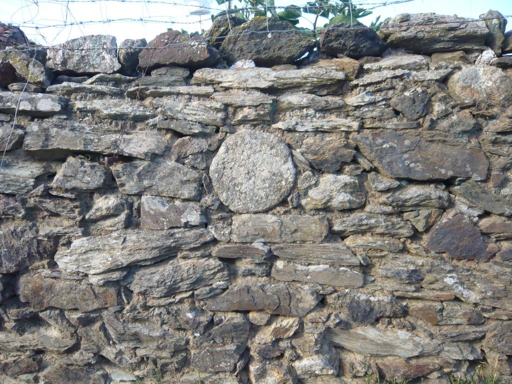
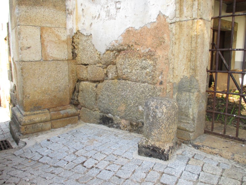
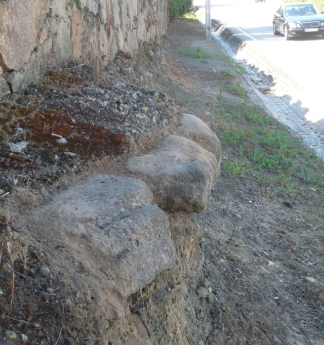
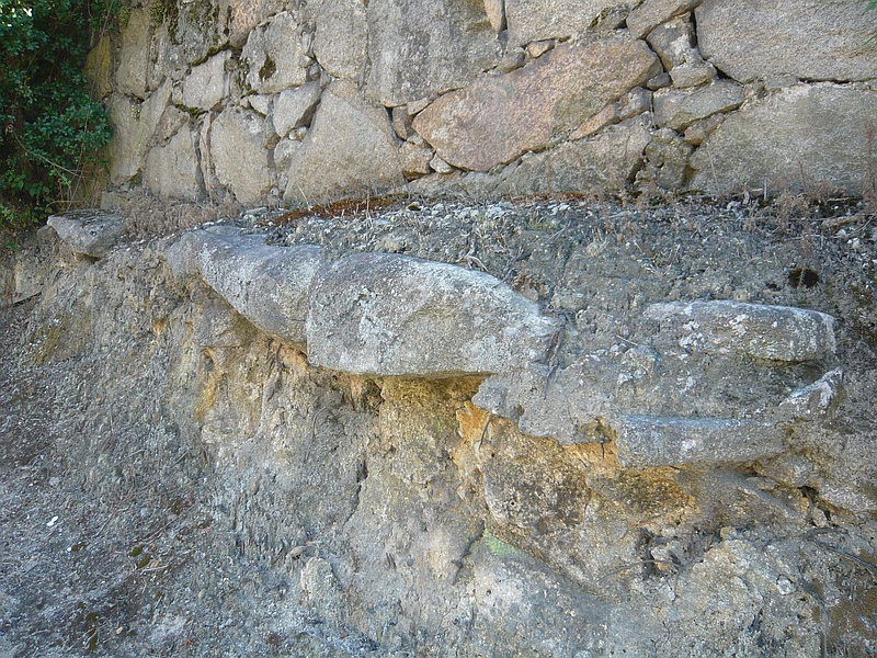
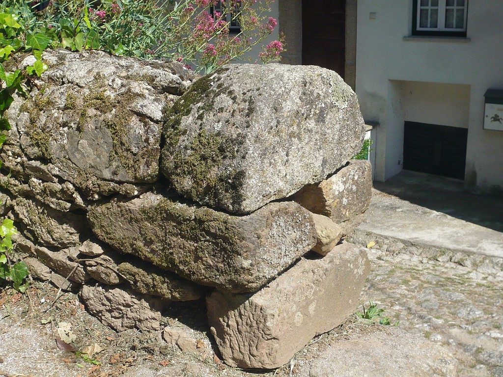
Close-up of the wall
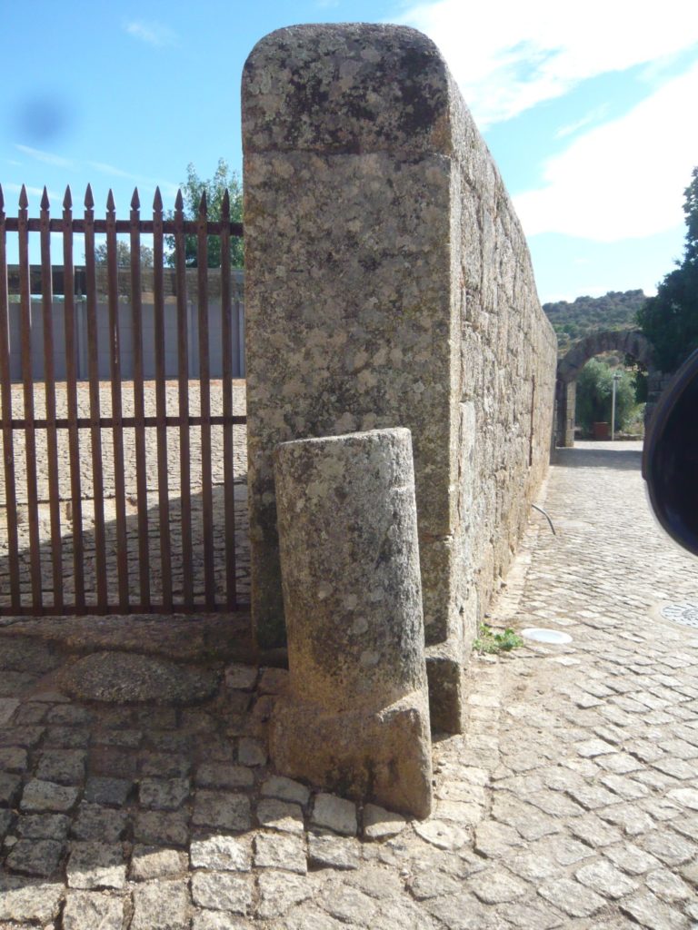
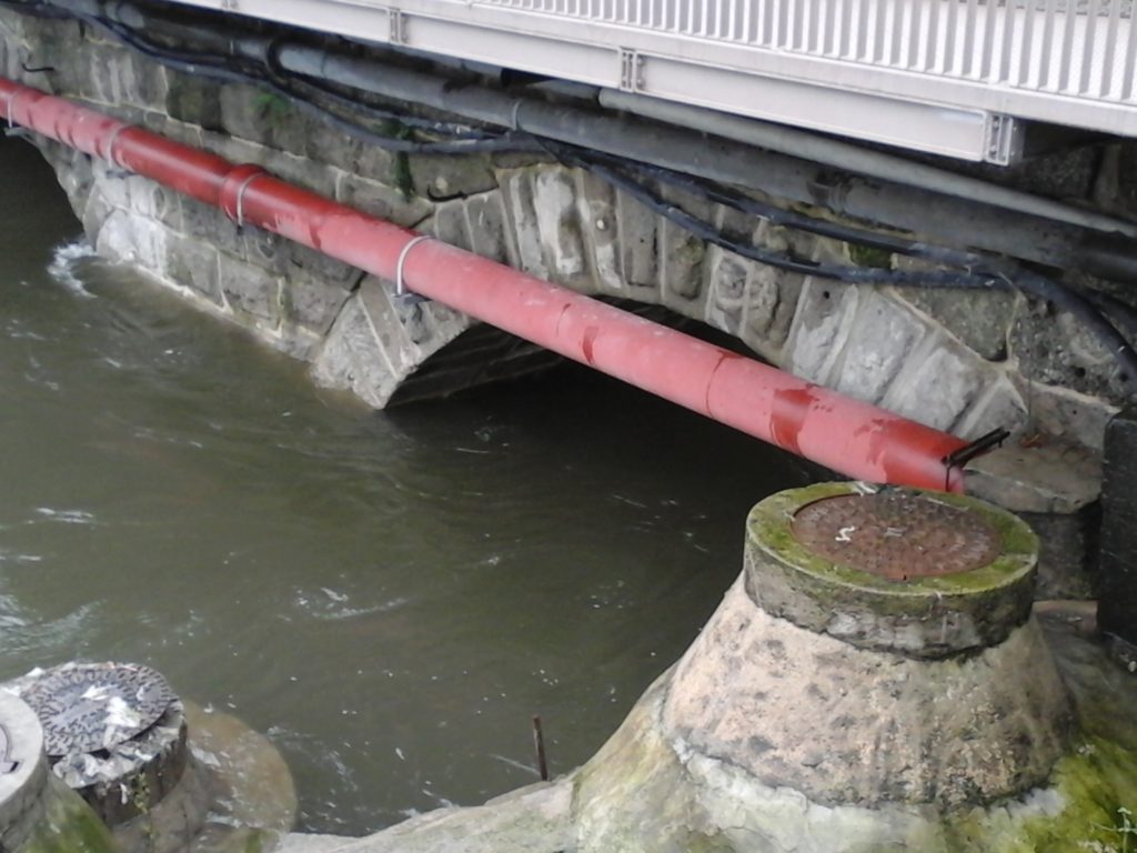
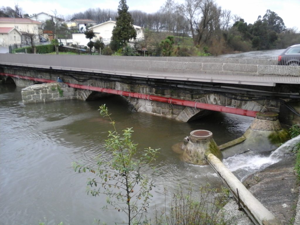
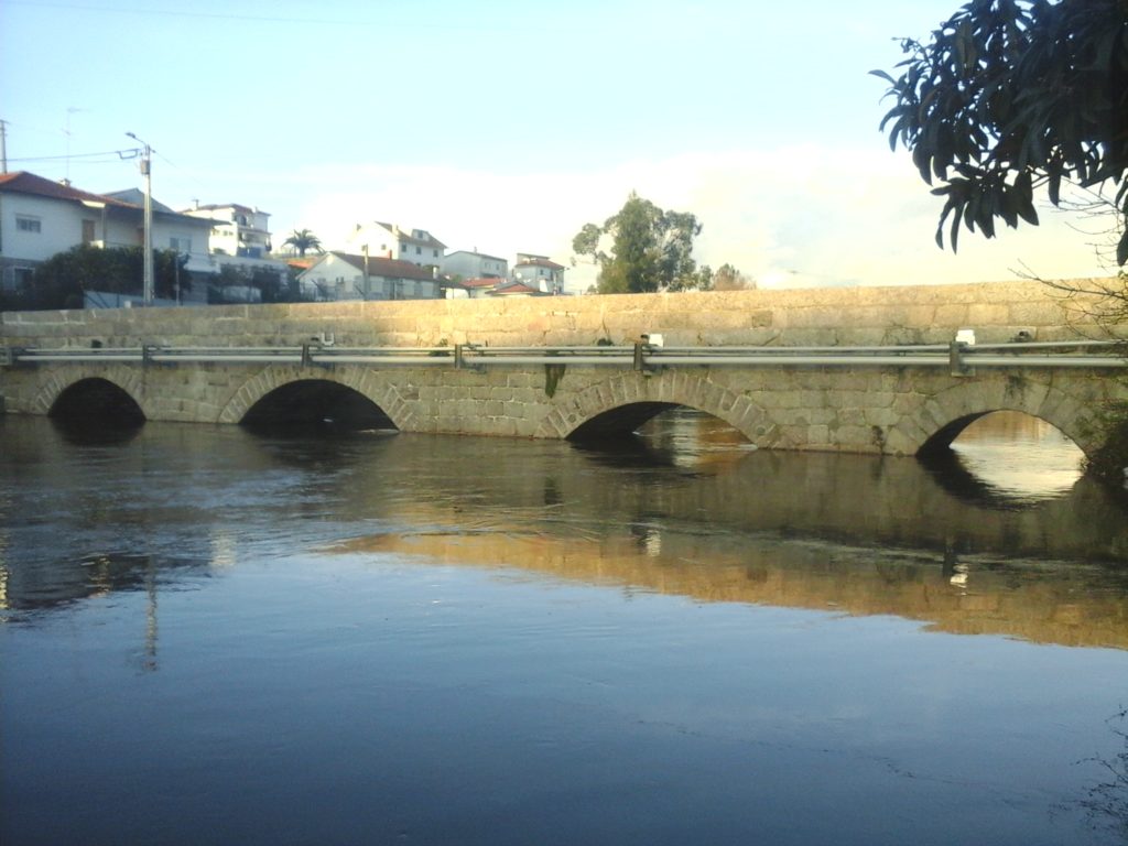
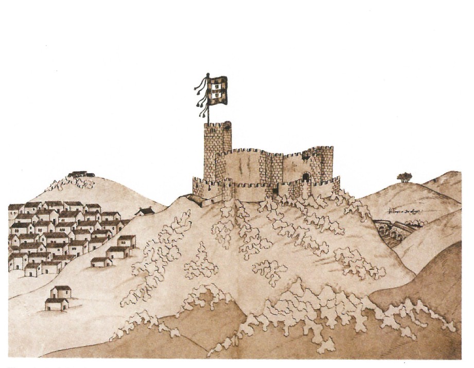
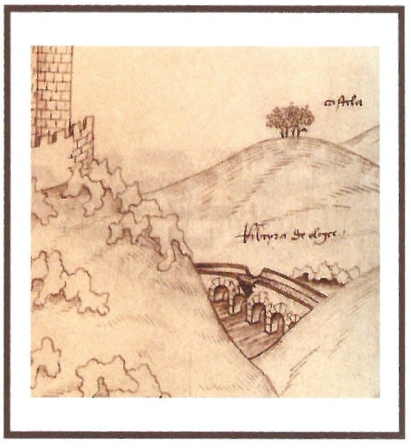
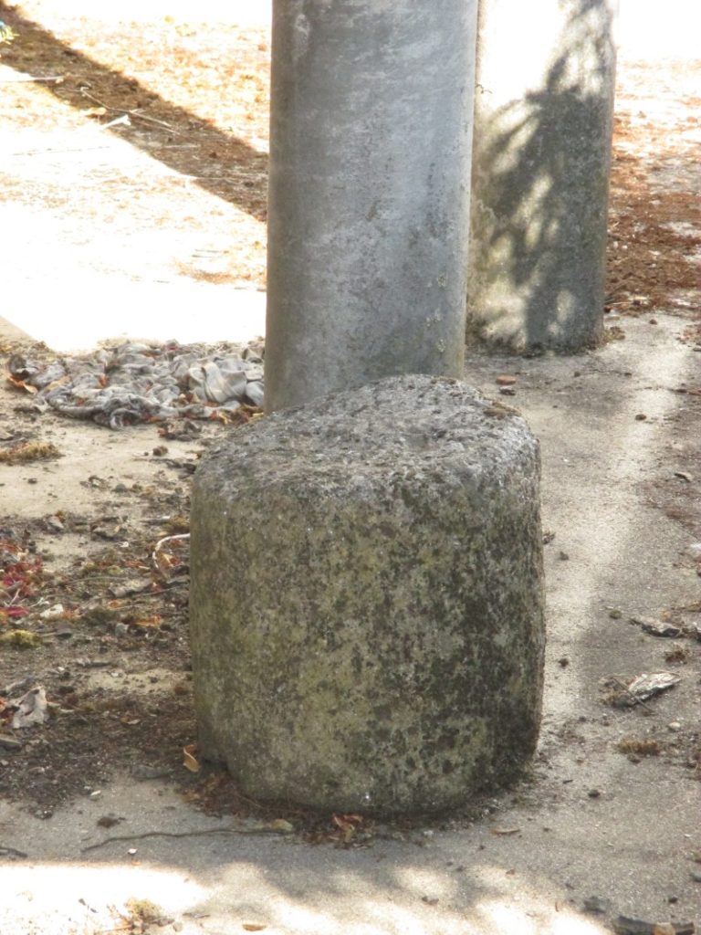
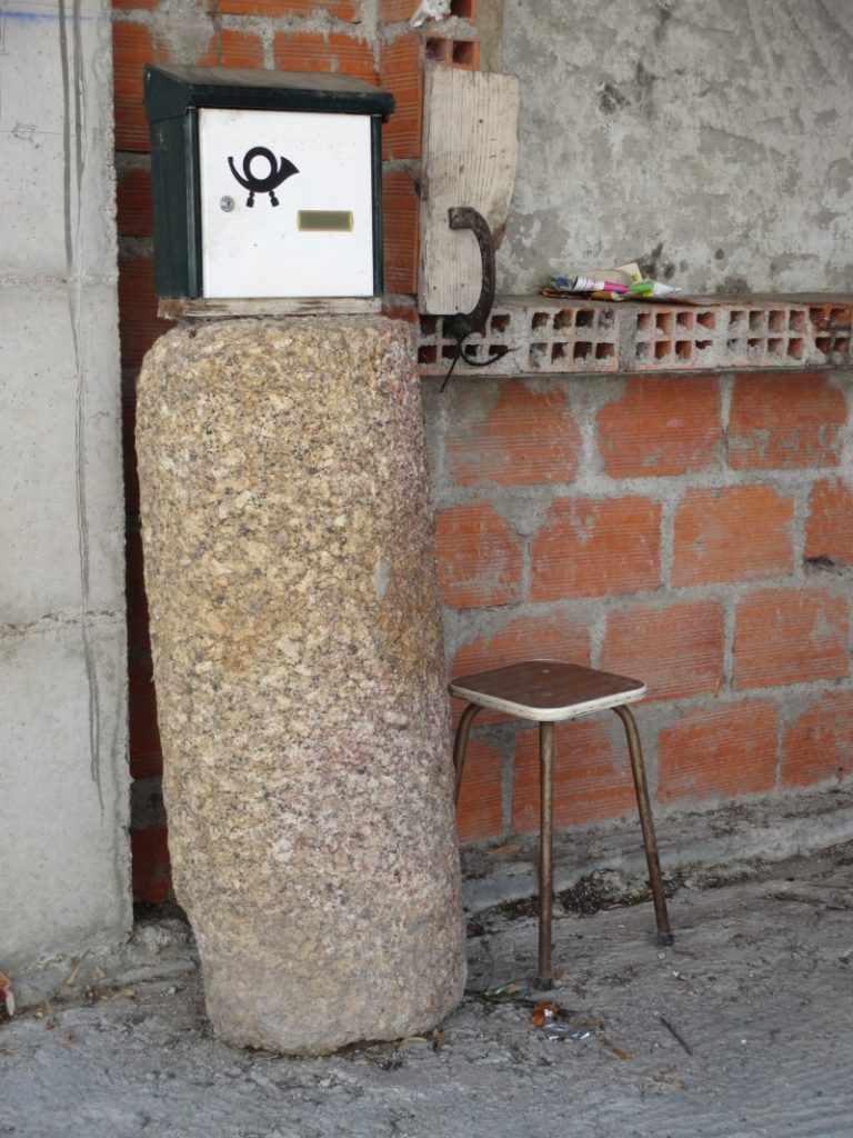
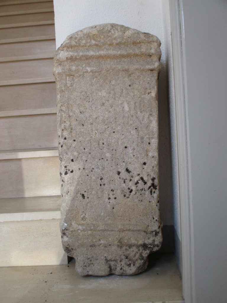
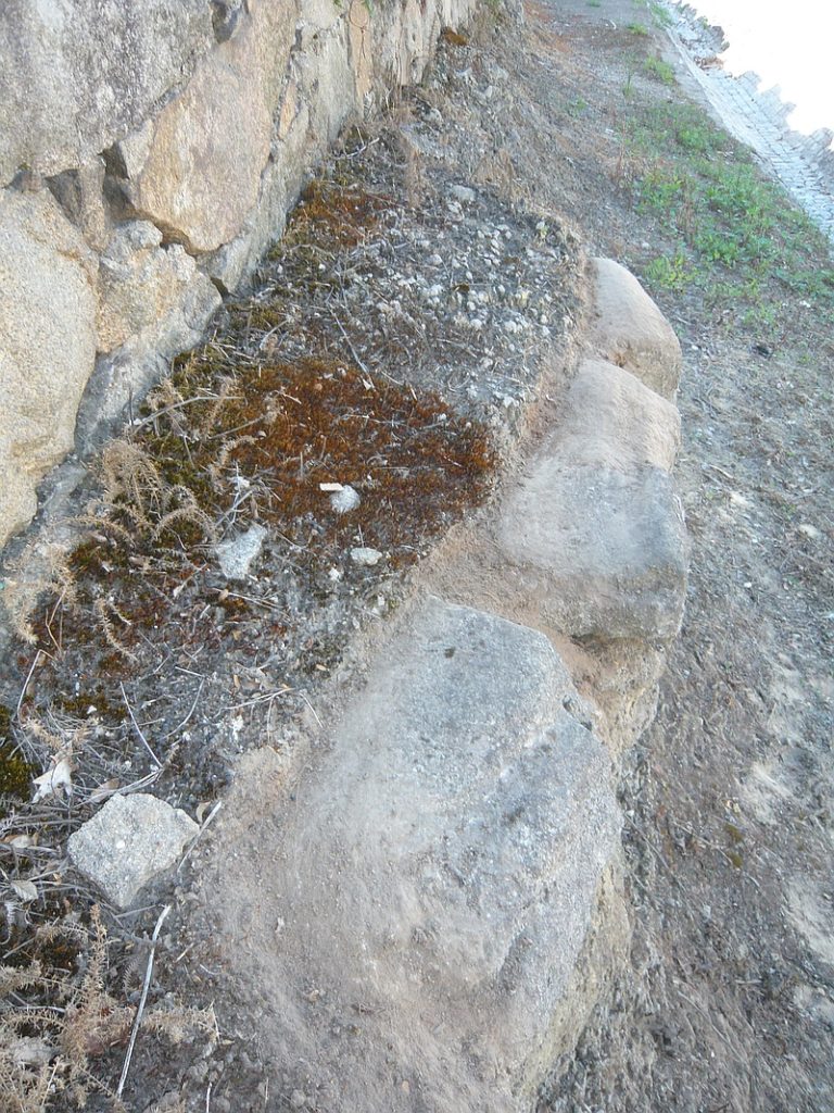
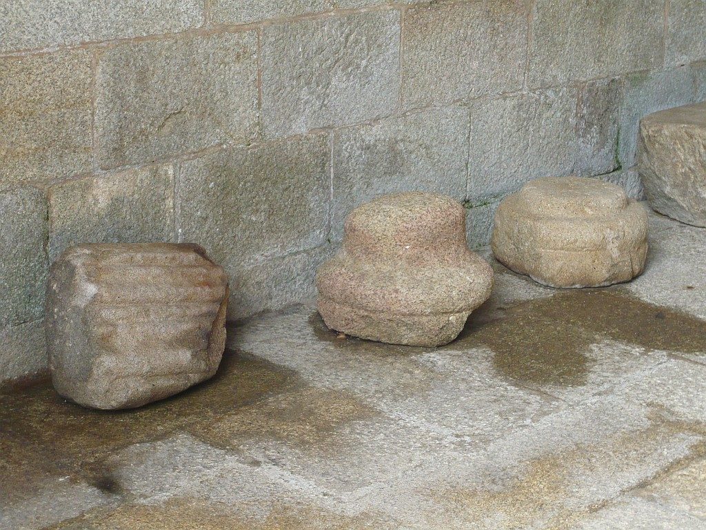
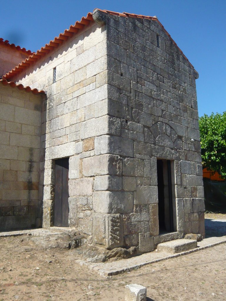
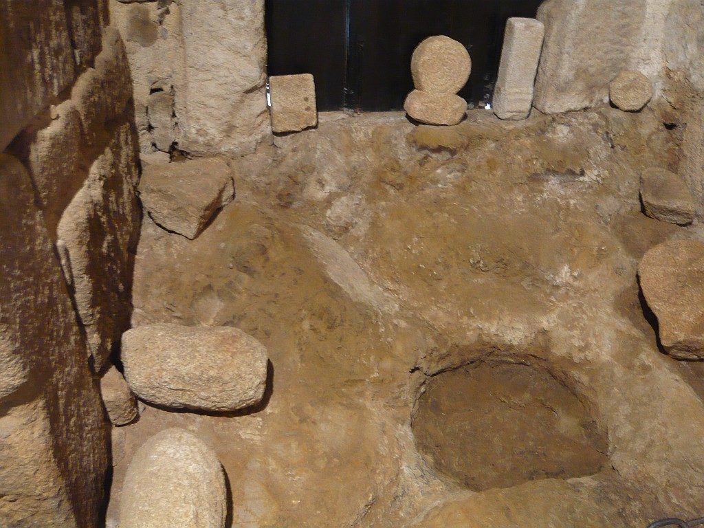
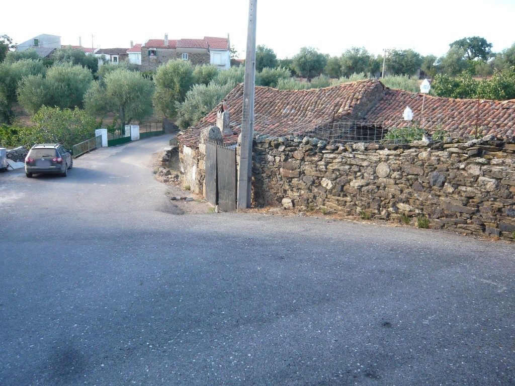
A milestone found in the village of Alcafozes (Idanha-a-Nova) (today at the «Epigraphical Museum» of Idanha-a-Velha) signals the Via Igaedis (Idanha-a-Velha) – Emerita (Mérida) that crossed the village in the direction of the Roman bridge of Segura. Besides this one, in the village there are two more cylinder-shaped stones that could be originally milestones. One was reused in a wall of the village with coordinates: 39.949778, -7.119426
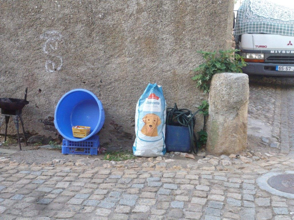
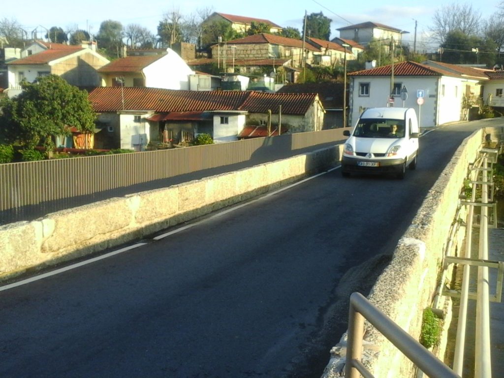
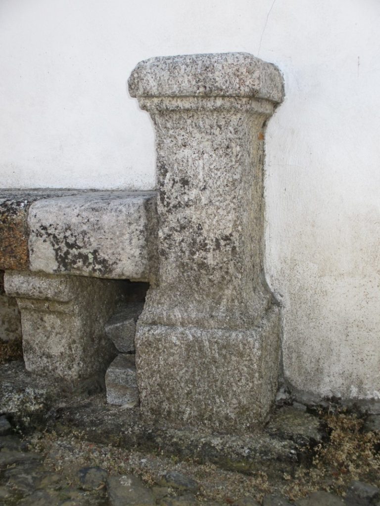
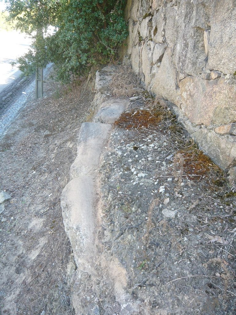
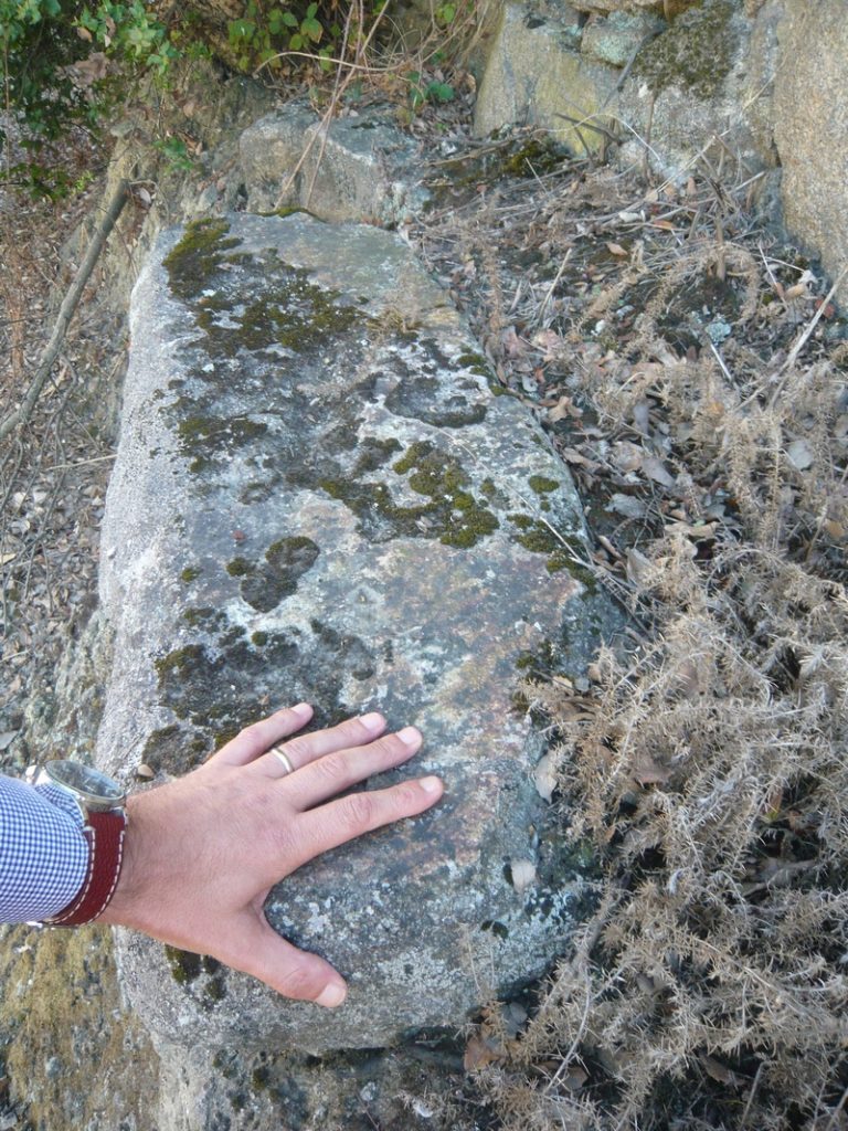
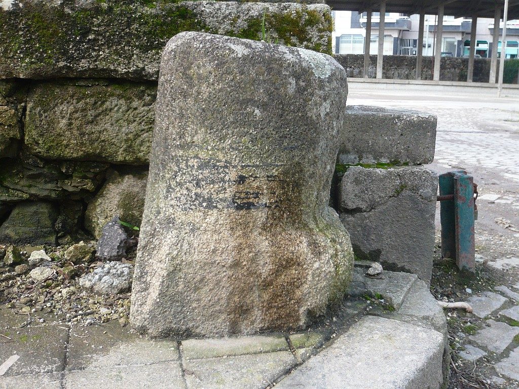
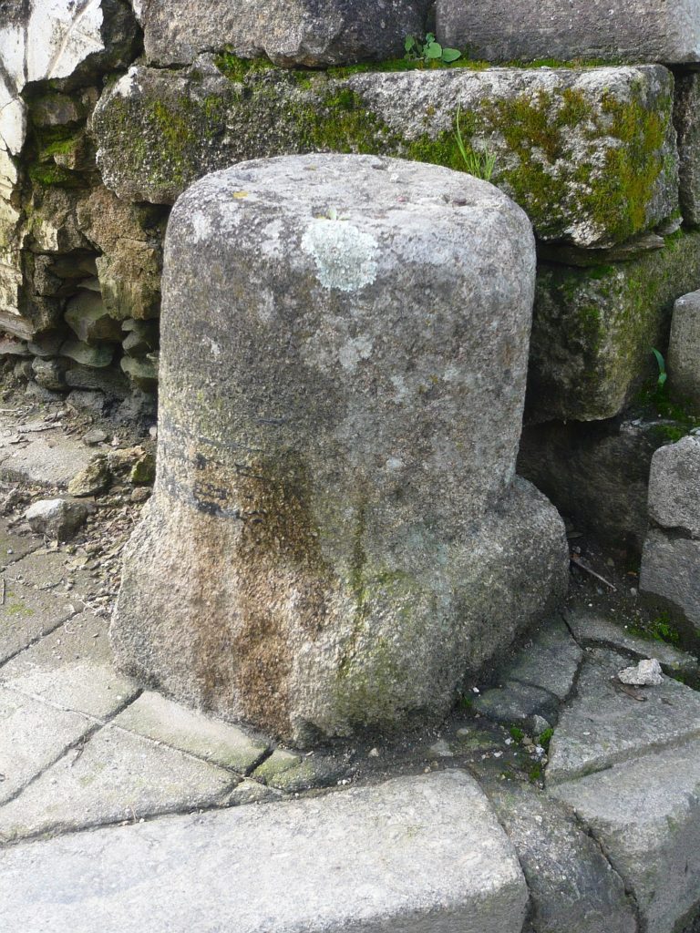
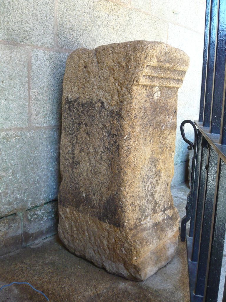
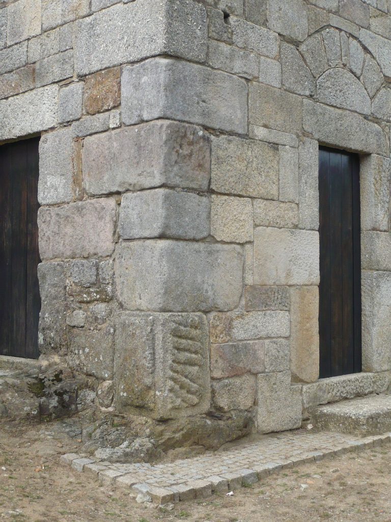
Possible milestone in the village 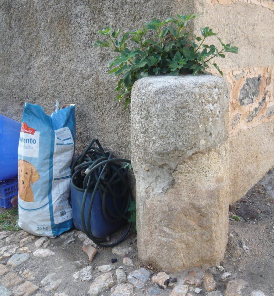
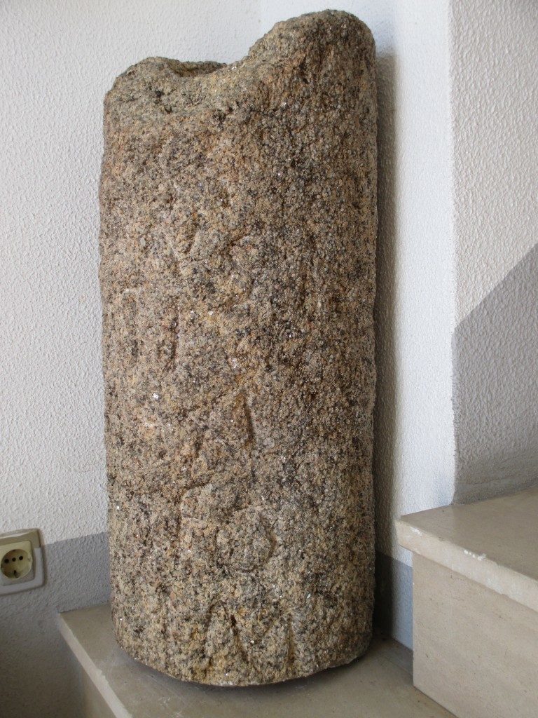
The other one is placed in the corner of a street intersection next to the Parish Church without any tace of letters; coordinates: 39.949731,-7.119369