O chamado Itinerário XX de Antonino (dita Via XX) faz todo o seu percurso em território espanhol e por isso nunca foi abordado em detalhe no site viasromanas.pt, limitando-se a apresentar algumas das propostas recolhidas na bibliografia existente, em si bastante divergente (por ex. Maside, 2001; Vila Goméz, 2005). No entanto, na sequência da publicação da proposta completa do traçado para o Itinerário XIX (de Braga a Lugo por Ponte de Lima e Tui; ver post anterior – ‘O Itinerário XVIII Bracara-Asturica pela Serra do Gerês‘), foi possível rever os dados disponíveis sobre esta variante também de Braga a Lugo, mas cognominada de ‘per loca maritima‘, algo como “por locais marítimos”. Com efeito, ao contrário daquele, a parte inicial do Itinerário XX segue um trajecto marítimo ao longo da costa galega, atendendo ao facto de as distâncias intermédias serem indicadas em estádios (um estádio = cerca de 185 m ou 1/8 da milha) , unidade habitualmente utilizada em itinerários marítimos.
A seguir apresenta-se uma nova proposta de traçado para este itinerário, em total consonância com as distâncias indicadas nos códices medievais do Itinerário de Antonino, assim como propostas inéditas de localização das estações intermédias, com destaque para a elusiva Brigantium, tradicionalmente associada à Coruña sem qualquer suporte factual, e que, segundo o trajecto seguido, estaria na área da actual povoação de Foro (Boimorto). A segunda estação referida é Caranico, presumivelmente localizada junto da Igreja de Santa Maria de Ramellle (Friol).
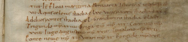
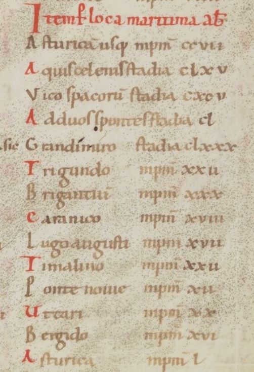
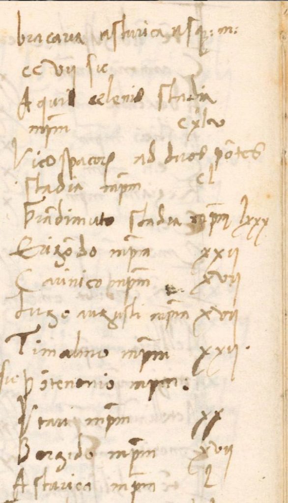
O Itinerário XX nos códices medievais
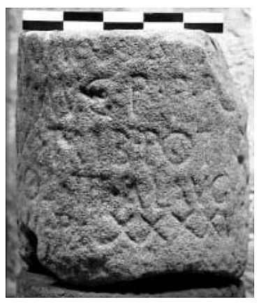
https://tecabml.contentdm.oclc.org/digital/collection/plutei/id/1086405/rec/3815
(Esq.) Códice Parisinus Regius 4808, f. 44v (séc. XII) – Bibliothèque Nationale de France
https://gallica.bnf.fr/ark:/12148/btv1b10546166w/f96.item
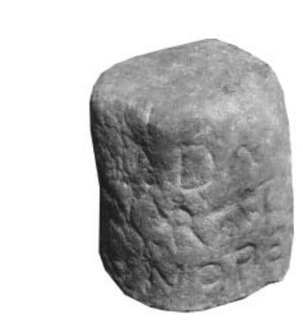
(Dir.) Códice Florentinus Laurentianus – Plutei 89, 68 (séc. XV) – Biblioteca. Medicea Laurenziana
https://tecabml.contentdm.oclc.org/digital/collection/plutei/id/909208/rec/3816
A localização de Aquis Celenis ou Quecelenis
A parte do Itinerário em território português entre Braga e a primeira estação referida no Itinerário, Aquis Celenis, tem suscitado muitas dúvidas, com diversos autores a proporem um rota terrestre alternativa à via Braga – Ponte de Lima – Tui, partindo de Braga para oeste, rumo a Esposense ou a Caminha. No entanto, é mais plausível que este itinerário siga o mesmo traçado do Itinerário XIX até Tui, simplesmente omitindo as duas primeiras estações, Limia e Tudae. Assim, os primeiros 165 estádios (cerca de 30 km) medidos a Aquis Celenis seriam referentes à rota fluvial através do rio Minho entre Tui e a sua foz em Caminha, um percurso que de facto ronda os 30 km ou 20 milhas (Crespán, 2015 e 2016).
Também a grafia desta estação é muito duvidosa dado que o mesmo topónimo surge também na Itinerário XIX , mas localizado muito mais a norte, presumivelmente em Caldas dos Reis (Pontevedra). Assim é mais provável que sejam diferentes estações, uma localizada na foz do Minho (a do Itinerário XX) e outra em Caldas dos Reis (a do Itinerário XIX).
Nesta discussão, importa recuperar o topónimo ‘Quecelenis‘ referido na geografia do Anónimo de Ravena, na mesma sequência de Tui, e que poderá ser a verdadeira designação desta estação na foz do Minho. A ser assim, o povoado de Quecelenis poderia corresponder ao Castro de Santa Tecla, ou ao respectivo porto marítimo na foz do rio Minho. Com efeito, Estrabão refere que “diante da sua embocadura situam-se uma ilha e dois quebra-mares com ancoradouros” (Deserto e Pereira, 2016) que poderá ser identificada com a pequena ilha onde assenta o Forte da Ínsua .
Itinerário de Aquis Celenis/Quecelenis a Santiago de Compostela
A rota continua para norte fazendo um périplo pelos portos da costa Galega rumo a Santiago de Compostela. Aliás, esta foi a rota utilizada pela barca que transportou o Apóstolo até Compostela, denunciando a manutenção deste percurso durante esse período. Inicialmente percorre 195 estádios (cerca de 35,8 km) até Vico Spacorum, distância que coloca esta paragem no acesso à ria de Vigo.
O topónimo Vico poderá ter relação com o Castro de Vigo, mas este localiza-se no interior da ria. Assim, Vico Spacorum poderá referir um local à entrada da ria, podendo este ser identificado com o sítio romano de Toralla. Aqui subsistem importantes vestígios de uma villa monumental, com um complexo sistema termal, portanto, compatível com uma estação viária. Aliás, o topónimo pode ser desdobrado em ‘spa-corum‘ (no sentido de ‘águas termais de Corum’), o que permite estabelecer uma relação com as termas ali existentes
Percorrendo mais 150 estádios (cerca de 27,5 km) atingia Ad Duos Pontes (literalmente ‘junto das duas pontes’) que poderá localizar-se no castro marítimo de Lanzada (Noalla), cuja ocupação remonta ao Bronze Final. Daqui penetrava na ria de Arousa, a maior das rias da Galiza, rumo a Santiago de Compostela. Uma ara votiva encontrada em Lugo é dedicada à divindade Lucobo Arousa(ega), evidenciando a relevância deste canal de penetração para o interior na Galiza.
Entrando pela ria adentro, seguia para o porto romano do Adro Vello (Praia do Carreiro, Grove); ara aos lares viales), daqui seguia até à margem do castro marítimo de Vistalegre (Vilagarcia de Arousa; inscrição a Neptuno), percorrendo 180 estádios (cerca de 33 km) até ao porto de Grandimiro (Grandimuro ou Glandimiro), presumivelmente localizado na área da Cabo do Cepo em Quintáns, na base do Castro das Cercas.
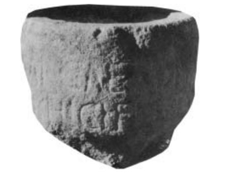
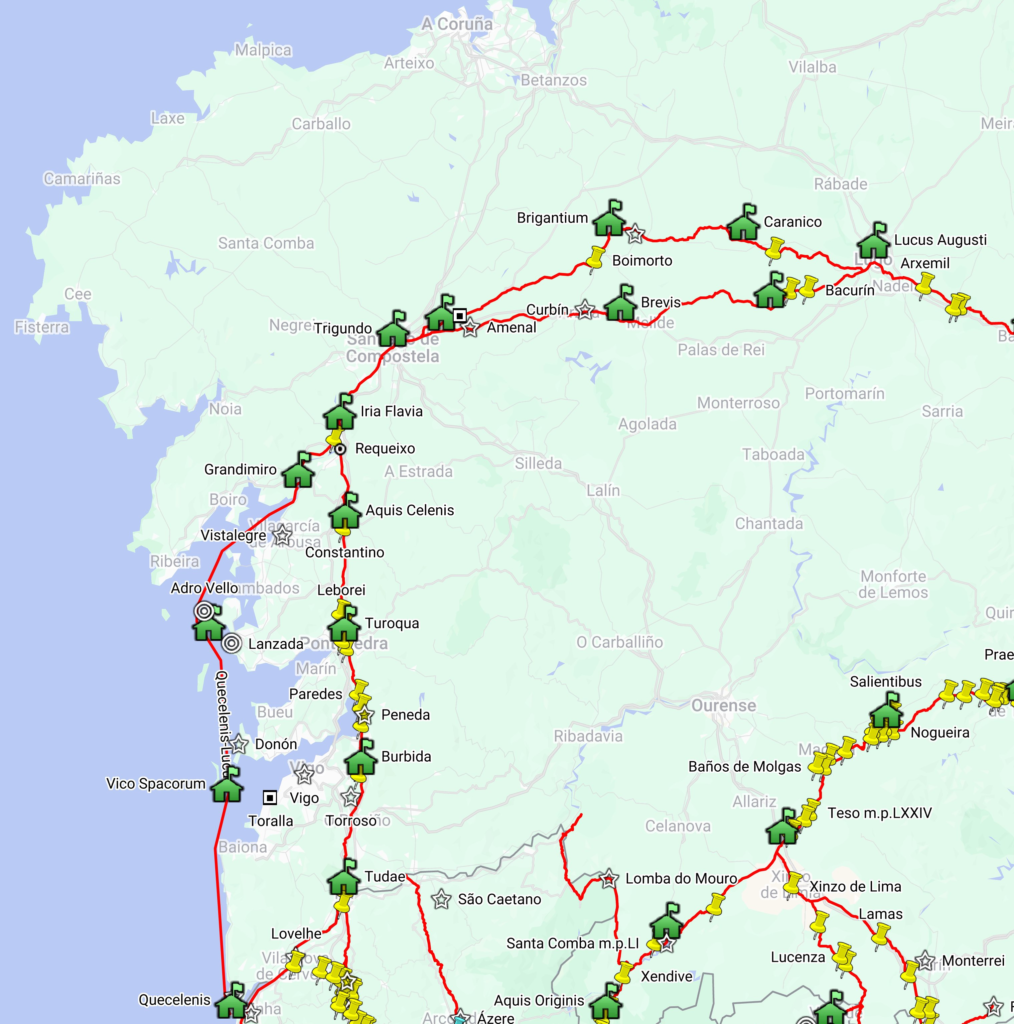
Ara de Neptuno (Padrón) 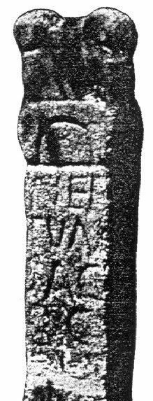
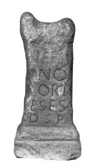
Ara de Neptuno (Vistalegre) 
Ara aos Lares Viales de Adro Vello 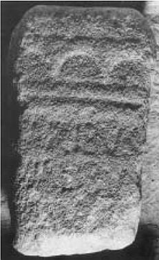
Ara aos Lares Viales de Santiso (Castrofeito) 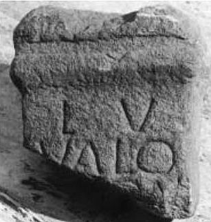
Ara aos Lares Viales de Torres do Oeste (Catoira) 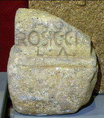
Inscrição da Cohors I Celtiberorum (Sobrado)
A partir daqui o Itinerário XX passa a indicar as distância em milhas, sinal de que o percurso seguia a partir daqui por via terrestre, percorrendo as 22 milhas indicadas até Trigundo, seguindo pela margem direita do rio Ulla por Torres do Oeste (outra ara aos lares viales), Bexo e Tallós até Padrón, reunindo com o Itinerário XIX. Neste último local, dentro da Capela de Santiago, existe uma ara dedicada a Neptuno pelos Corienses (CIL II 2540) que a lenda diz ser a pedra onde foi amarrada a barca do Apóstolo Santiago, sugerindo assim que esta poderia ter chegado até aqui através dos rios Ulla e Sar. O destino final do Apóstolo seria a estação viária de Trigundo, conforme é designada no Itinerário XX
Santiago de Compostela assenta assim num importante nó viário que estrutura a rede de vias antigas desta parte da Galiza, na confluência dos Itinerários XIX e XX e articulando estes coma as ligações à Coruña e a Lugo. Mais uma vez salta à vista a grande perenidade destas estações viárias antigas, na estruturação do mundo medieval, escolhendo como destino final para o corpo do Apóstolo uma estação romana situada num ponto absolutamente estratégico da rede viária regional, facilitando assim o acesso dos peregrinos vindos de todas as direcções.
Itinerário de Santiago de Compostela (Trigundo) a Lugo (Lucus Augusti)
Se até aqui a rota do itinerário é relativamente consensual (apesar das grandes divergências entre autores na localização das respectivas estações), o mesmo não se pode dizer das restantes etapas até Lugo. Com efeito, a maioria dos investigadores prolonga a rota do Itinerário XX por Arzúa e Vilamaior de Negral rumo a Lugo, via que de facto existe, mas que seria antes o trajecto descrito no Itinerário XIX. Assim, o Itinerário XX deveria seguir por uma variante norte, seguindo por Boimorto e Friol, locais onde apareceram miliários (Monteagudo, 1981; Gesto et al, 1997) .
Este trajecto deriva logo depois de Santiago de Compostela (San Marcos), seguindo junto da Capela da Agra de Santiso (provável mutatio; duas aras dedicadas aos lares viales e outras inscrições; Peréz Losada, 1988) e San Gregório, em direcção a Boimorto (miliário de Maximino, actualmente defronte da Casa do Concello; Monteagudo, 1981; Peréz Losada, 1988), continuando daqui até Foro, povoação que está a 30 milhas de Santiago, e onde se regista os topónimos viários Hospital e Mesón. Ora, esta distância acerta com a estação de Brigantium, sendo que nas proximidades regista-se o lugar de Arentia (Fonte e Capela de San Cidre/San Vitorio), divindade com mais expressão na Lusitânia (Castelo Branco e Estremadura espanhola), sinal de que por aqui passavam viandantes de outras paragens.
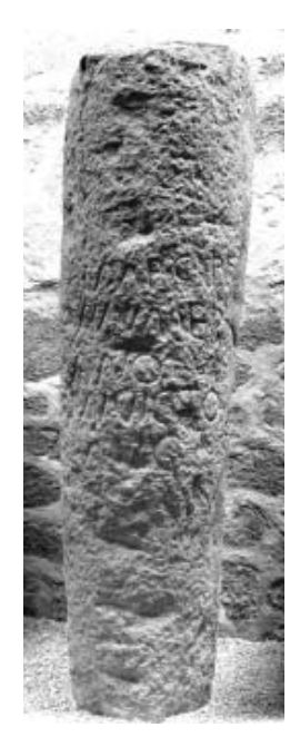
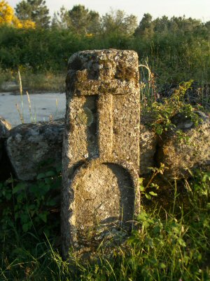
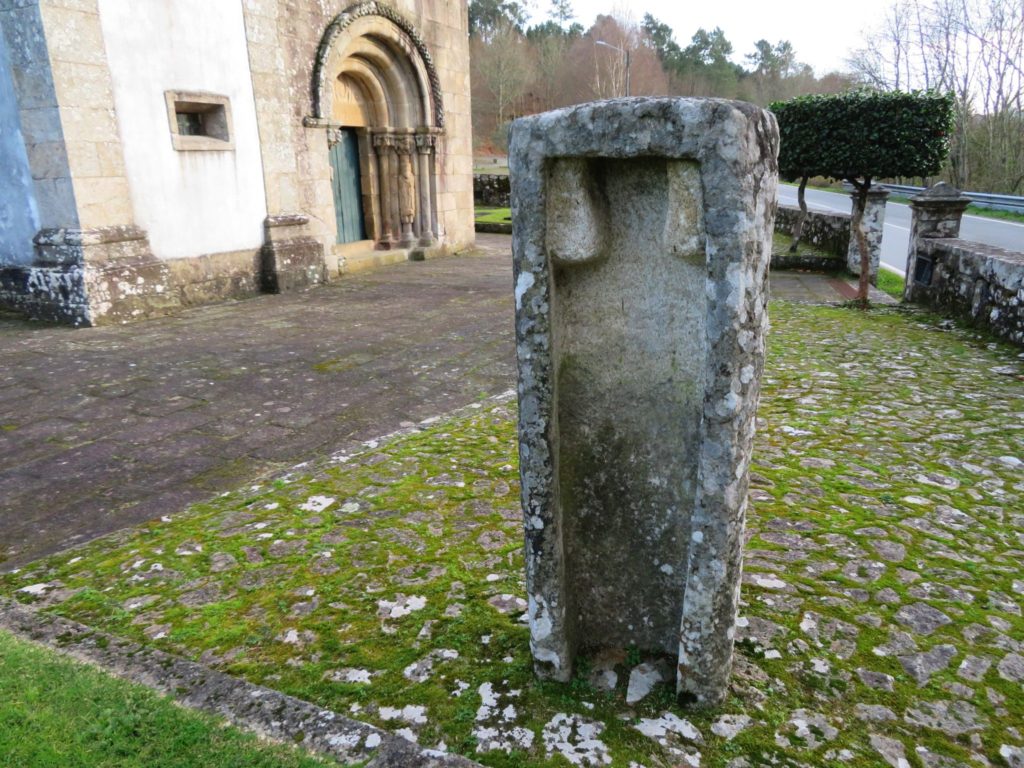
Marco de Boimorto (Maximino)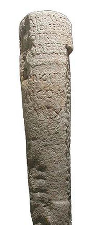
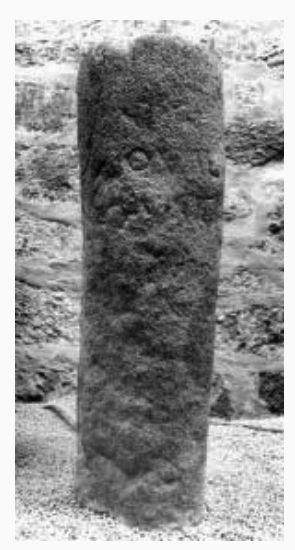
Marco de Friol (XIII m.p. a Lucus)
A partir de Foro (=Brigantium), a via deveria continuar para norte passando no acampamento romano de Ciadella (Cohors I Celtiberorum ), porém o Itinerário inflecte para nascente rumo a Lugo, seguindo junto do Mosteiro de Sobrado em direcção a Friol. Próximo desta última povoação (actual sede concelhia) assentaria a estação de Caranico, dado que este local se encontra a 18 milhas de Foro e a 17 milhas de Lugo, ou seja, as distâncias intermédias indicadas no Itinerário. Ora, segundo a contagem miliária, a estação estaria na área da Igreja de Santa Maria de Ramelle, cerca de duas milhas antes de atingir Friol. Daqui seguia pelo Monte Lodoso, onde apareceu um miliário indicando 13 milhas a Lugo (Gesto et al, 1997). Daqui segue por Guldriz de Abaixo, Ermida de Santa Marta, Locai e Astariz, atingia Lugo. O ponto de reunião com a variante sul (Itinerário XIX) seria junto do cruzamento da ribeira de Louzaneta em Areeiras (a última milha), seguindo depois a chamada ‘Estrada Vella de Santiago’ até à ponte romana de Lugo .
Com a publicação desta proposta de trajecto para o Itinerário XX fica finalmente completa a descrição de todos os Itinerários de Antonino no actual território português, fechando assim um ciclo de estudos iniciados por mera brincadeira no já longínquo ano de 2004!
Bibliografia
CRESPÁN, César González (2015). Parte de la vía romana nº XX “per loca maritima” iba por el mar.
CRESPÁN, César M. González (2016). Nueva interpretación de la vía romana nº XX “per loca maritima. Glaucopis, Boletín do Instituto de Estudos Viguenses, Vigo, Ano XXI, Nº 21.
DESERTO, Jorge; PEREIRA, Susana (2016). Estrabão, Geografia. Livro III: introdução, tradução do grego e notas. Coimbra: Imprensa da Universidade de Coimbra.
GESTO, J.M.C. et al. (1997). El Miliario de Friol: aportaciones al conocimiento de la Vía XIX. Boletín do Museo Provincial de Lugo, 8, 1-18
MASIDE, Rosa M. F. (2001). Vía per loca maritima: un estudio sobre vías romanas en la mitad noroccidental de Galicia. Gallaecia, 20, 217-248.
MONTEAGUDO, L. (1981). Miliario romano de Boimorto. El Correo Gallego, 19-IV, 14-15.
PÉREZ LOSADA, F. (1988). Vías romanas nos concellos do Pino e Boimorto (A Coruña, Galicia). Vestixios arqueolóxicos e posible trazado. Porto: Trabalhos de Antropologia e Etnologia, XXVIII.
VILA GÓMEZ, J. (2005). Vías romanas de la actual provincia de Lugo. Tese Doutoral. Universidad de Santiago de Compostela.