Tag Archives: bridge

The crossing of the River Alva at the Mucela Bridge

One of the main itineraries that crossed the portuguese territory had origin in the city of Conímbriga, crossing the «Beira Alta» region towards the river Douro, passing in Bobadela, Celorico da Beira (where it crosses the Mondego River), and through the territory of the Civitas Aravorum (Marialva), linked to important crossings of the Douro, one in Quinta de Vesúvio/Sra. da Ribeira and another on Monte Meão/Foz do Sabor (and not for Salamanca as had been said).

This itinerary has been associated to the so called “Estrada da Beira” (Beira Road) that starts in the city Coimbra and links to Celorico da Beira, but the direction of this route clearly indicates that its origin was in Conímbriga and not in Coimbra. A possible branch connecting to Coimbra, although not impossible, does not seem feasible, since the derivations of the route connect not to Coimbra but to fluvial ports in the Mondego (namely Porto da Raiva and Penacova). Although there are tracks on the other bank, these seem to be heading northwest and not towards Coimbra, which further weakens this hypothesis. Inevitably, these tracks end up crossing the route coming from Viseu towards Coimbra, and thus can follow this way that city, but the various inflections in the way are not consistent with the existence of an independent track linking Coimbra to Bobadela.

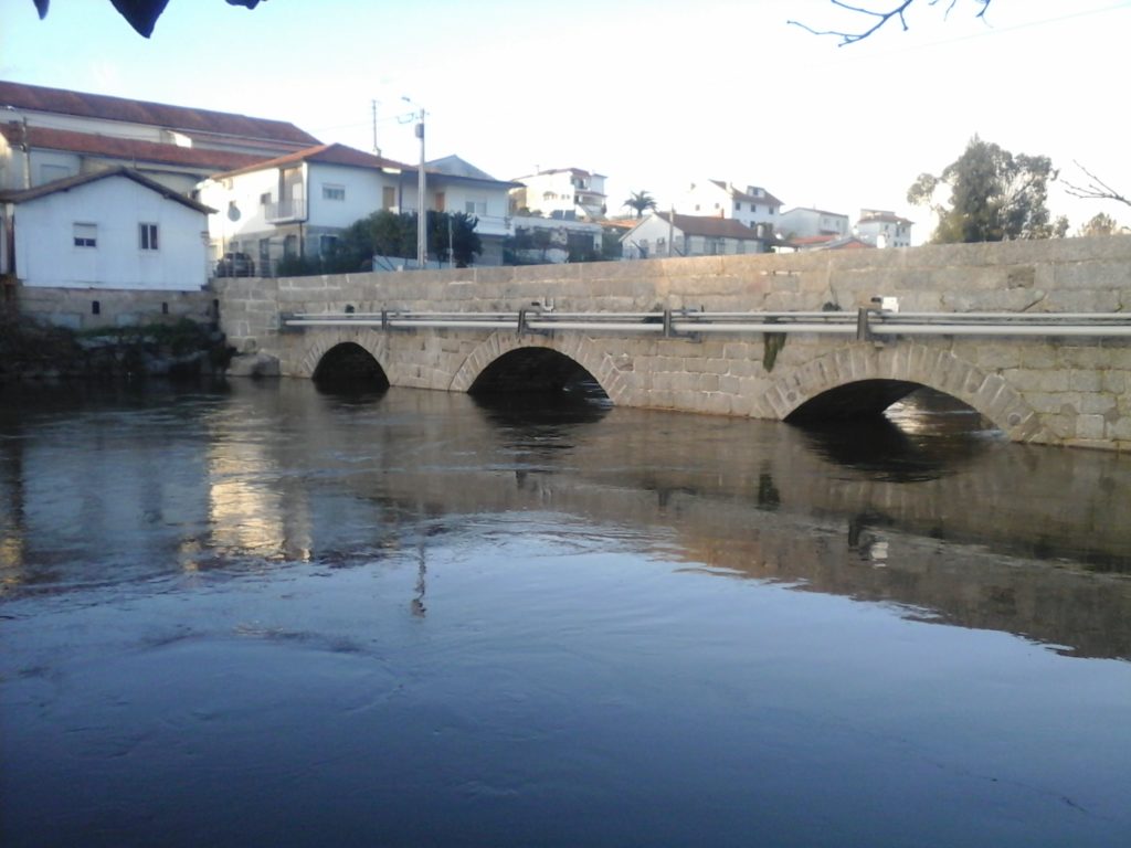
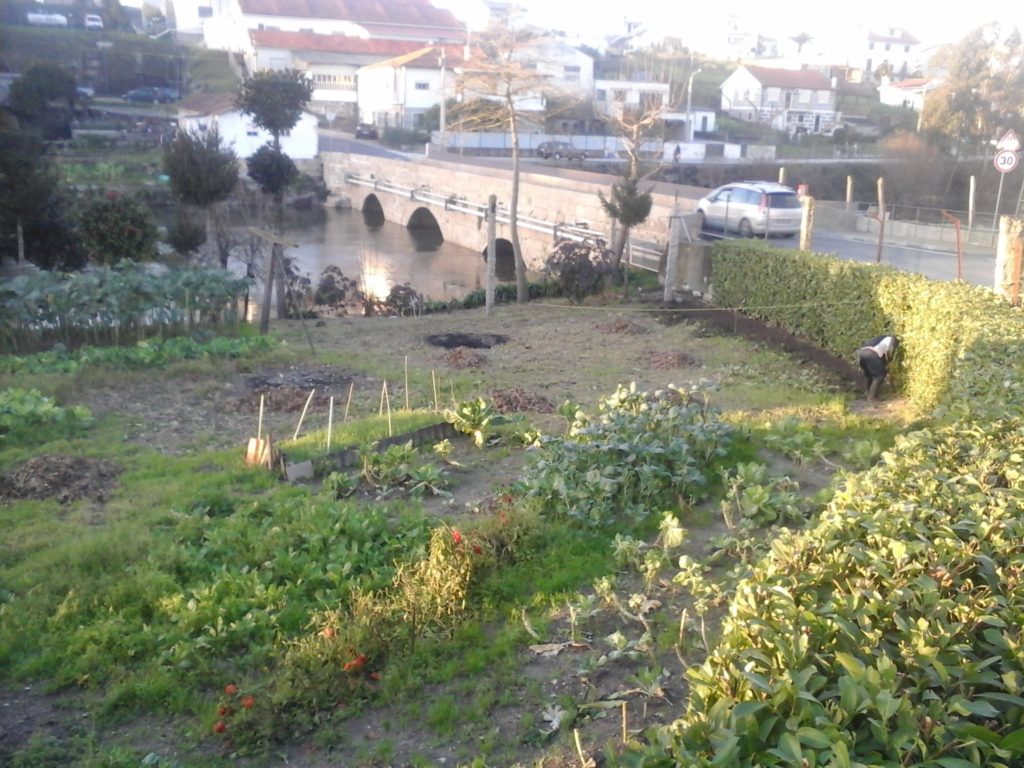
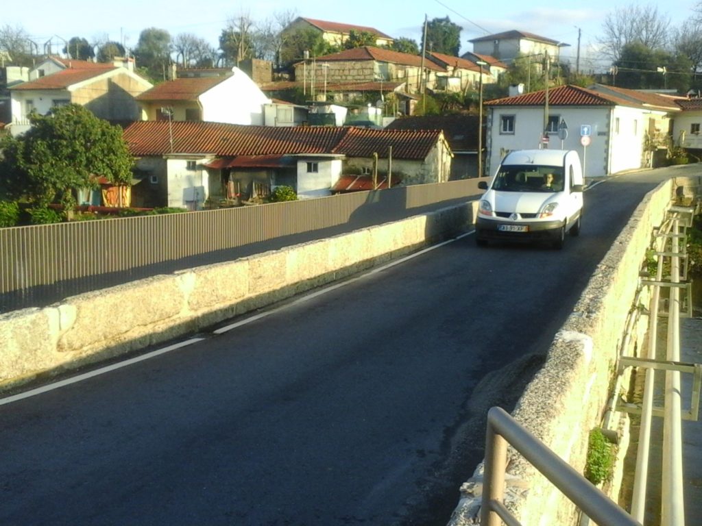
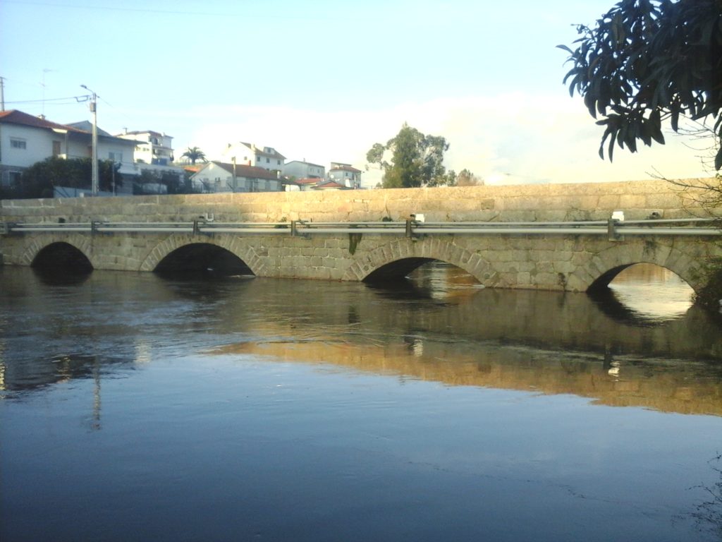
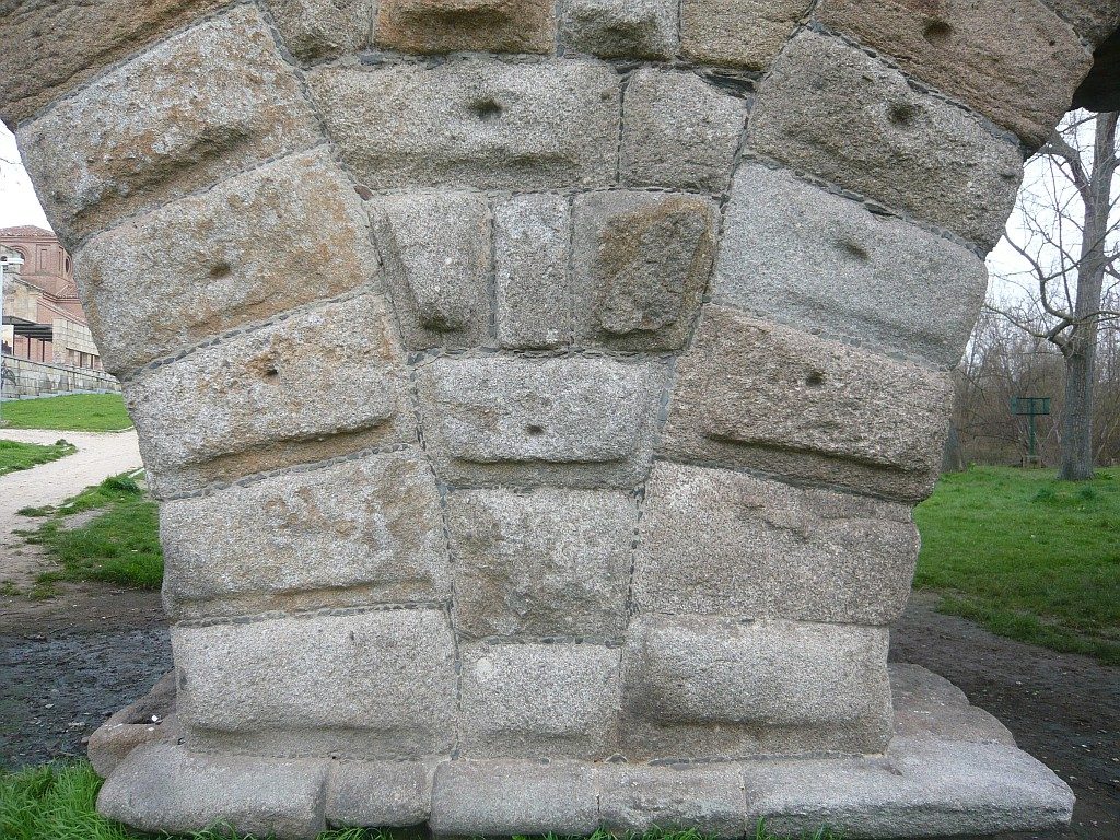
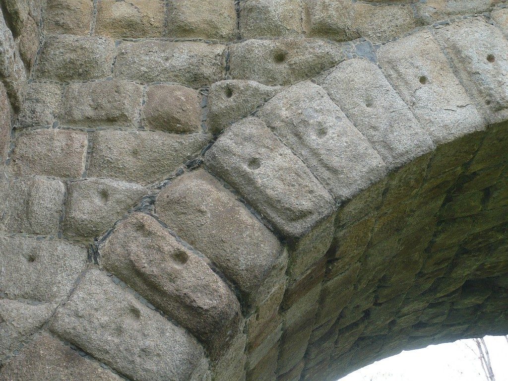
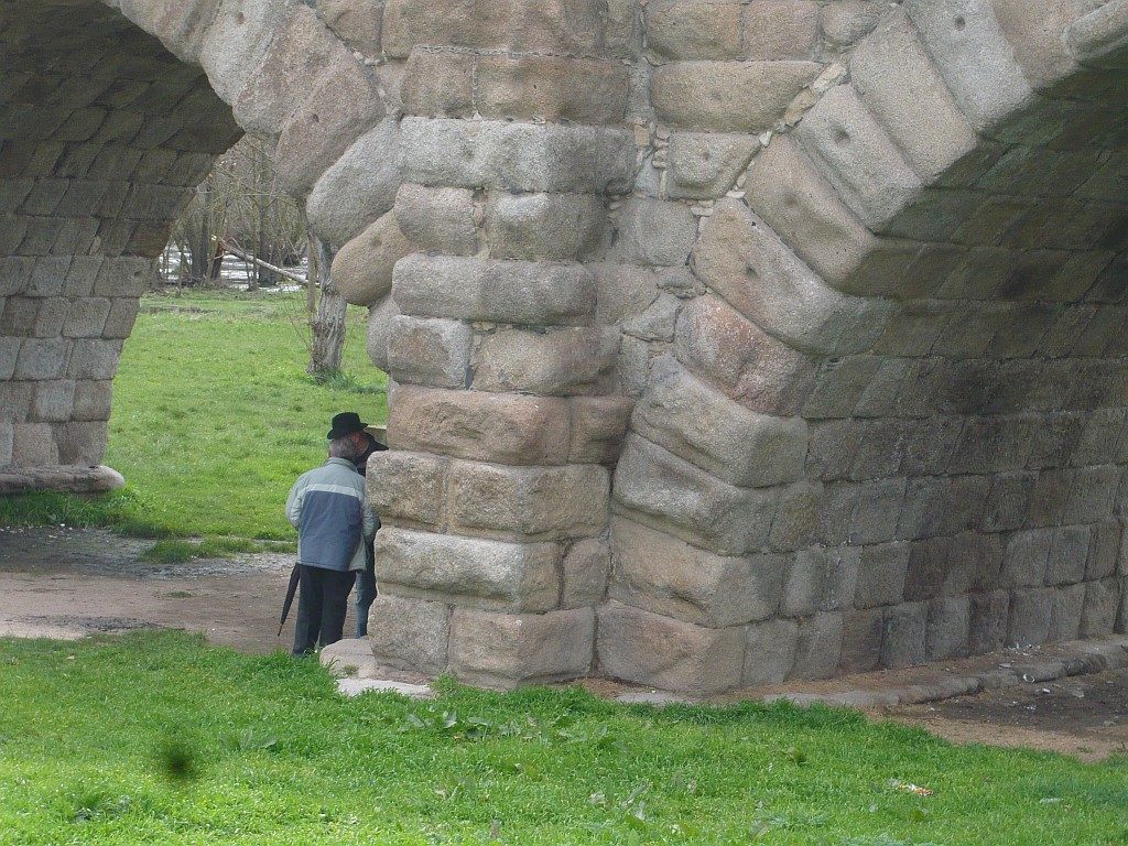
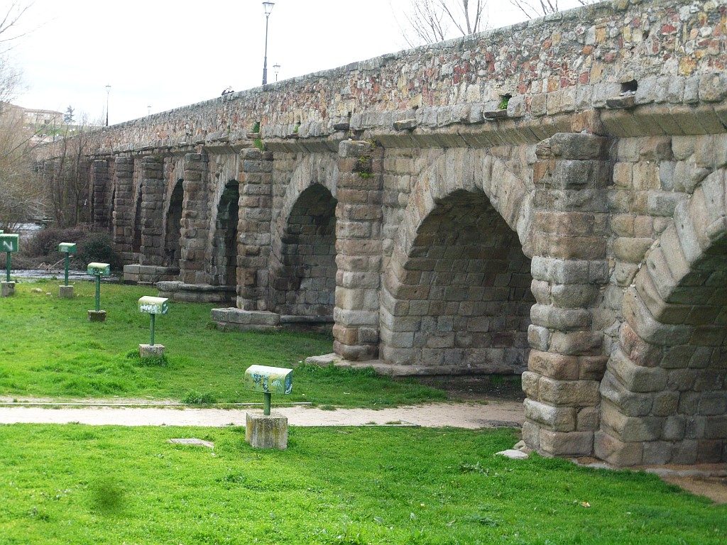
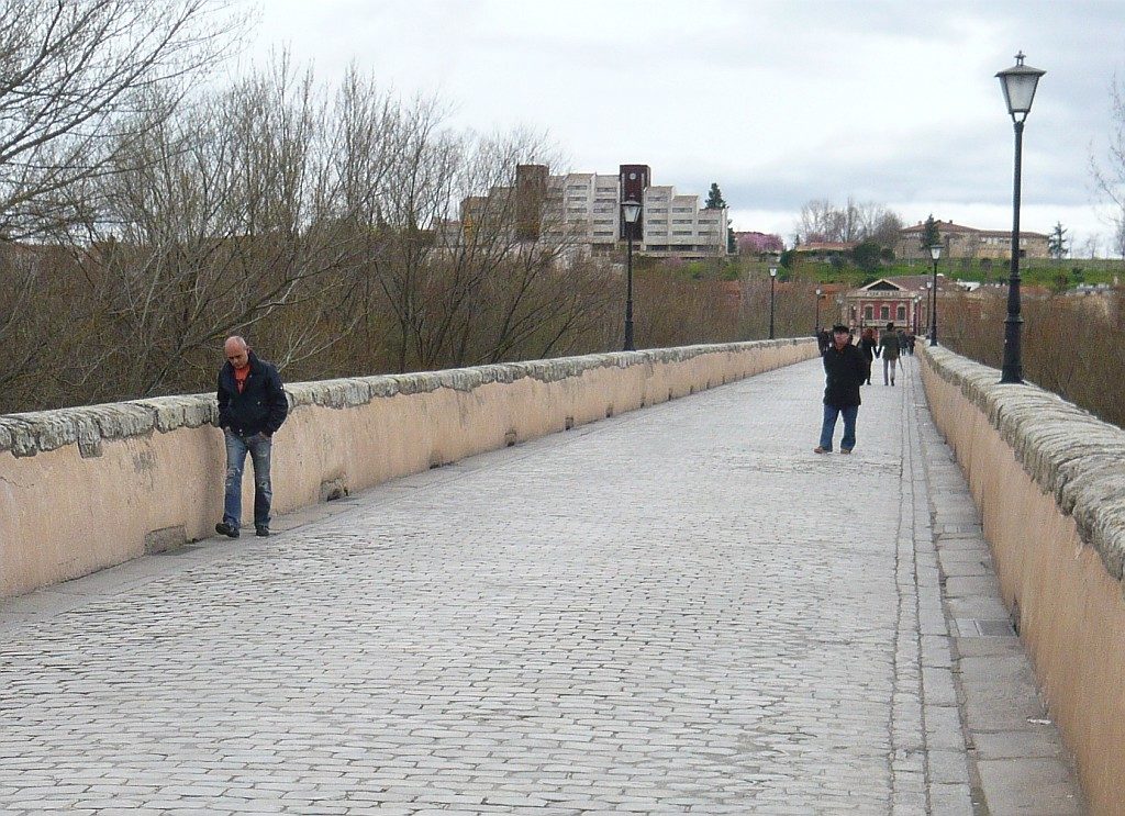
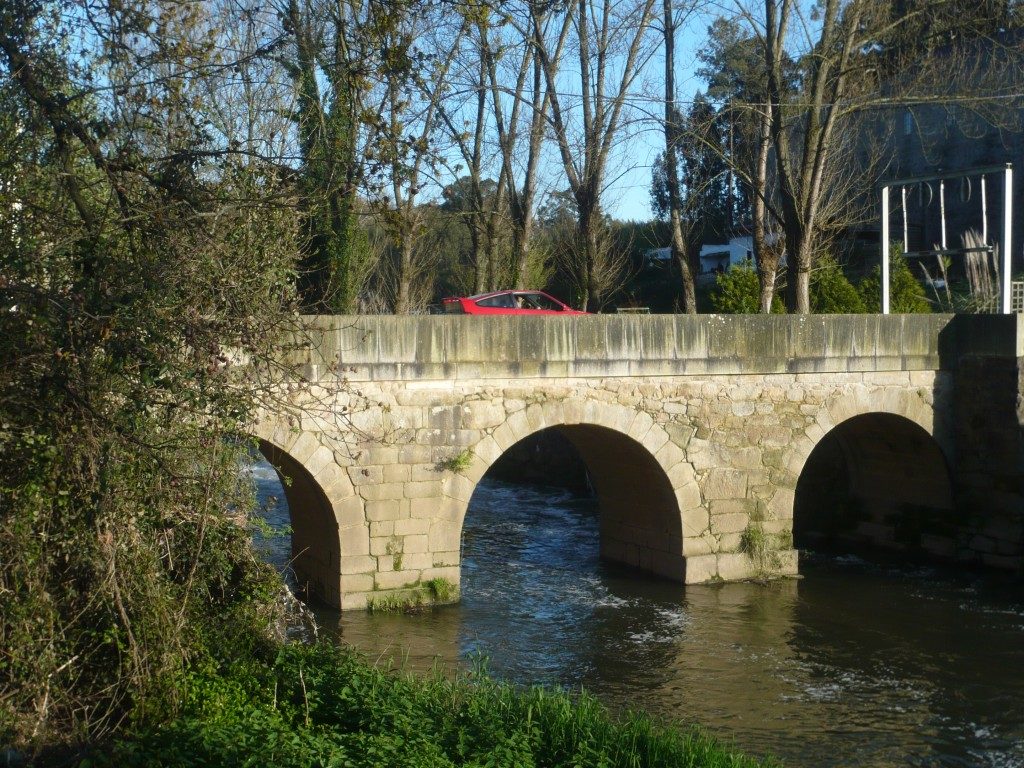
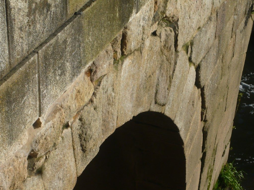
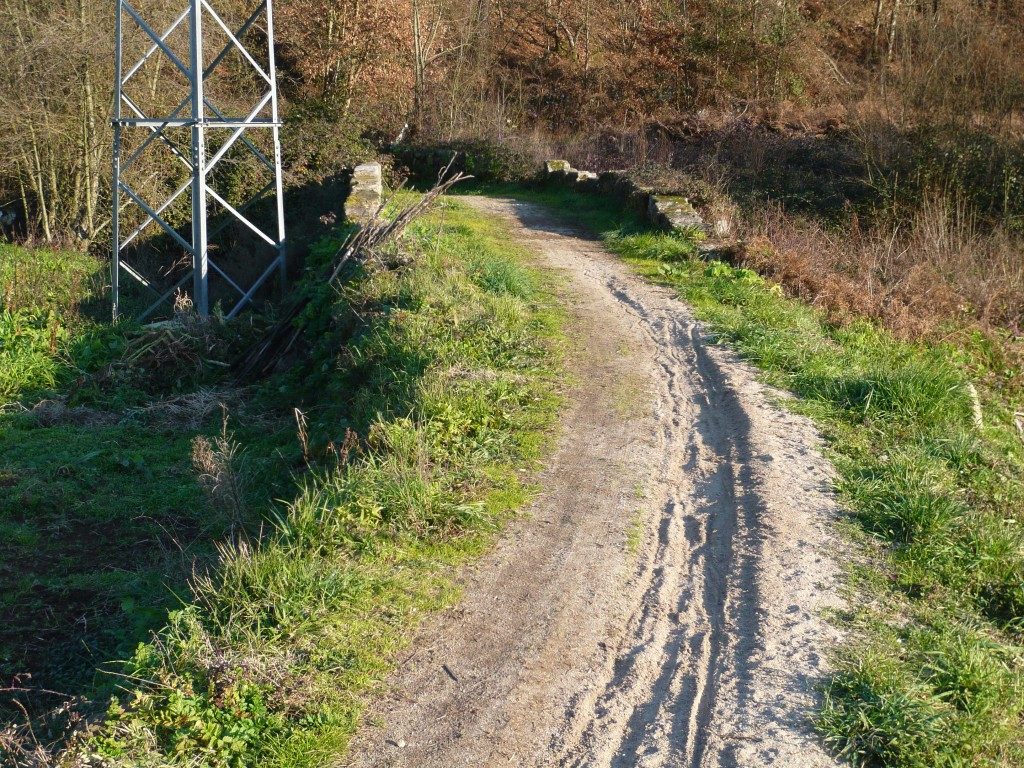
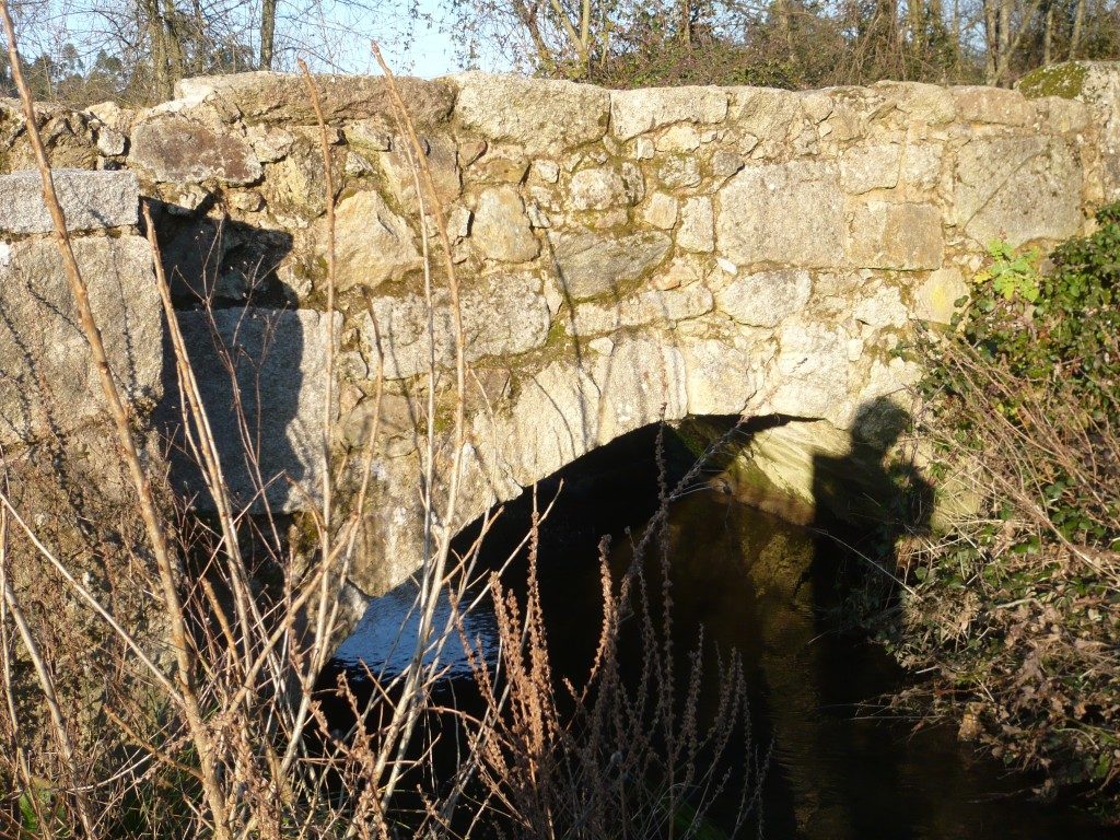
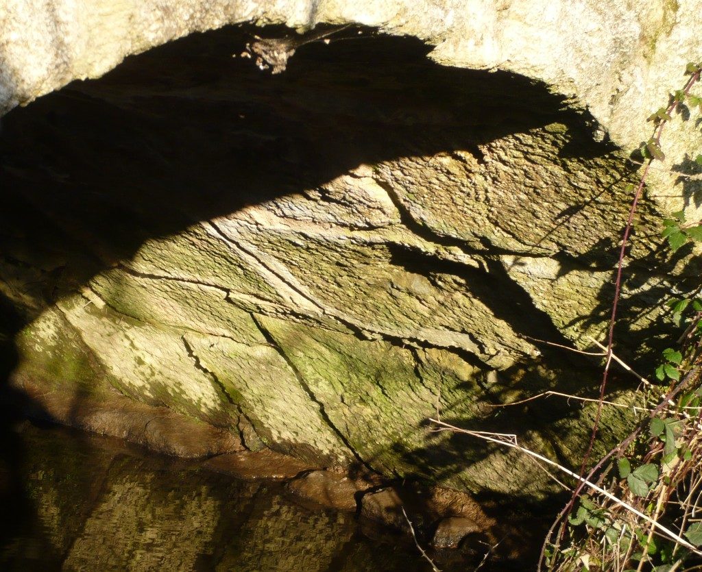
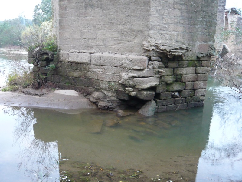
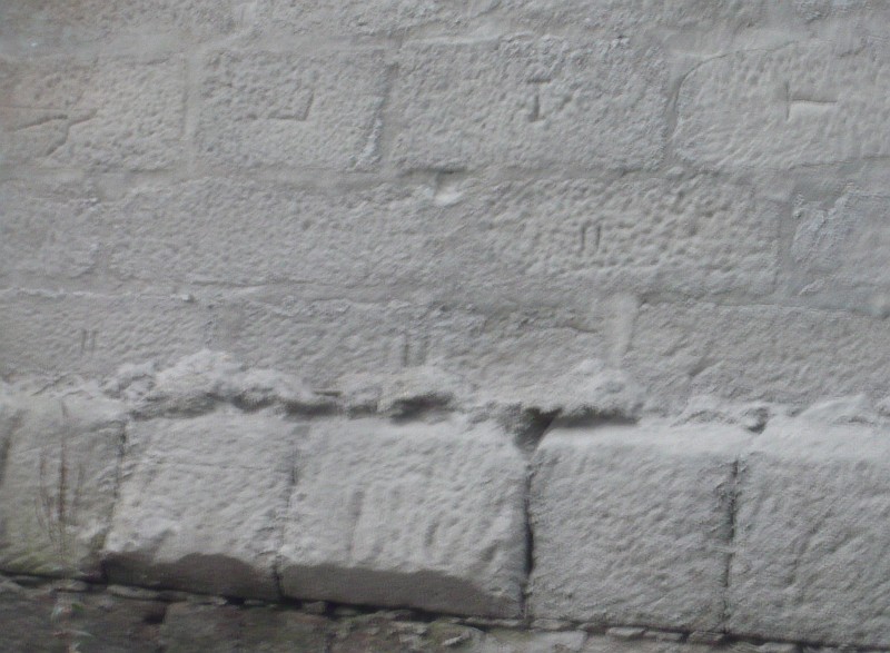
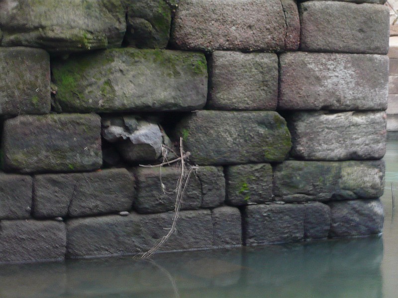
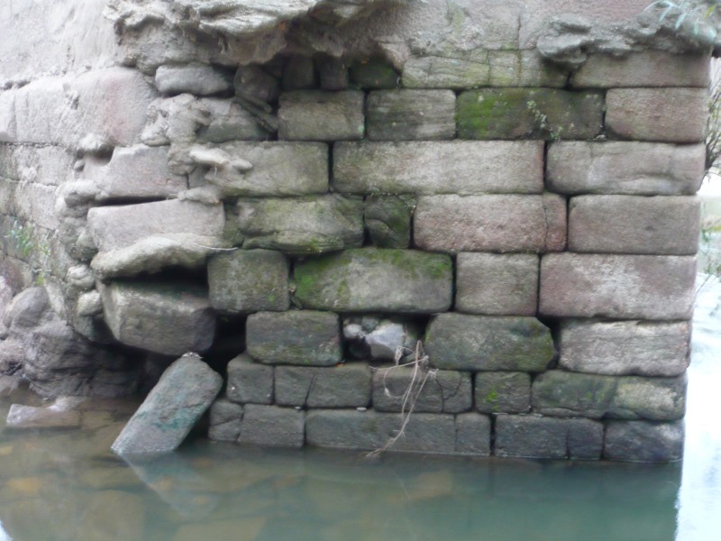
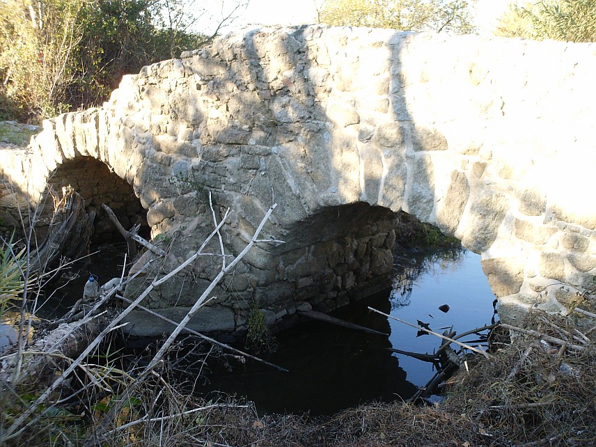
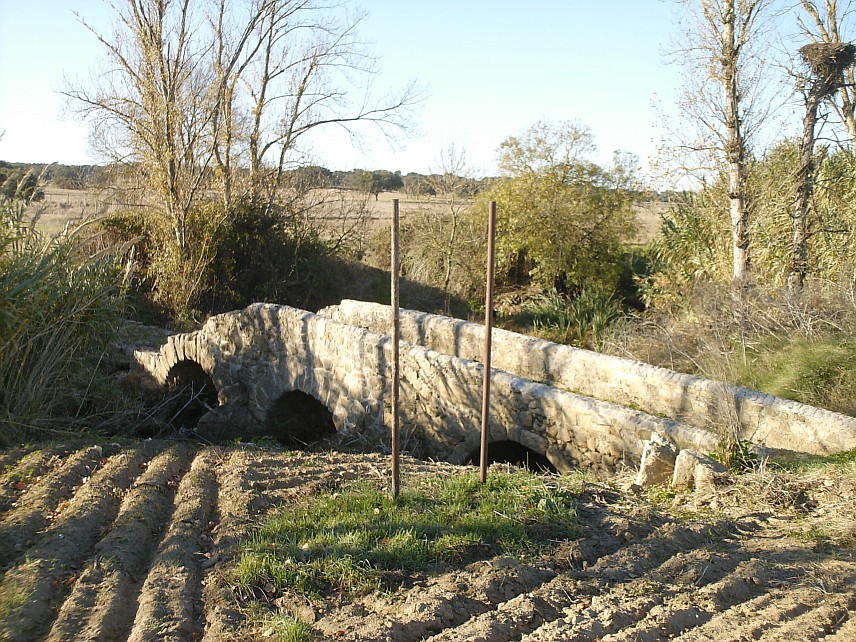
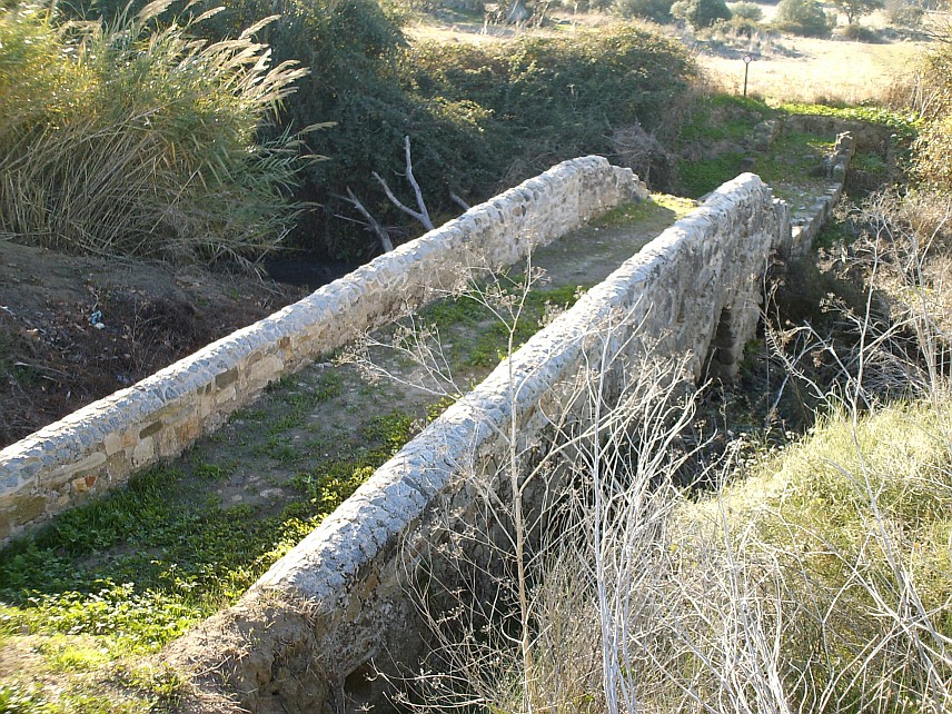
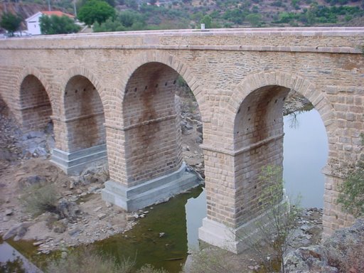
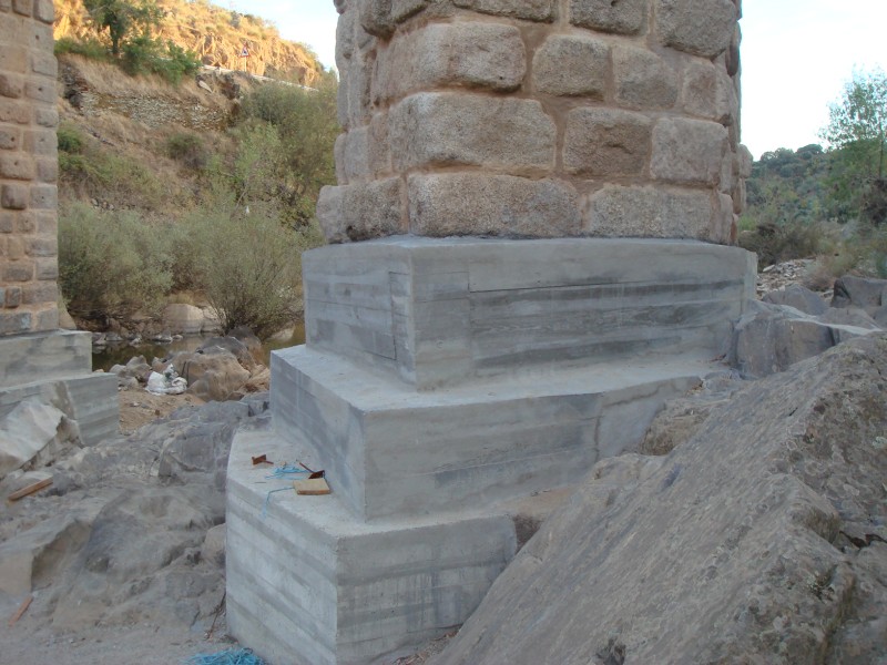
If there are doubts about the final destinations of the road, the place where the road crossed the River Alva is unanimous, pointing to the area of «Ponte da Mucela», a traditional crossing point since the Middle Ages. In the book Monarquia Lusitana, Fray Francisco Brandão transcribes an inscription that was placed on the medieval bridge, commemorating its construction in 1295, during the reign of King Dinis. However, the identification of some Roman stones that were reused in the medieval construction supports the hypothesis of an earlier Roman bridge, perhaps further downstream, near the Roman settlement of Moura Morta, where the crossing is much easier.

Changes introduced to the route Via Conímbriga – Bobadela at the crossing of the Alva River (red line), near the Roman settlement of Moura Morta and crossing of «Serra do Bidueiro» near the megalithic «mamoa» of S. Pedro Dias.

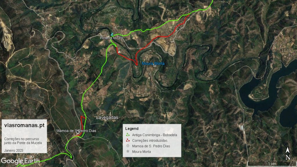
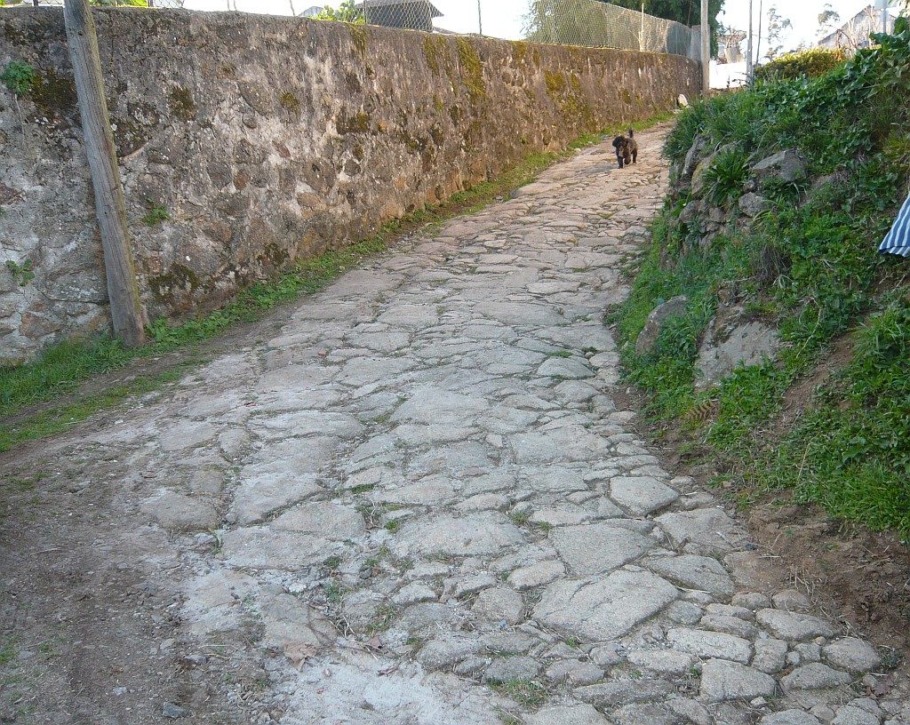
The settlement is located on a meander of the River Alva, which surrounds the settlement on all sides but the southern side, from where the site was accessed. However, the strong cliffs on the other bank make it impossible to cross at the base of the settlement. However, between this place and the bridge, there is a more favourable area to cross the river, taking advantage of a hump that exists there to start the ascent of the hillside in gentle steps. In fact, the passage through this area might not even require the construction of a bridge, in which case, the Roman ashlars  could have come from the village of Moura Morta itself, which is only about 1 km from the current bridge.

But independently of the question if the existence of a Roman bridge, everything points for the crossing here of the river for the reasons explained above and also because this tracing is in line with the mile sequence between Conímbriga and Bobadela. In fact, the distance from Conímbriga to the Alva River through the proposed route totals 29 miles (typical value between stages), and the 27th mile points to the top of the mountain gateway of Serra do Bidueiro, next to megalithic monument called «Mamoa of S. Pedro Dias» (a pilgrimage to this site takes place everyear), showing once again the great antiquity of this route, at least as a footpath.

This correction also allows us to match the sequence of miles with the only known station in this route, located in Eira Velha (unfortunately recently destroyed by the construction of the Coimbra-Tomar section of the A13 highway, another avoidable destruction of Roman structures next to the road), which is located 22 miles from Rio Alva and seven miles from Conímbriga. This track continued westwards until the town of Soure (eventually a river port of the Mondego), where a milestone was found.

Regarding milestones, there are only three on this route, all of them found near Seia, at the crossing with another major road, the route from Viseu to São Romão castrum (c. Seia), so we do not know for sure which of the two routes was marked by milestones.

The only one that still keeps part of the inscription is from Imperor Maximiano, indicating XXI miles, a distance compatible with Bobadela and Celorico da Beira, but which seems more appropriate to the latter, in this case marking the distance to the Mondego River. It is currently located in the garden of a rural tourism house in Paços da Serra. Recently, another milestone (anepigraphic) was identified near the Santa Comba cemetery, which is most probably in situ, and is therefore decisive to adjust the milestone sequence. The third one was identified nearby, in the village of Vila Chã, and it was reused as support of a balcony of a house, whose morphology and proximity to Santa Comba supports the hypothesis that it is in fact another milestone of this route.

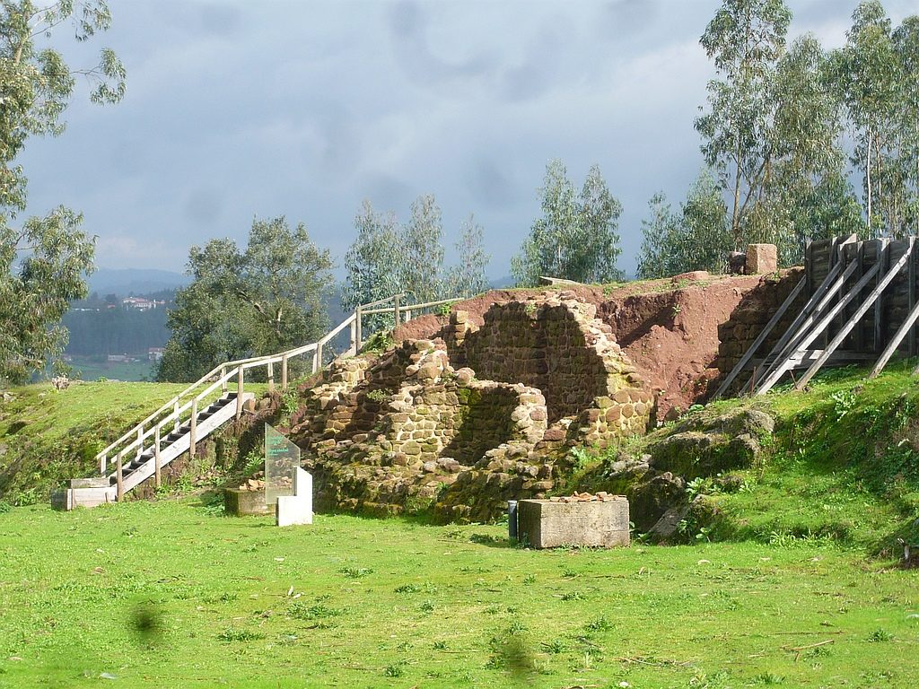
Returning to the crossing of the Alva river at Mucela, the Moura Morta site does not have any sign of a previous Iron Age occupation, which means that it was established by the romans, eventually to control this passage (possibly a statio). However, until the settlement is excavated, nothing more can be added.

The Roman bridge of Campelos

(Originally published on January 12, 2015)

The Roman Bridge of Campelos over the Ave River is located northwest of Guimarães and connects the parishes of Vila Nova de Sande and Silvares in Guimarães and was part of the Roman road from Bracara Augusta towards Mérida ignoring Guimarães, since this city was only founded a long time later in the year 950 at the initiative of the Countess D. Mumadona Dias. Despite the successive repairs, the bridge’s structure still shows undoubted Roman characteristics with the typical perfect arched padded apparatus, presenting the typical robustness of the great works of that time; At least the northernmost arc does not look like reconstruction and allows to estimate its original configuration. The Roman road to Mérida certainly passed this crossing of the Ave and not upstream in the bridge of Caldas das Taipas, despite being “converted” into the “Camino de Santiago”; in fact there are clear references to this bridge in a document from the year 957 (PMH DC 71 ) and another from 1059
(PMH DC 420) as the “ponte petrina” (‘stone bridge’), showing that at that time the crossing was made on this bridge. After crossing the river, the road forked in 3 possible routes, the Roman Bridge of Negrelos towards Cale, the Roman Bridge of Arco de Vila Fria towards Tongobriga and the Roman Bridge of Vizela towards Meinedo and from here to the Douro river. The bridge was rehabilitated in 2015 to construct a pedestrian crossing, but its Roman origin remains ignored and so only few people notice that it is one of the best preserved Roman bridges in the entire Minho region and one of most important in Portugal. The bridge remains perfectly functional and still supports heavy road traffic from the industrial periphery of Guimarães, including heavy vehicles. Both the monument and the site deserve further attention. Coordinates: 41.462051, -8.345495
View in Google Street View

vide route here – https://viasromanas.pt/#braga_guimaraes

The Roman bridge of Segura by Duarte d´Armas

(Originally published on January 12, 2015)

In 1509, King Manuel I commissioned his squire Duarte d’Armas to survey the state of 56 border fortifications in the kingdom, a work that was to be completed in 1510 and which resulted in a manuscript known as the “Book of Fortresses” (“Livro das Fortalezas”). This work shows illustrations of the main castles that defended the integrity of the national territory. In the illustration referring to the Castle of Segura, Duarte d’Armas represented the old Roman bridge over the Erges river in detail showing the semi-destroyed central arch, clearly showing that the bridge was unusable in the 16th century. This arch was later repaired and still today we can see a larger central arch much bigger that the rest. It is the oldest known representation of this important Roman work (so forgotten in current tourist itineraries) and therefore a document of the utmost importance. Coordinates: 39.817403, -6.981816

Images from the book “Castelos Templários Raianos: Castelos de Portugal”. Templar Days of Penha Garcia, August 2013. Authoring and Coordination: Colonel Dr. António Pires Nunes.
Edition: Câmara Municipal de Idanha-a-Nova

The Roman bridge of Salamanca

(Originally published on September 13, 2013)

Some pictures recently taken of this monumental structure with 26 arches of which only the 15 date from Roman times. Salamanca’s Roman Bridge is one of the best preserved in the Iberian Peninsula. It was built in the first century AD and integrated the famous route between Emerita and Asturica, commonly known as «Via de la Plata». The monument highlights all the principles of Roman engineering for bridge construction, such as modularity; it’s 6 m wide allowing two-way traffic; holes on the borders allowed rainwater to flow out of the bridge. The ashlars have the typical forfex marks, demonstrating the use of mechanical tools for their positioning of the granite which by way was extracted 75 km from here (!), in the quarries of «Los Santos» close to Béjar.

The Roman bridge of Barreiros

(Originally published on September 12, 2013)

«Ponte de Barreiros», also known as «Ponte da Azenha» or «Ponte de Ronfes» is a bridge over the Leça River between Araújo and Maia, next to the National road EN13; This bridge was part of an old route linking Cale (Porto) to Limia (today Ponte de Lima) crossing the Cávado river in Barcelos, referred as “karraria antiqua” in medieval documents. The way is much older though with many pre-Roman settlements scattered along the way. It takes advantage of the natural corridors that exist between the rivers Douro and Lima and became a secondary road on the Roman network as no milestones were found on this route. The possible explanation for this could be in the fact that it misses the regional capital Bracara Augusta, the focal point for all main routes of the region back then. In medieval times became a major route to Santiago de Compostela and is still today the main way followed by pilgrims. Despite the rampant urbanisation It’s still possible to follow long sections the old way. The bridge suffered several reconstructions and repairs until reaching its present configuration, but the integration of some
cushioned ashlars in the arch staves on the right bank (visible in the photo) proves the reuse of materials from the previous Roman bridge. Coordinates:  41.224711,  -8.631817

Roçadas bridge

(Originally published on March 16, 2012)

This bridge is located in the place of Roçadas in Argoncilhe (Santa Maria da Feira). It was probably on the route connecting Cale (Porto) to Vissaium (Viseu). its present form is a rough construction not that all, but given its integration in this ancient path, it origins could be much older. An old section of the road can still be seem next to the bridge. Coordinates: 41.025388, -8.520372

vide route here – http://viasromanas.pt/#porto_viseu

The ancient bridge over the Vouga river

(Originally published on December 5, 2011)

The fall of the Vouga Bridge on November 12 2011 was not a surprise due to the advanced state of degradation of the bridge’s pillars. What is surprising is the willingness of the municipality to demolish the bridge (!), a decision that I hope will be overturned because this bridge has a great patrimonial value that cannot be obliterated. The current bridge is the result of successive repairs, the last one was its enlargement in the 1930s to adapt it to modern traffic. We know that its construction was ordered by D. João III in 1529 and that it was repaired in 1713 by order of D. João V given to the bridge its current configuration. In fact the current bridge was built on the structure of an earlier medieval bridge from which the pillars and arches are still visible, as can be seen in the picture above. Coordinates: 40.640735,-8.465931

The existence here of an early Roman construction is plausible because this was the crossing point of the main road connecting Bracara Augusta (Braga) to Olisipo (Lisbon). In fact, on a hilltop overlooking this passage there’s an important archaeological site known as «Cabeço do Vouga» where we can see a strong Roman construction built over a pre-Roman settlement. This could be the location of Talabriga, a road station mentioned in Anthony’s Itinerary. Coordinates: 40.637037, -8.463959

The Roman bridge of Segura

(Originally published on October 17, 2007)

The public company «Estradas de Portugal» (EP) responsible for the Portuguese road network carried out rehabilitation works on the Roman Bridge of Segura for structural reinforcement. As the bridge is not a classified monument and still used today EP took the responsibility of the works. The result was disastrous for the Roman monument because they chose to place modern cement to reinforce the pillars. This regrettable approach reveals an insensitivity and incompetence that only deserves to be censored, mainly because there are only 4 major Roman bridges left in Portugal and Segura bridge is one of them. The photos were kindly provided by Spanish researcher Juan Gil who alerted me to this situation. Coordinates: 39.817222, -6.981573

vide route here – https://viasromanas.pt/#idanha_merida

Roman Bridge of Negrelos rehabilitated

(Originally published on April 13, 2007)

The Roman Bridge of Negrelos over the Vizela River, linking the villages of Moreira de Cónegos and São Martinho do Campo is one of most important Roman vestige of the region. Despite being classified as a National Monument the bridge was in a pre-ruin situation (see photo) before its recent rehabilitation. What we see now is the result of several reconstructions over the centuries but there are still many signs of the original Roman bridge, as the overall structure with several arches and a flat pavement. Many materials were also reuse, namely several cushioned ashlars with the typical hole attesting the use of machinery in its construction. This bridge integrated a secondary route linking Guimarães to Porto. Coordinates: 41.366525, -8.355018

vide route here – https://viasromanas.pt/#via_vimaranes