(Originally published on November 9, 2013)
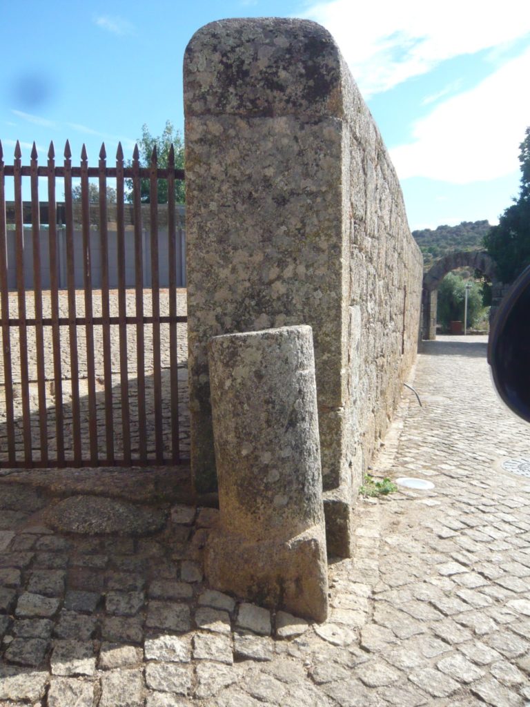
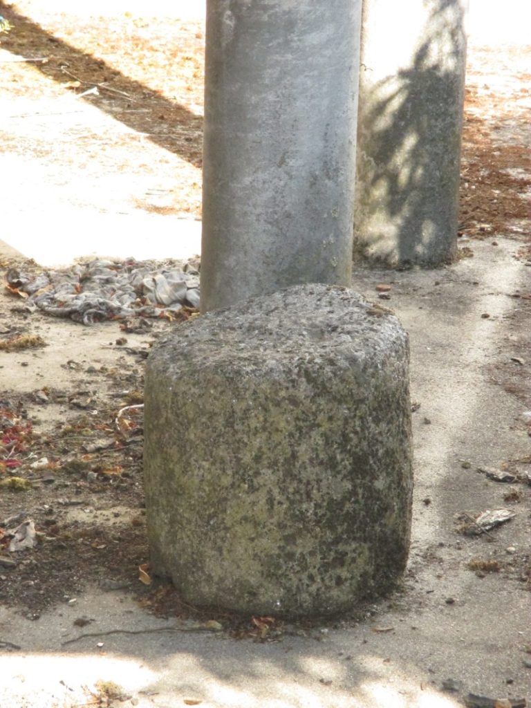
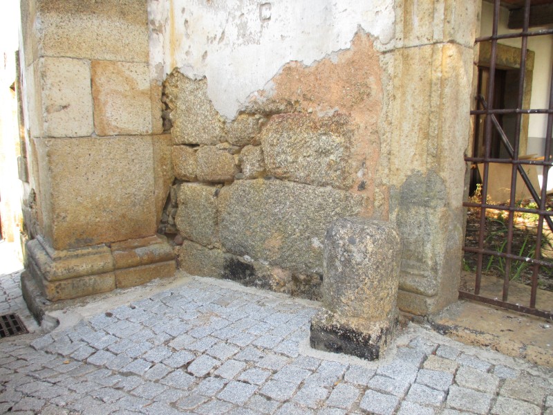
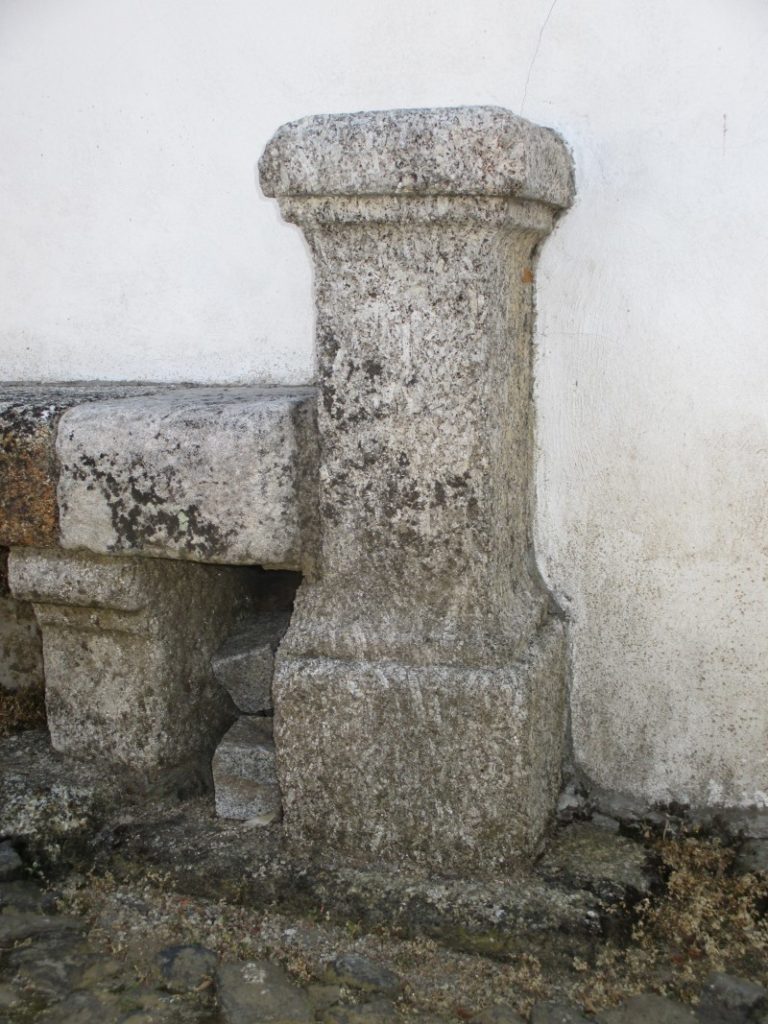
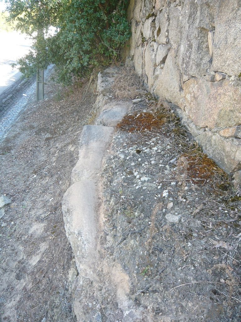
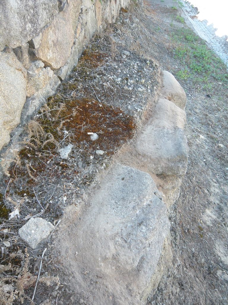
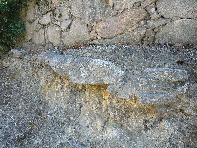
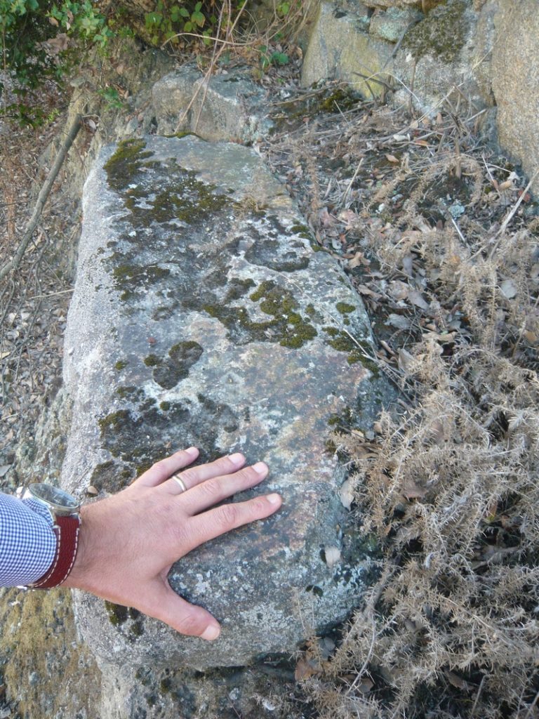
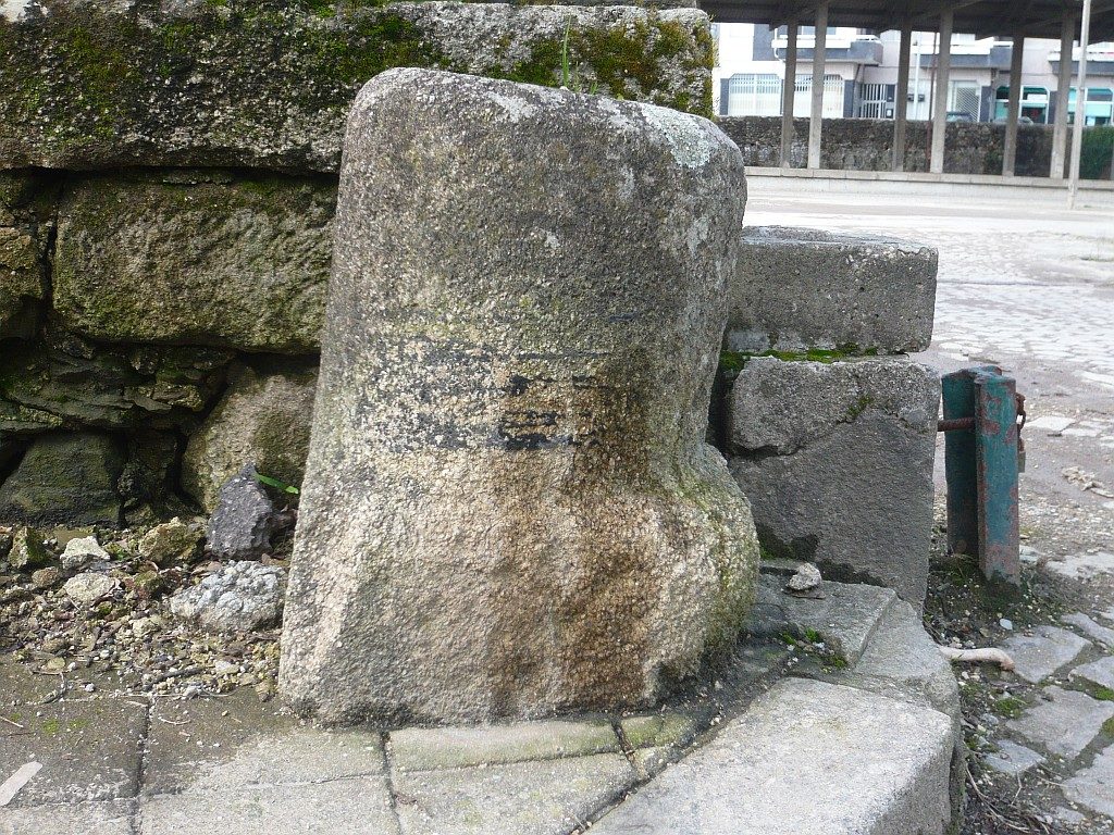
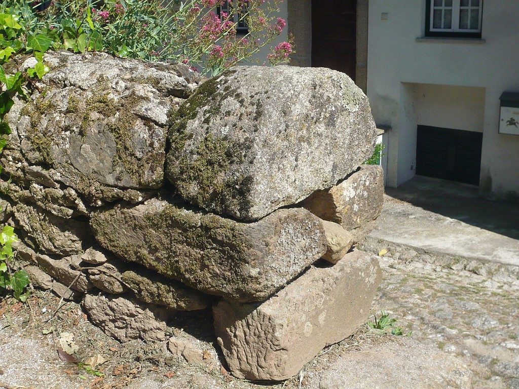
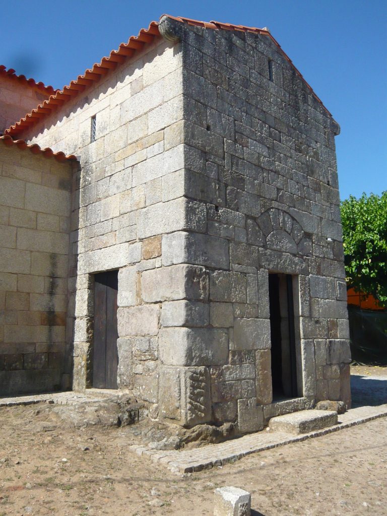
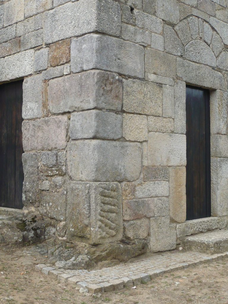
Milestone at the southern entrance 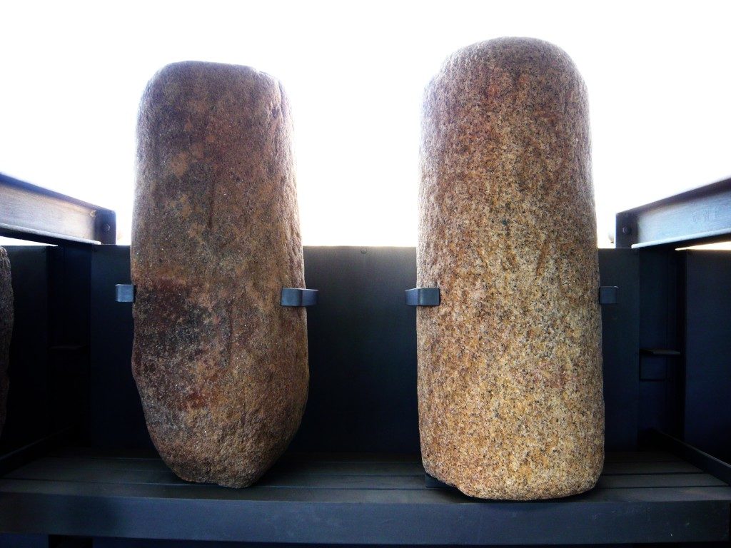
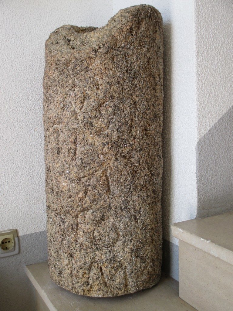
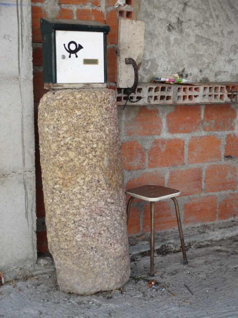
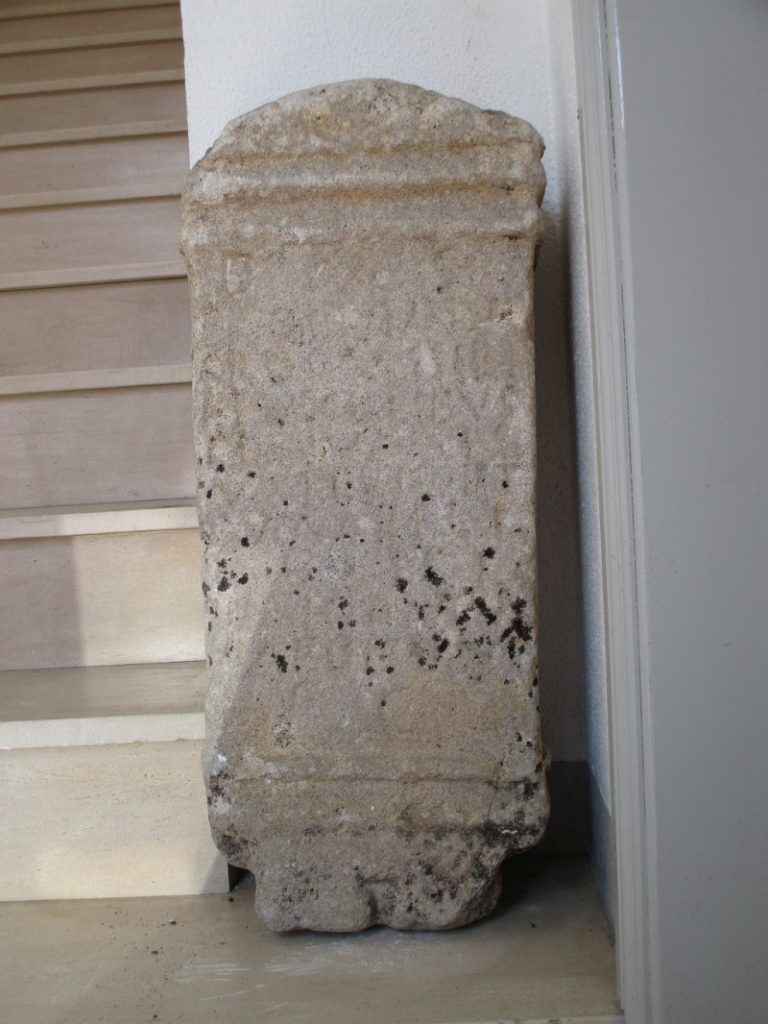
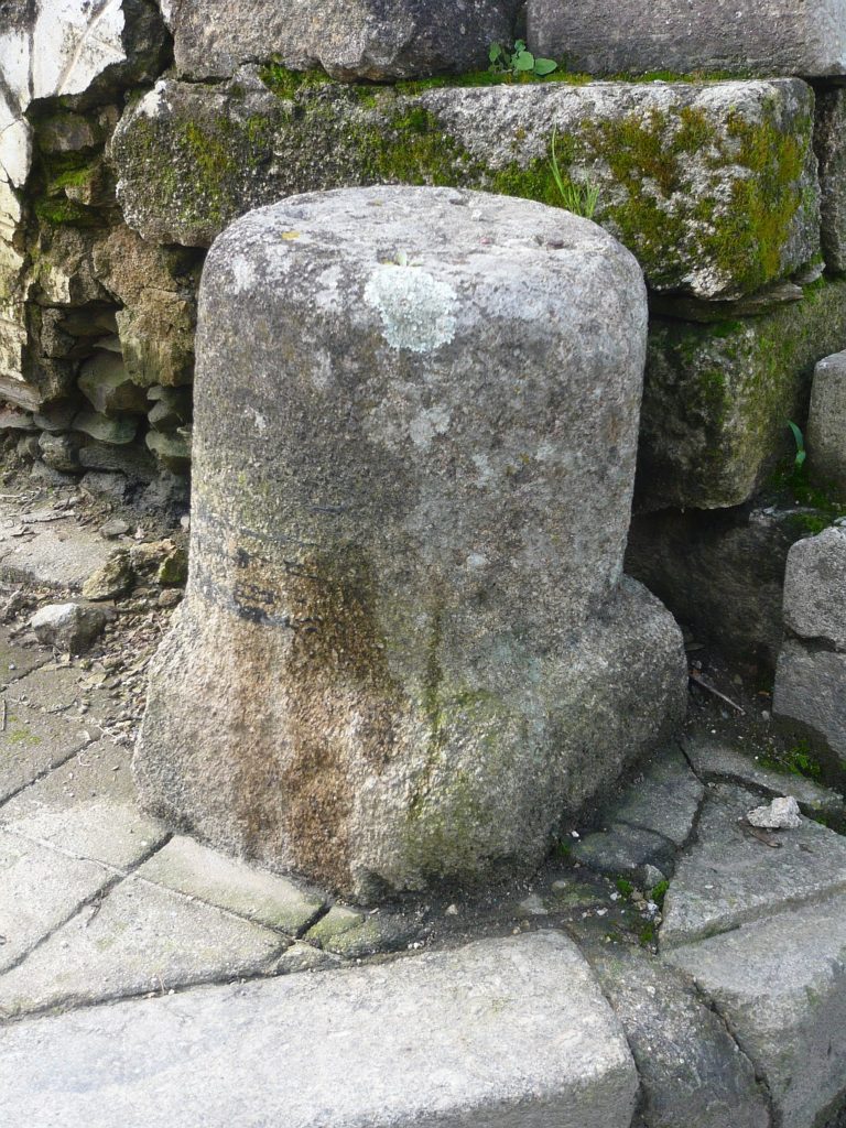
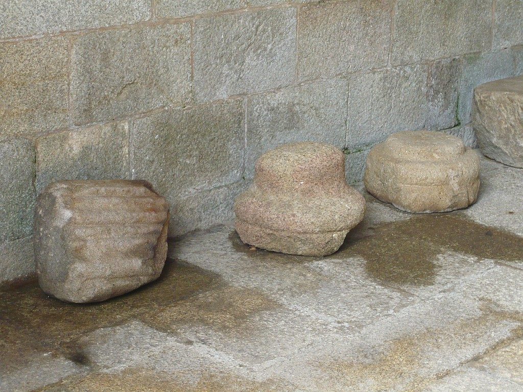
Epigraphical Museum @ Idanha-a-Velha
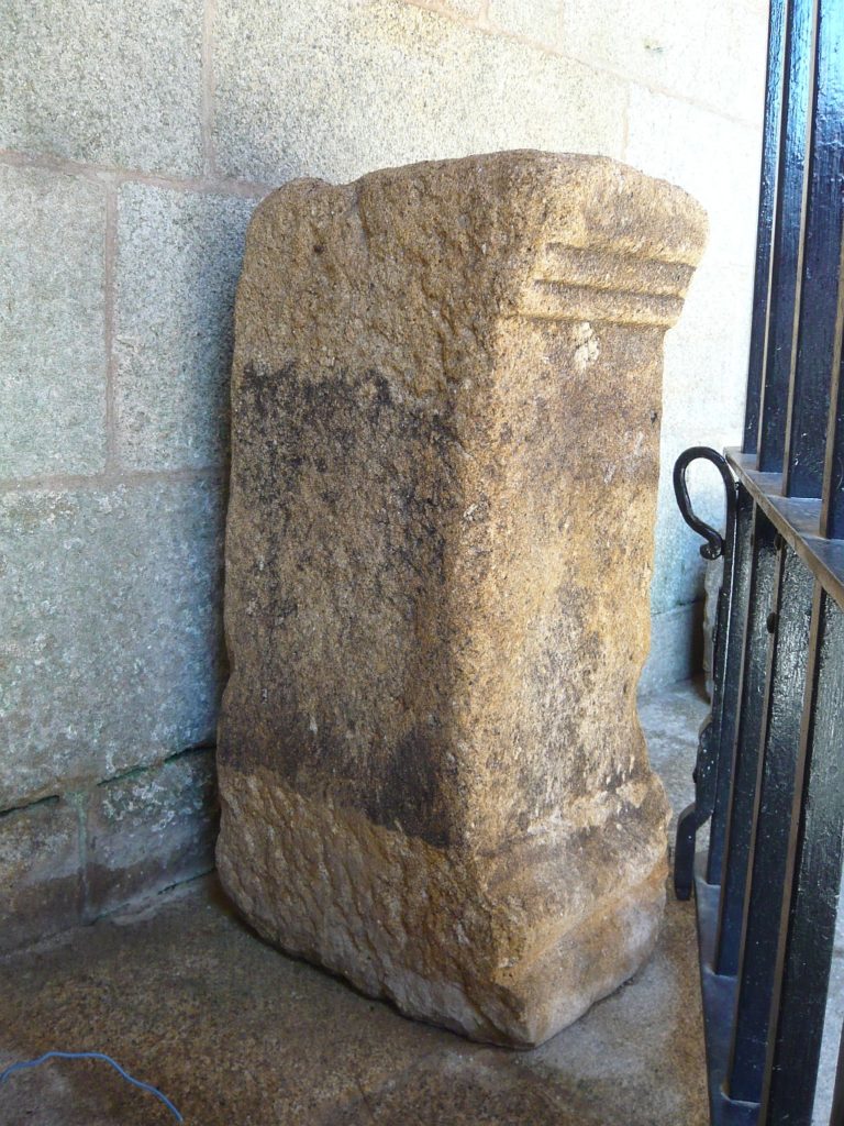
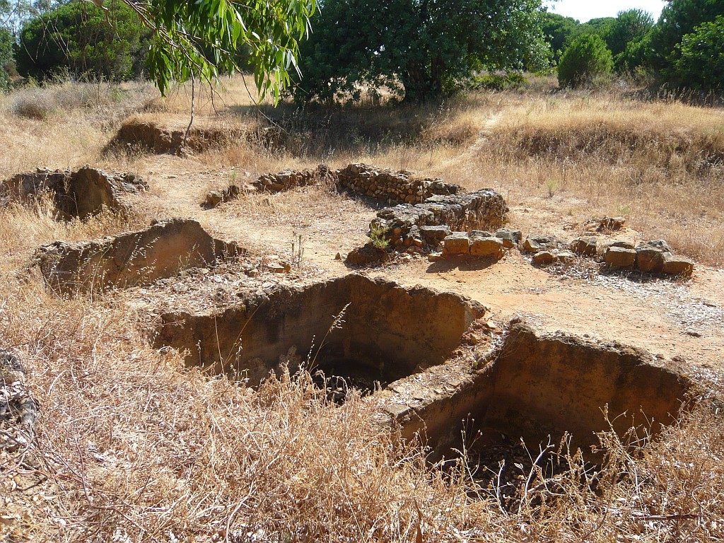
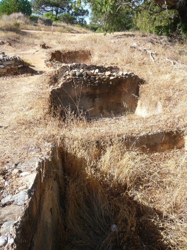
There are three milestone in the village of Idanha-a-Velha, ancient Igaedis or Igaeditana. Two at the Epigraphical Museum and both came from Alcafozes; the third milestone without inscription is placed next to the Visigothic Church at the southern gate of the ancient city.