(Originally published on January 12, 2015)
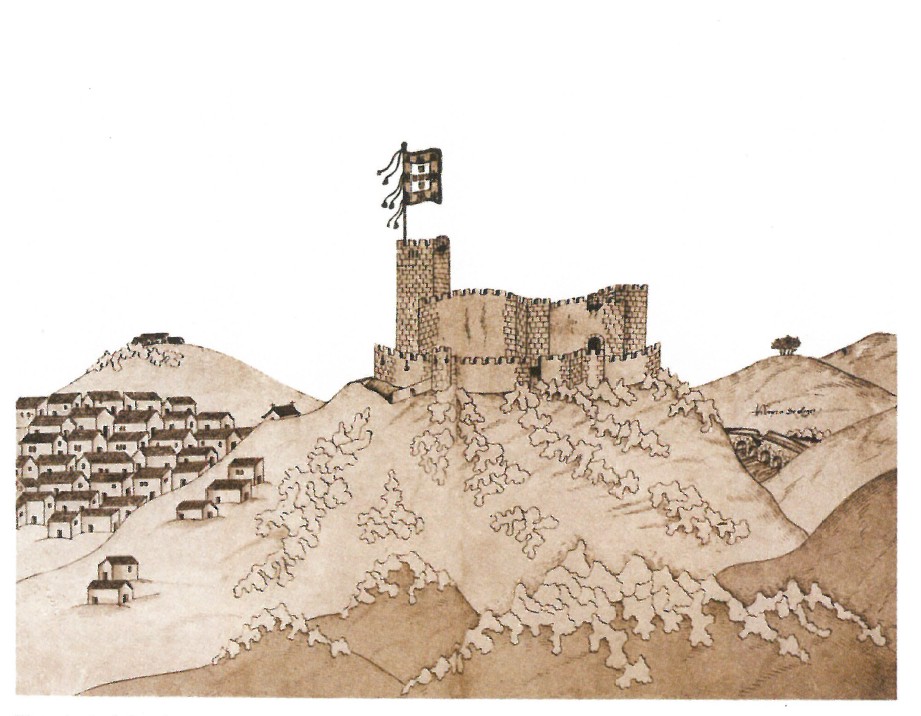
Segura in 1510 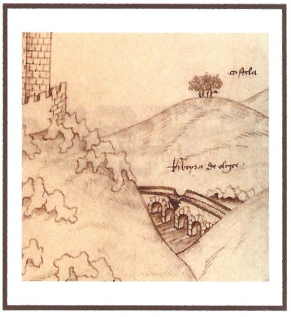
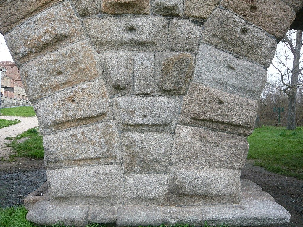
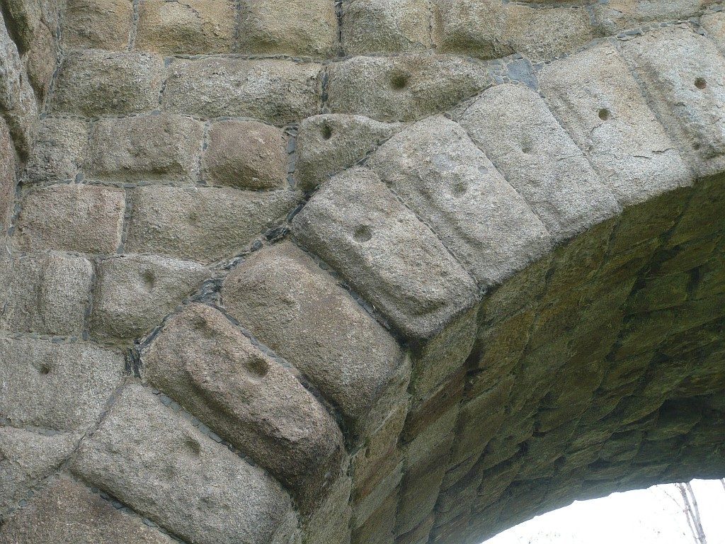
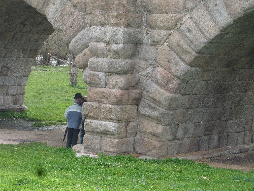
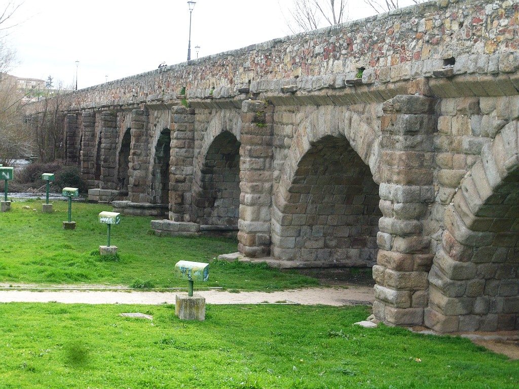
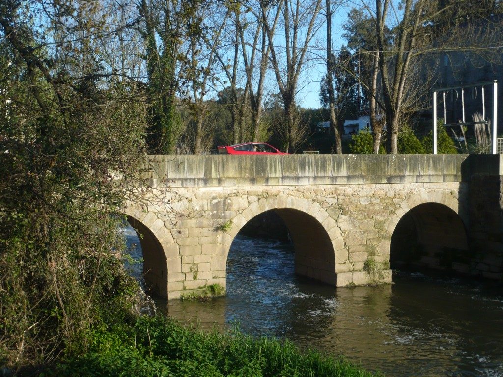
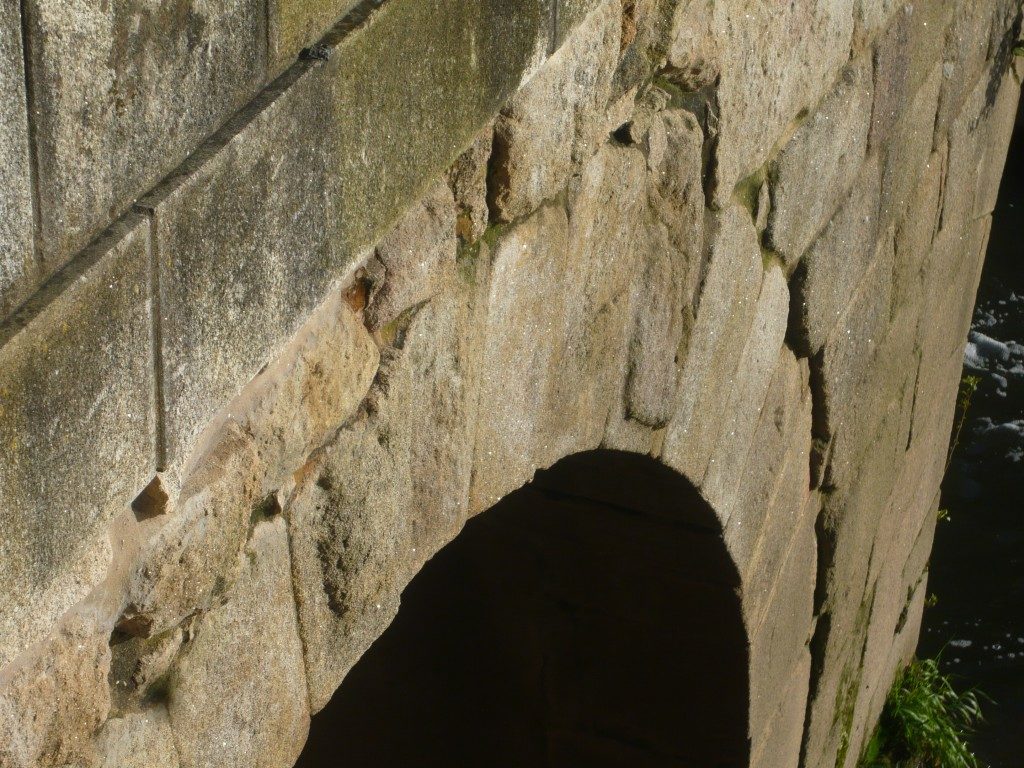
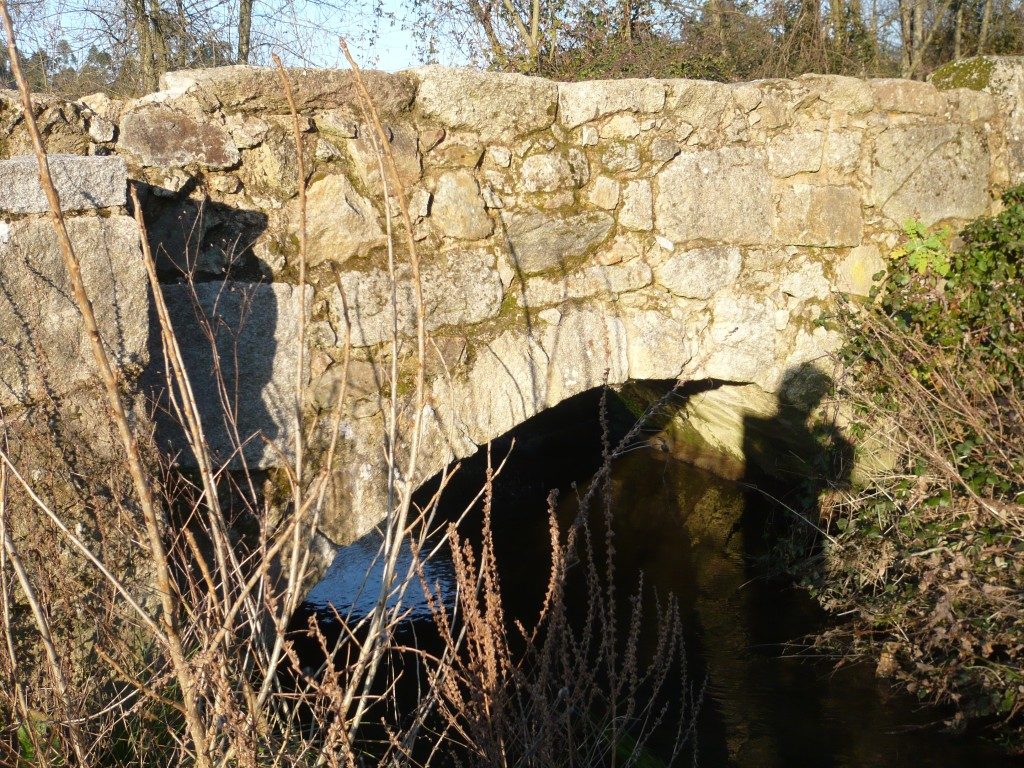
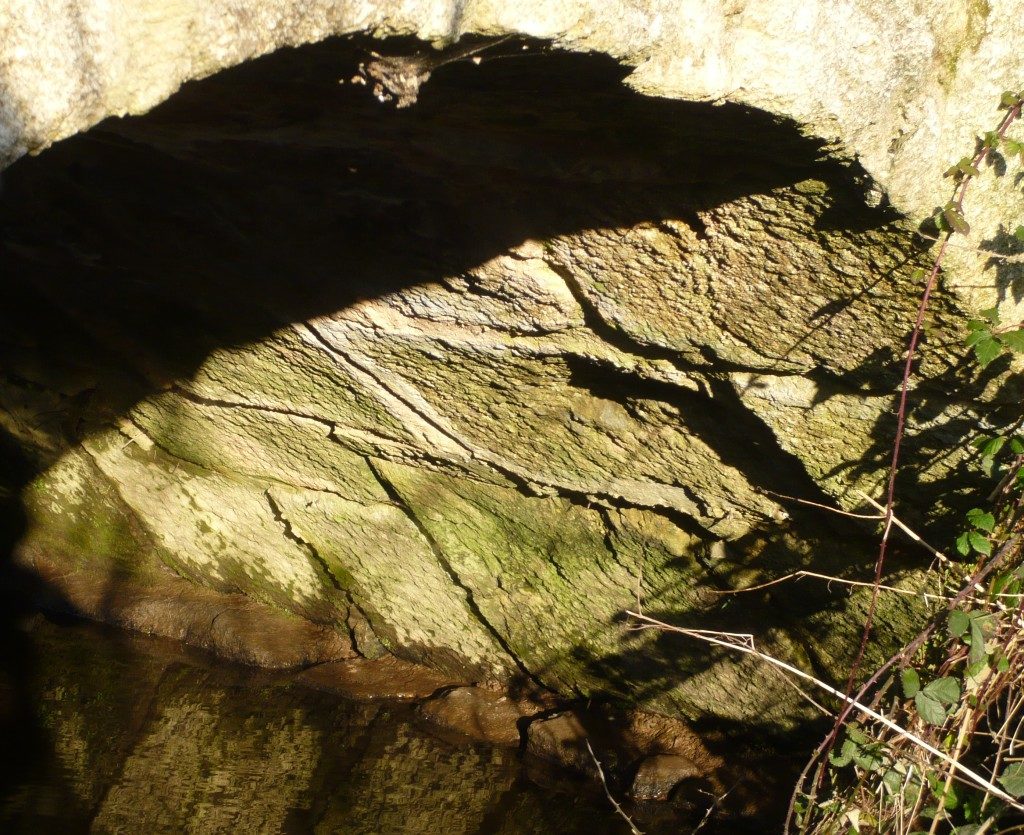
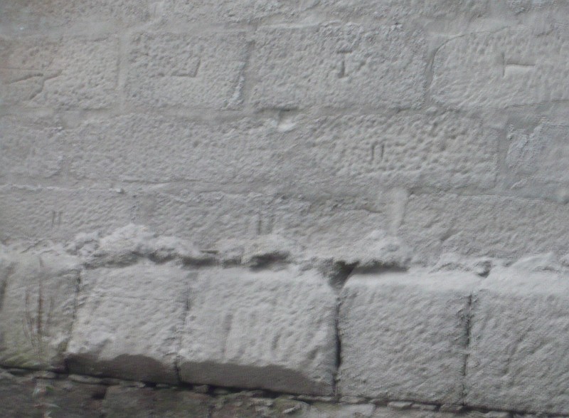
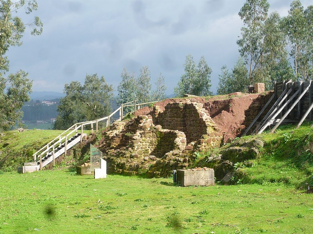
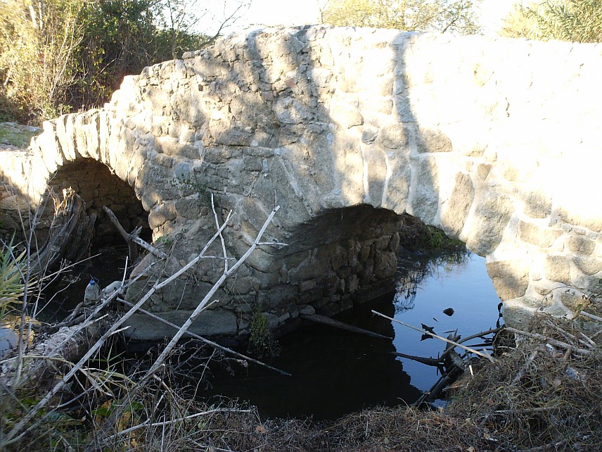
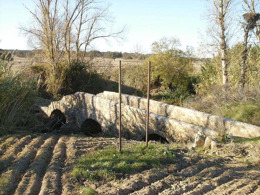
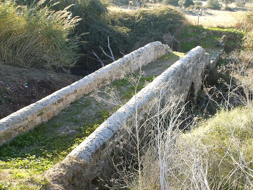
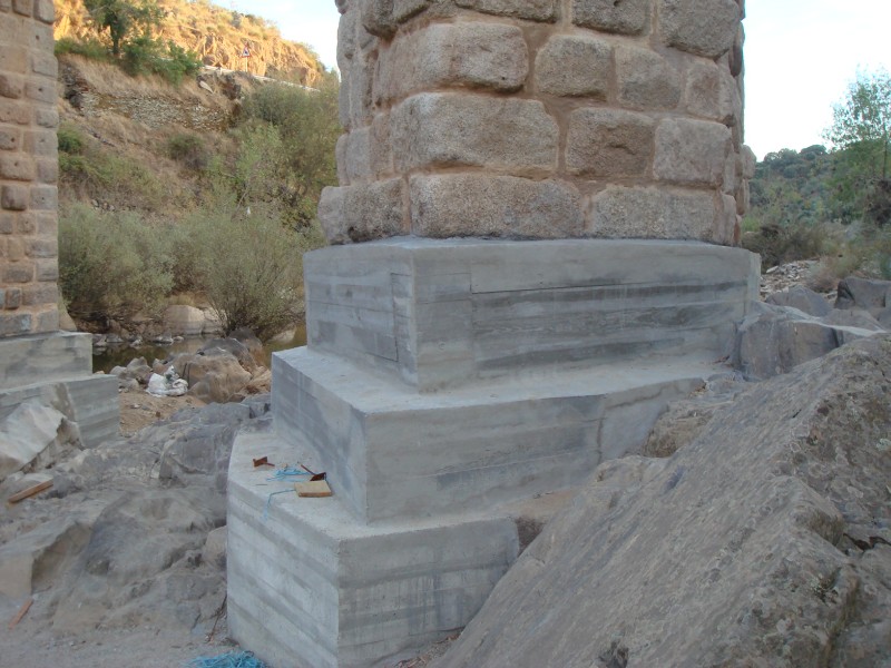
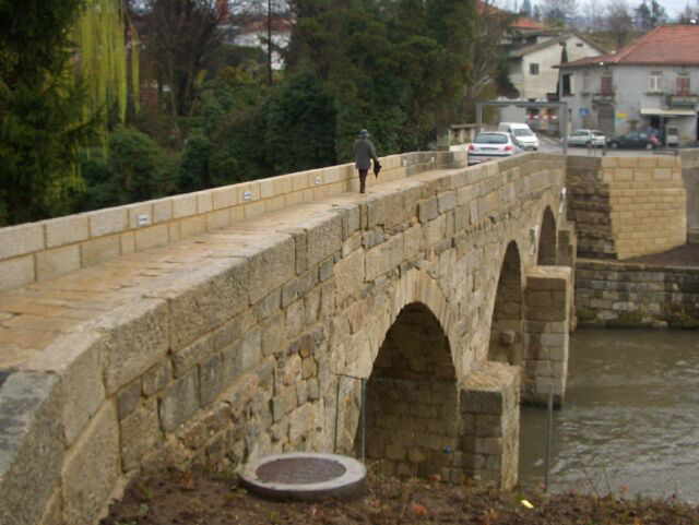
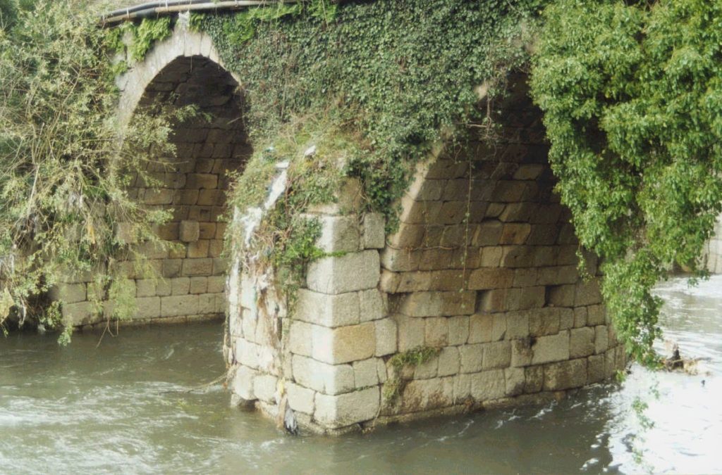
Detail of the Roman Bridge
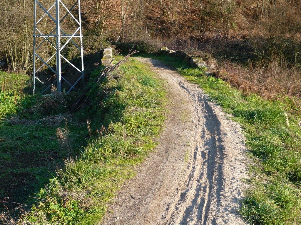
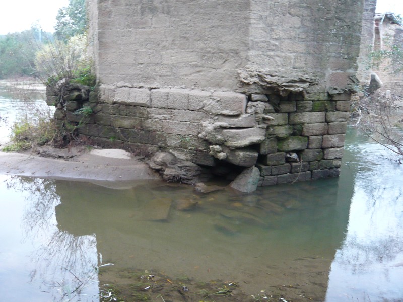
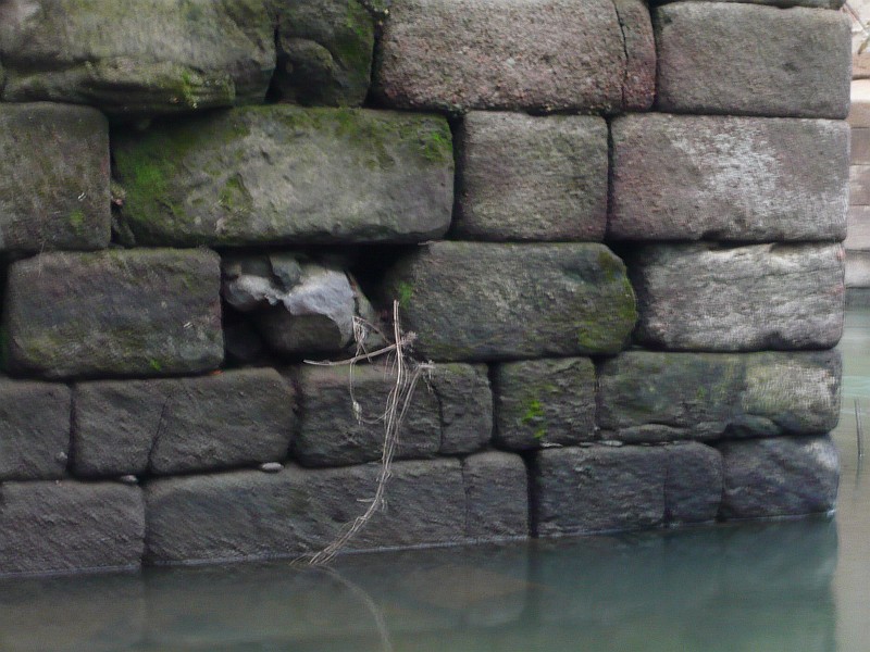
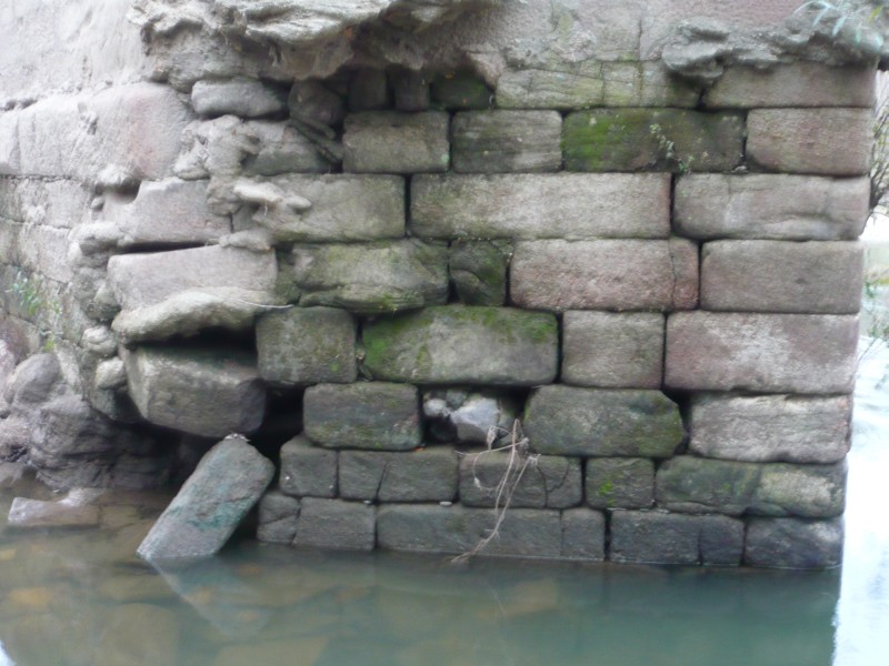
In 1509, King Manuel I commissioned his squire Duarte d’Armas to survey the state of 56 border fortifications in the kingdom, a work that was to be completed in 1510 and which resulted in a manuscript known as the “Book of Fortresses” (“Livro das Fortalezas”). This work shows illustrations of the main castles that defended the integrity of the national territory. In the illustration referring to the Castle of Segura, Duarte d’Armas represented the old Roman bridge over the Erges river in detail showing the semi-destroyed central arch, clearly showing that the bridge was unusable in the 16th century. This arch was later repaired and still today we can see a larger central arch much bigger that the rest. It is the oldest known representation of this important Roman work (so forgotten in current tourist itineraries) and therefore a document of the utmost importance. Coordinates: 39.817403, -6.981816
Images from the book “Castelos Templários Raianos: Castelos de Portugal”. Templar Days of Penha Garcia, August 2013. Authoring and Coordination: Colonel Dr. António Pires Nunes.
Edition: Câmara Municipal de Idanha-a-Nova