Category Archives: Routes

Roman road in «Ammaia»

(Originally published on November, 2012)

A stretch of the road in Carris. Vestiges of the pavement.

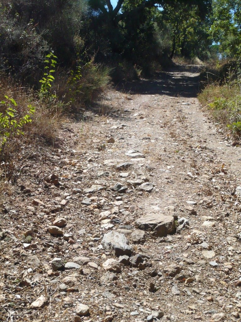
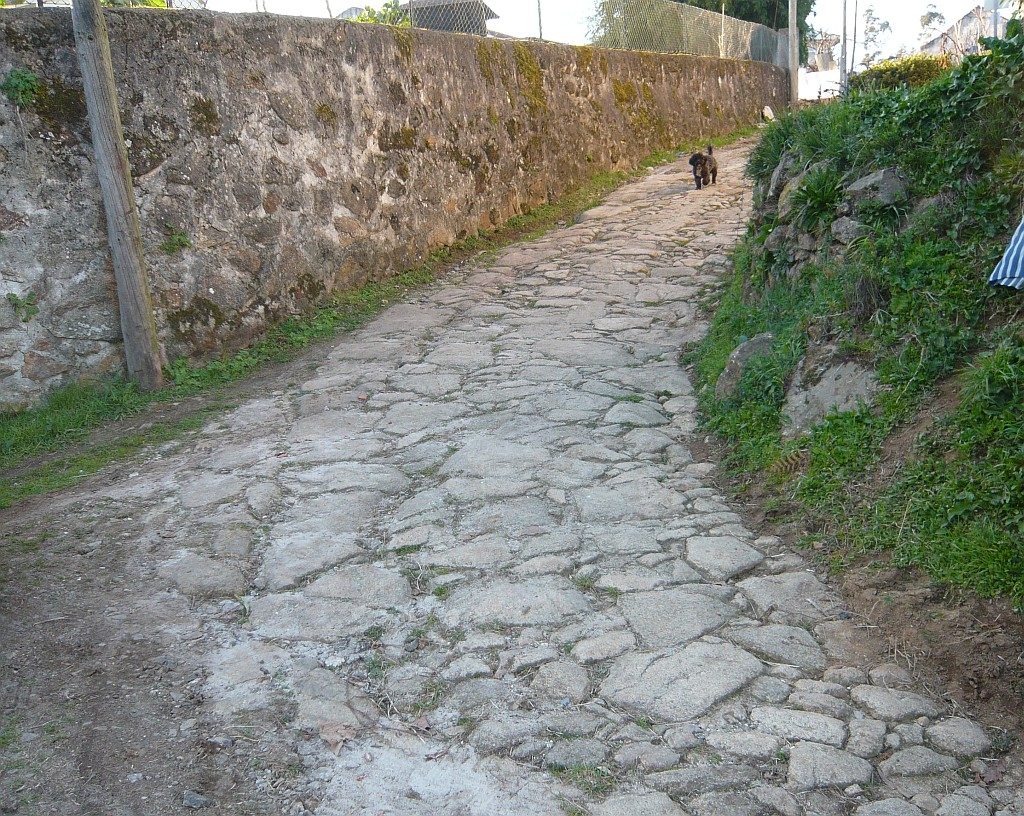
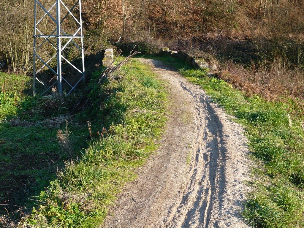
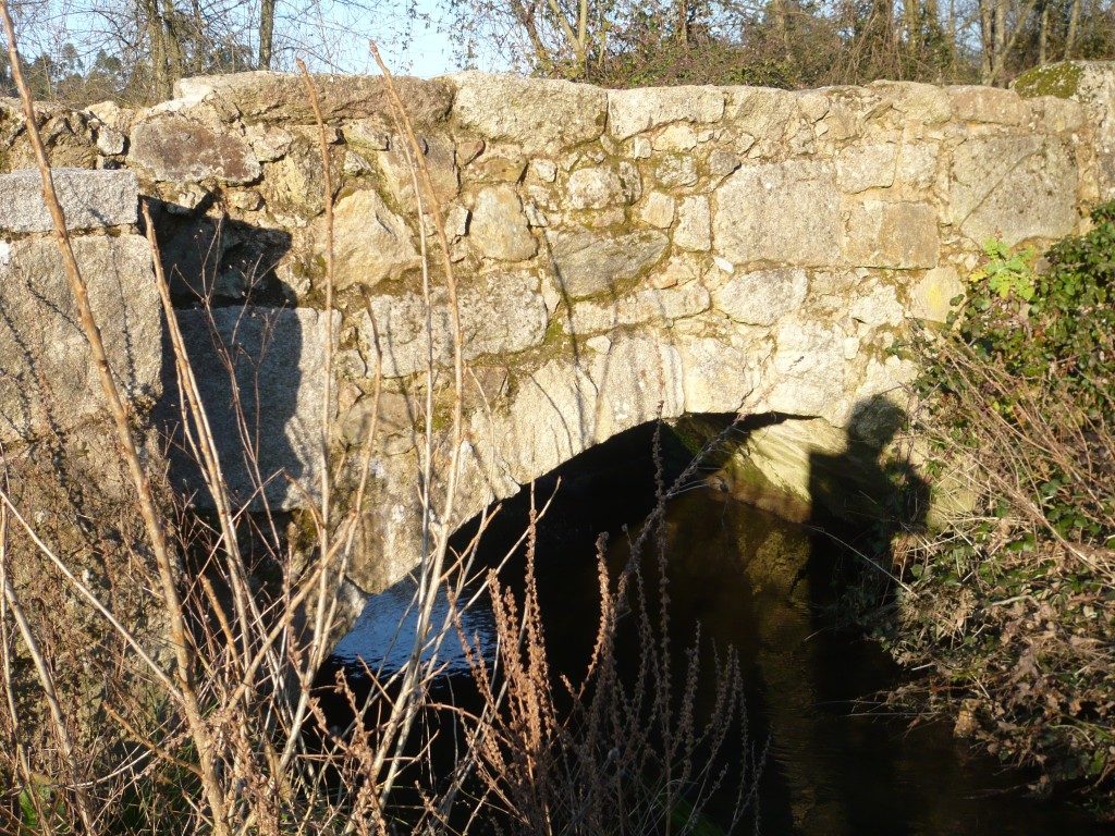
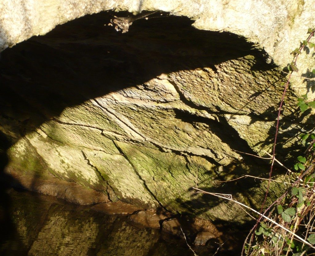
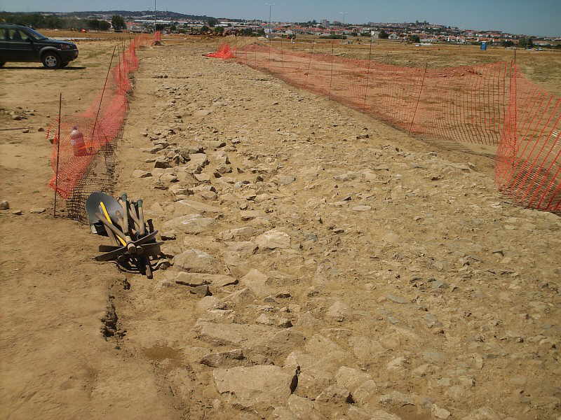
One of the Roman roads that departed from the Roman city of Ammaia (S. Salvador de Aramenha, Marvão) crossed the Roman Bridge of the Madalena and went uphill along this stretch of the road in a site called «Carris». This route continues for a few kilometres until it meets the modern road EN359, perhaps with continuation towards Évora through Portalegre. Coordinates: 39.354269,-7.401371

vide route here – http://viasromanas.pt/#ammaia_evora

Roçadas bridge

(Originally published on March 16, 2012)

This bridge is located in the place of Roçadas in Argoncilhe (Santa Maria da Feira). It was probably on the route connecting Cale (Porto) to Vissaium (Viseu). its present form is a rough construction not that all, but given its integration in this ancient path, it origins could be much older. An old section of the road can still be seem next to the bridge. Coordinates: 41.025388, -8.520372

vide route here – http://viasromanas.pt/#porto_viseu

Roman road section found in Évora

(Originally published on June 23, 2009)

A section of the Roman road that passed by the Évora aerodrome was discovered due to the works of the future Aeronautical Industry Park. Although the passage of a Roman road in this area was already known, following the crossing of the river Xarrama in the Old Bridge of Xarrama, this discovery clarifies the exact layout of the road. As this section is just outside the city, hopefully this time the road will be properly kept in tow of the important necropolis discovered there. This section would be part of Antonino’s Itinerary XXI, linking Ebora with Pace Julia (now Beja), passing the Serpa, Arucci and Fines stations for which there are no defined locations yet. It is assumed, however, that this road would go in the direction of Portel and Moura, continuing later by Serpa until Beja.

vide route here – https://viasromanas.pt/#evora_serpa