Milestones at Segura

(Originally published on November 15, 2013)

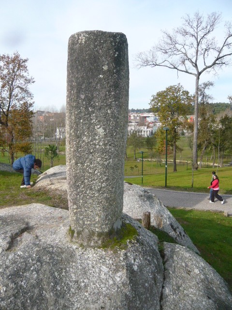
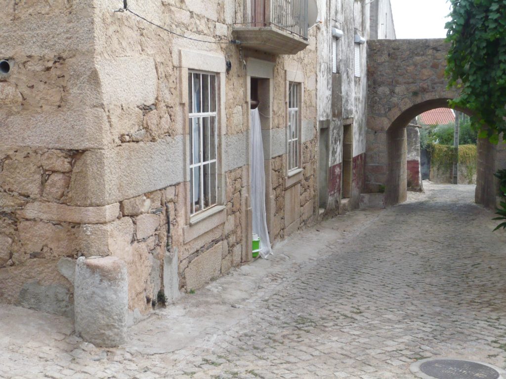
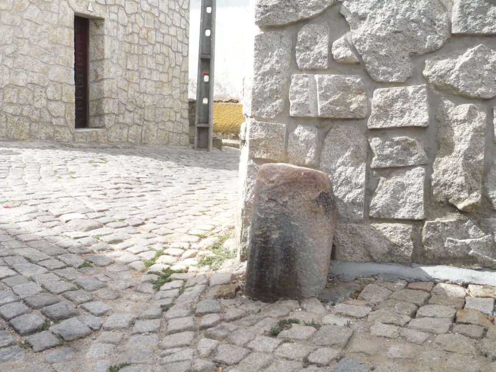
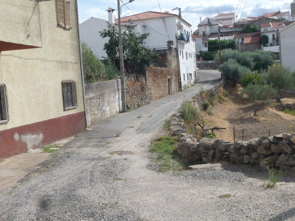
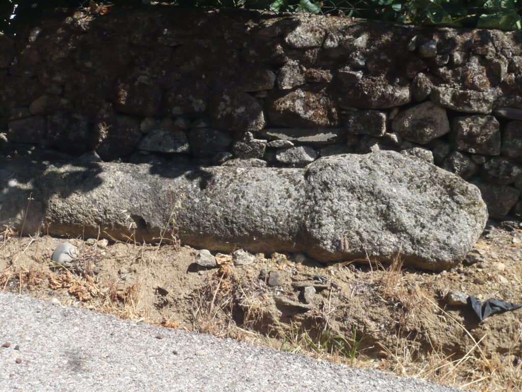
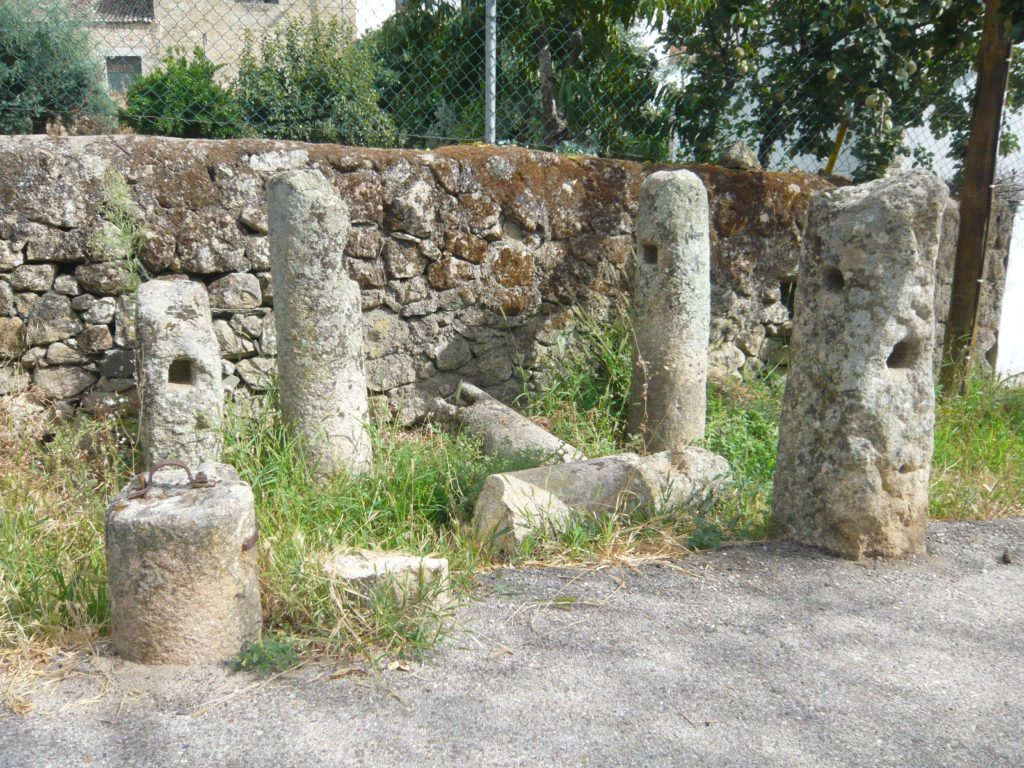
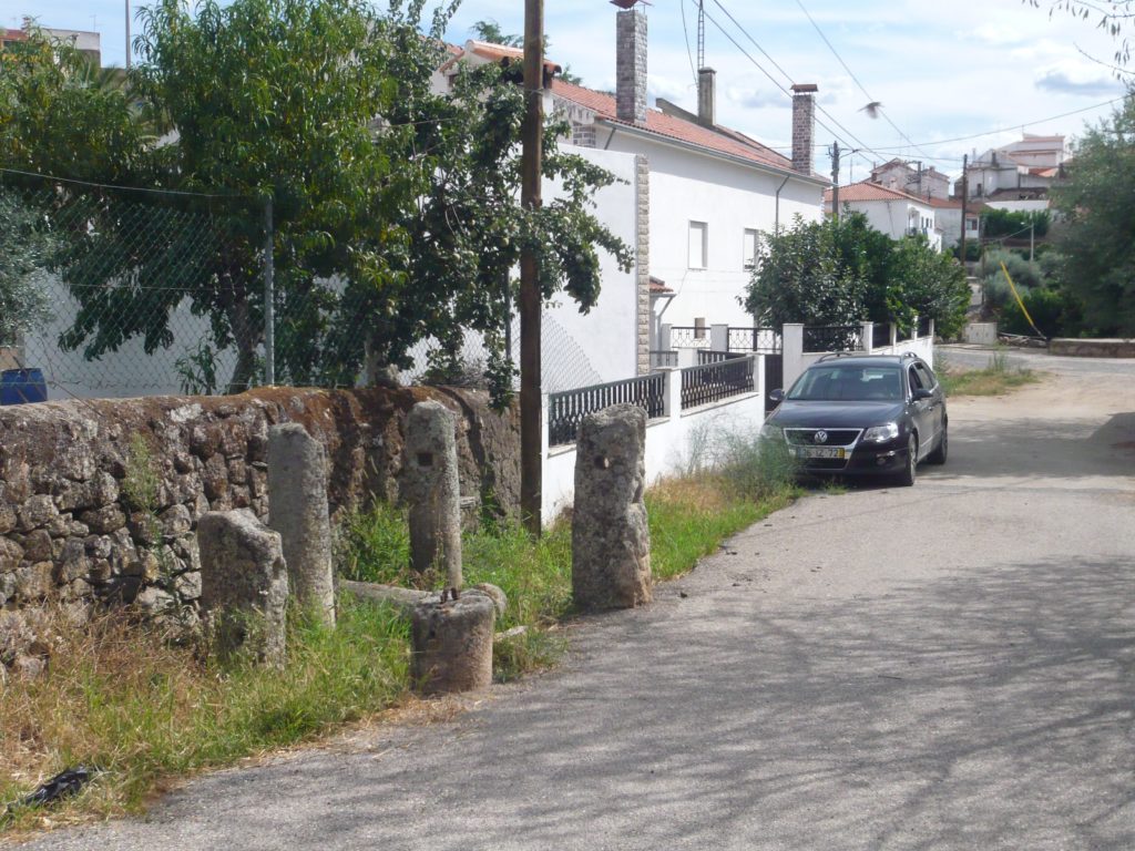
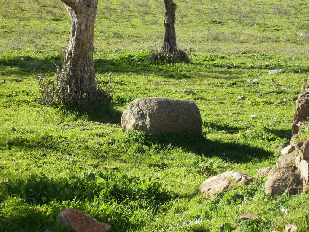
In the village of Segura (Idanha-a-Nova) there are several columns scattered around the village that may be milestones of the Roman road that passed through here to Merida. Within the village there are two small columns and at least one of them (near the South Gate) has the typical dimensions of these monuments. Leaving the village to the north via the Roman road that passes at the base of the Calvary hill, there are several columns at the side of the road and some tens of meters later another set of these columns showing signs of reuse as they present an orifice at the top and signs of being re-shaped; at least some of them are certainly milestones since they have the typical quadrangular base, an indicative feature that these columns were meant to be buried. These milestones are still unpublished so I can’t say anything more about their provenance , their reuse or why were they gathered here. Probably they will disappear soon due to their state of neglect. For when the appreciation of this important monuments?

Possible milestone lying down on the side of the road (note the square-shape base)

vide route here – http://viasromanas.pt/#idanha_merida

Roman road in «Ammaia»

(Originally published on November, 2012)

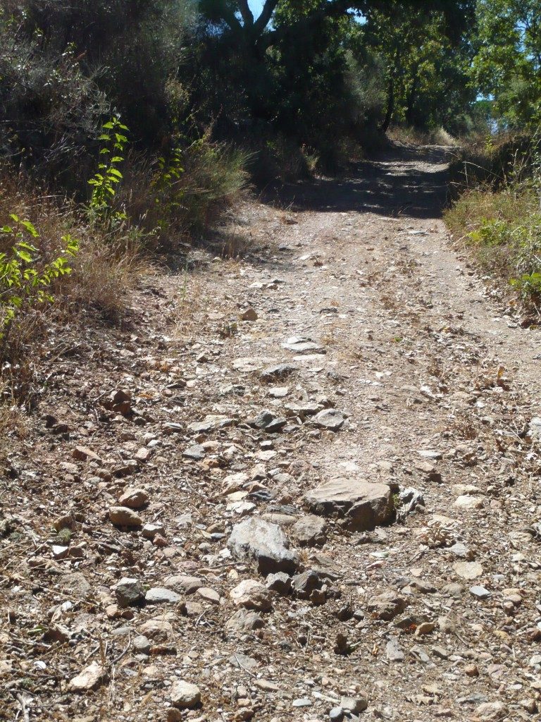
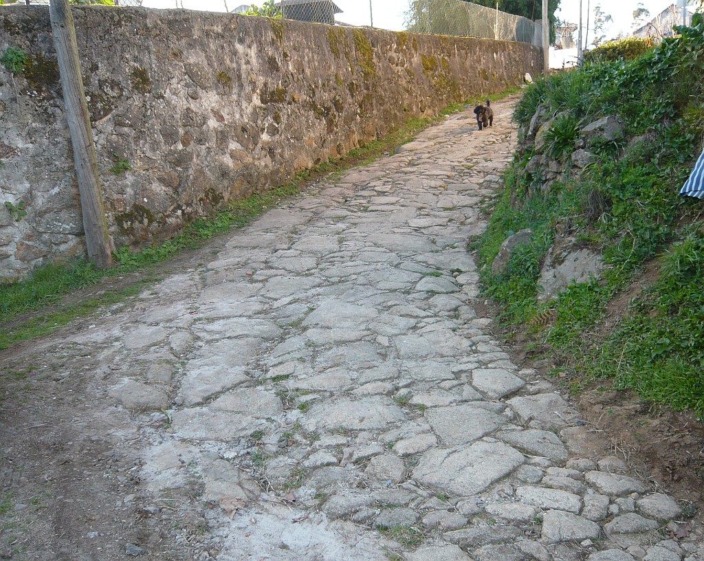
A stretch of the road in Carris. Vestiges of the pavement.

One of the Roman roads that departed from the Roman city of Ammaia (S. Salvador de Aramenha, Marvão) crossed the Roman Bridge of the Madalena and went uphill along this stretch of the road in a site called «Carris». This route continues for a few kilometres until it meets the modern road EN359, perhaps with continuation towards Évora through Portalegre. Coordinates: 39.354269,-7.401371

vide route here – http://viasromanas.pt/#ammaia_evora

Segovia aqueduct

(Originally published on March 16, 2012)

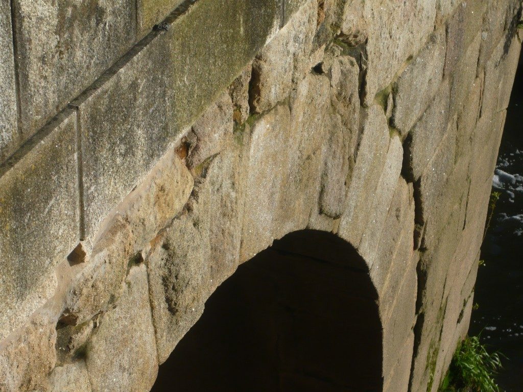
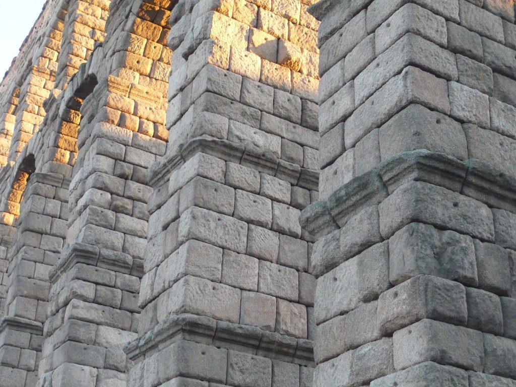
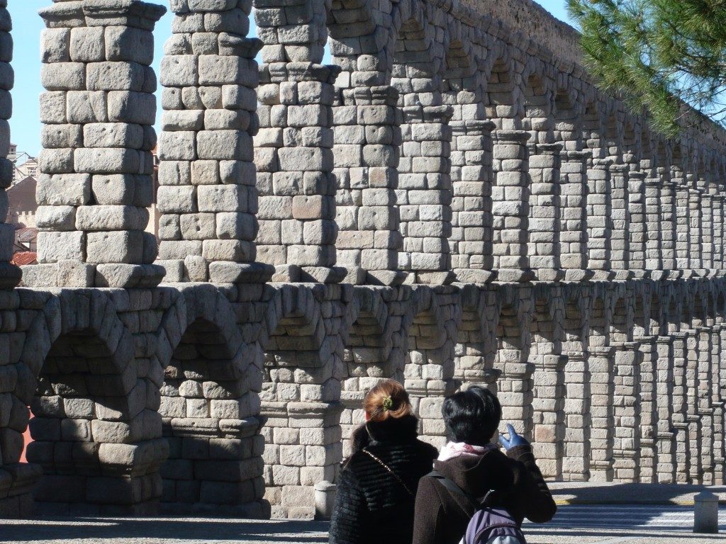
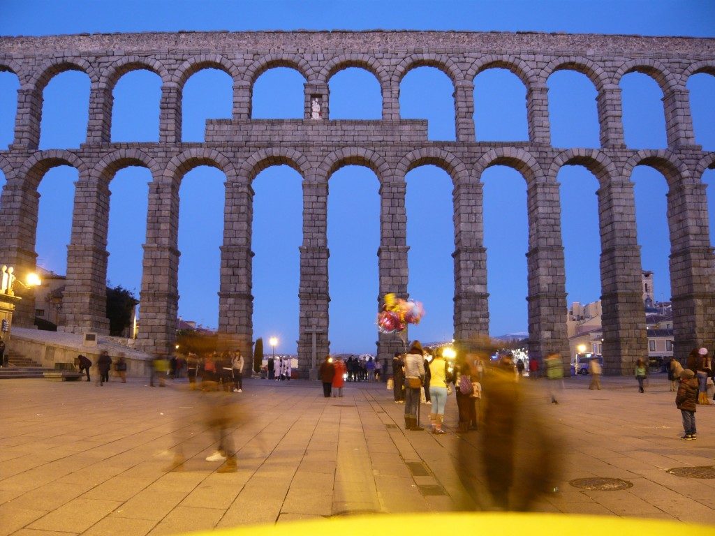
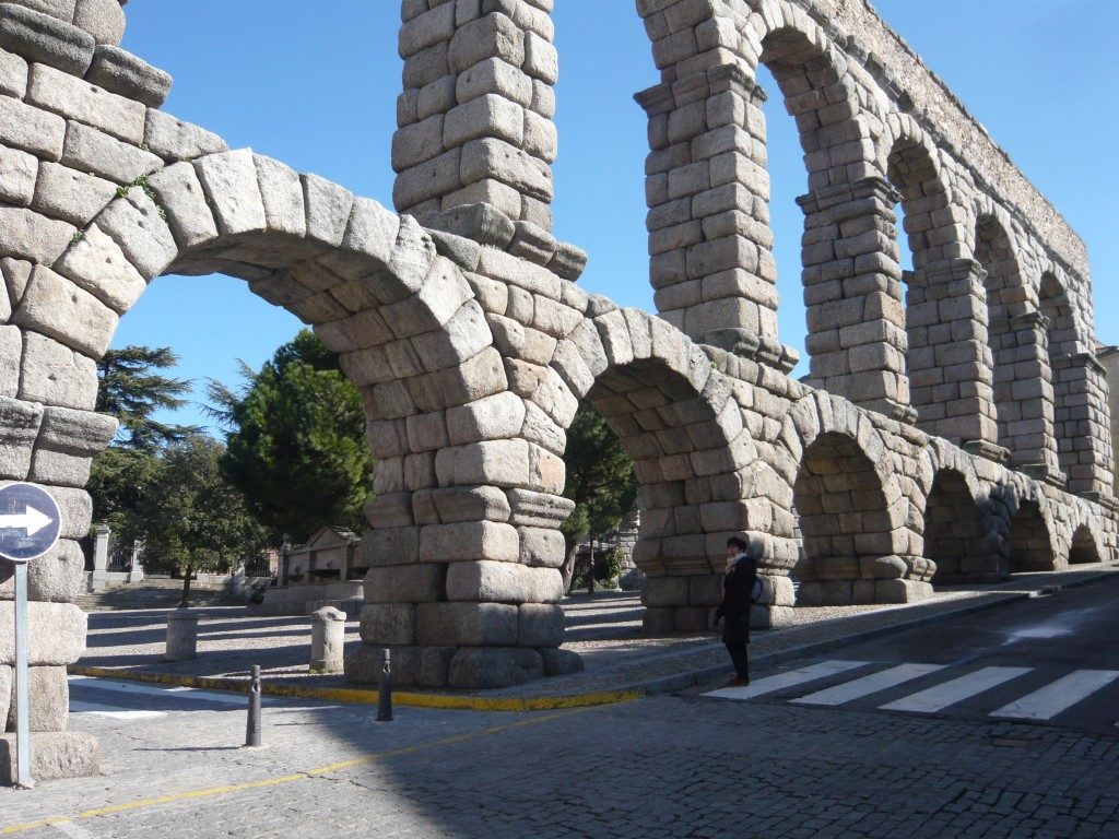
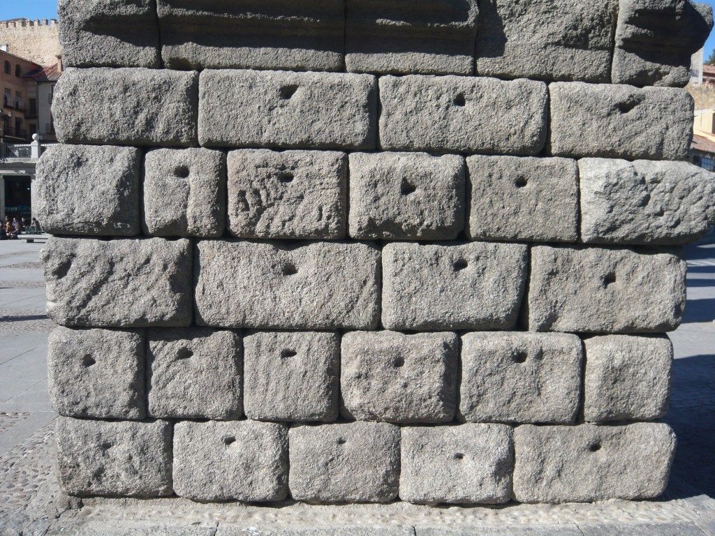
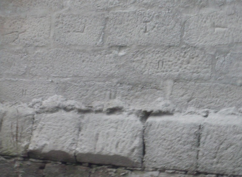
Pictures I took of the famous Segovia aqueduct, one of the great works of Roman engineering that has survived to this day. Note the absence of mortars between blocks and the markings of forfex confirming the use of machinery for lifting and positioning the various building elements. Another Roman construction that has been challenges the passage of time for centuries.

Roçadas bridge

(Originally published on March 16, 2012)

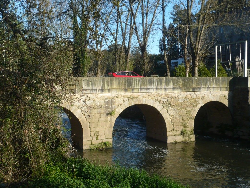
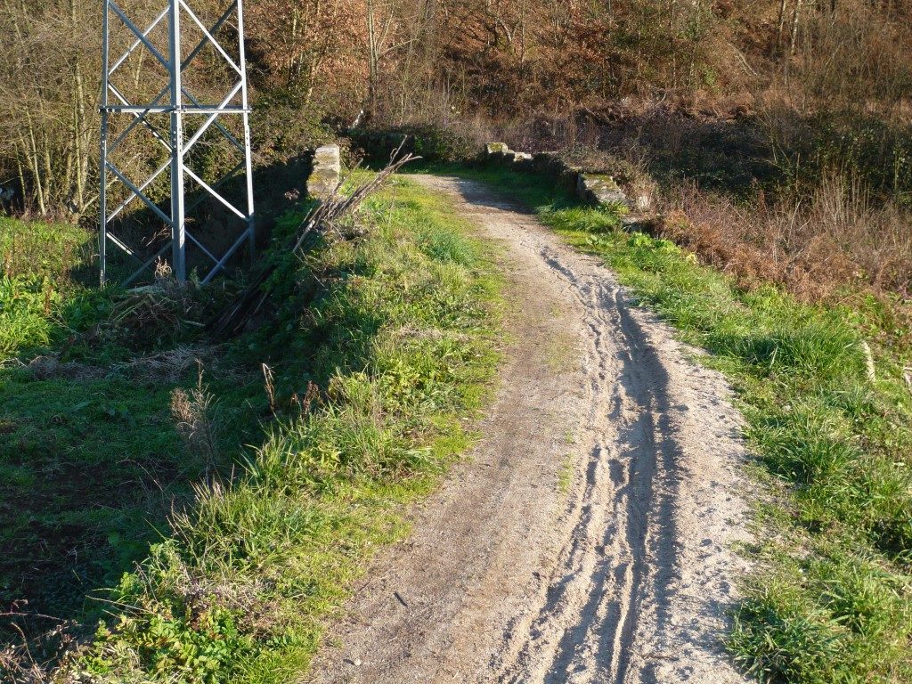
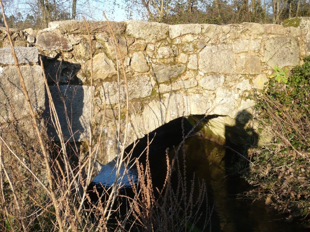
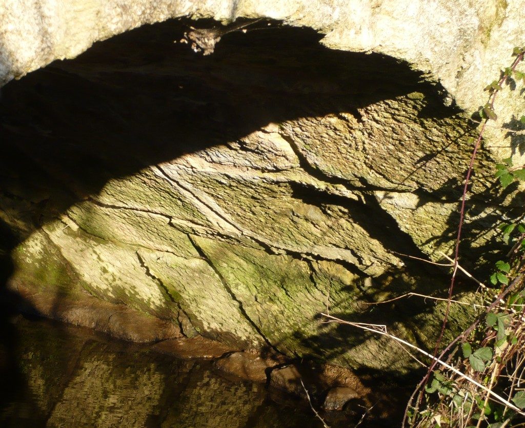
This bridge is located in the place of Roçadas in Argoncilhe (Santa Maria da Feira). It was probably on the route connecting Cale (Porto) to Vissaium (Viseu). its present form is a rough construction not that all, but given its integration in this ancient path, it origins could be much older. An old section of the road can still be seem next to the bridge. Coordinates: 41.025388, -8.520372

vide route here – http://viasromanas.pt/#porto_viseu

Milestone in the Chapel of St. Brissos

(Originally published on January 6, 2012)

Picture of a milestone that is today next to Chapel of St. Brissos (Santiago do Escoural, Montemor-o-Novo). It is likely that this milestone was displaced from the Roman road between Alcácer do Sal and Évora on the route to Mérida, which ran a little further south but it could be signalling another still unknown route. Photo kindly sent by Paulo Manços. Coordinates: 38.526076,-8.102848

The ancient bridge over the Vouga river

(Originally published on December 5, 2011)

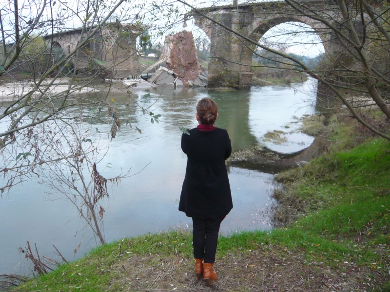
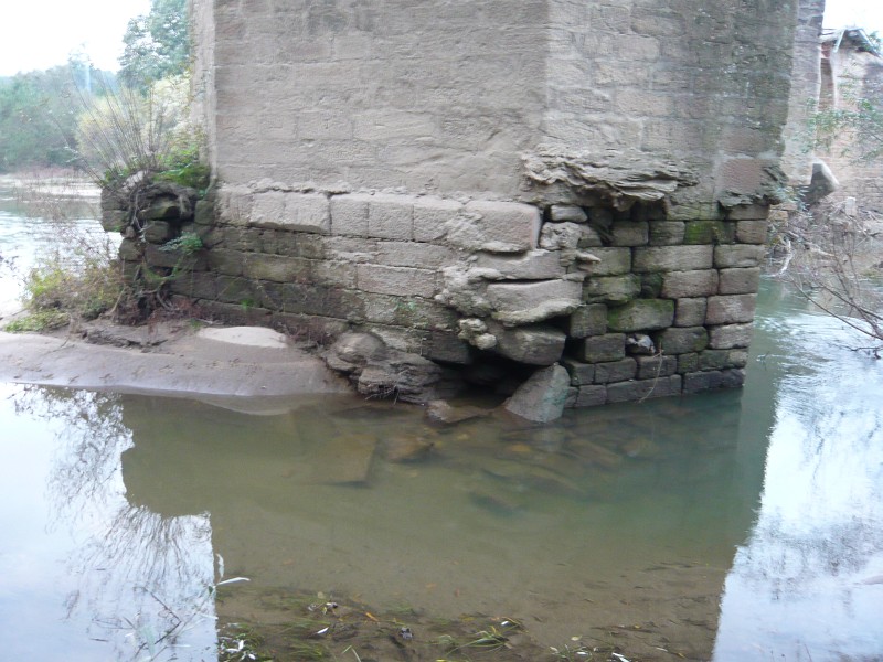
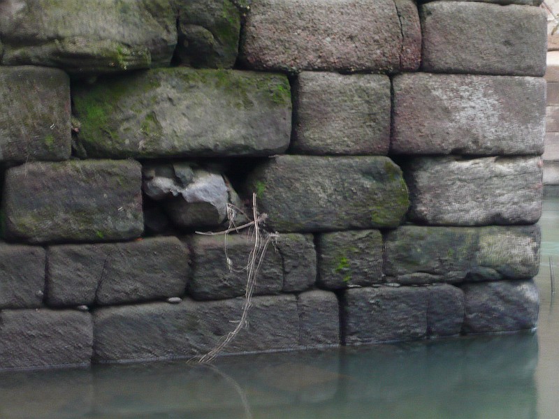
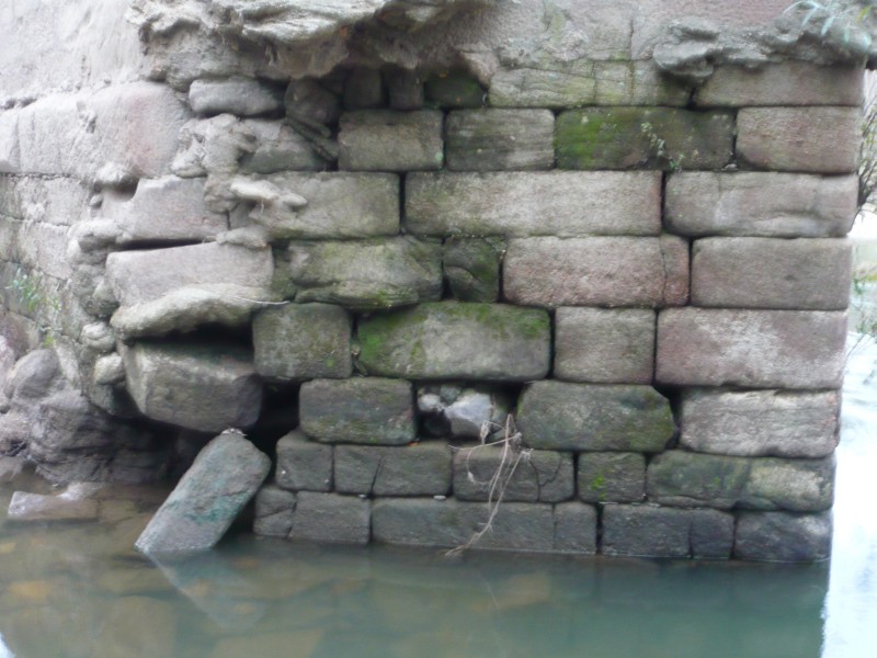
The fall of the Vouga Bridge on November 12 2011 was not a surprise due to the advanced state of degradation of the bridge’s pillars. What is surprising is the willingness of the municipality to demolish the bridge (!), a decision that I hope will be overturned because this bridge has a great patrimonial value that cannot be obliterated. The current bridge is the result of successive repairs, the last one was its enlargement in the 1930s to adapt it to modern traffic. We know that its construction was ordered by D. João III in 1529 and that it was repaired in 1713 by order of D. João V given to the bridge its current configuration. In fact the current bridge was built on the structure of an earlier medieval bridge from which the pillars and arches are still visible, as can be seen in the picture above. Coordinates: 40.640735,-8.465931

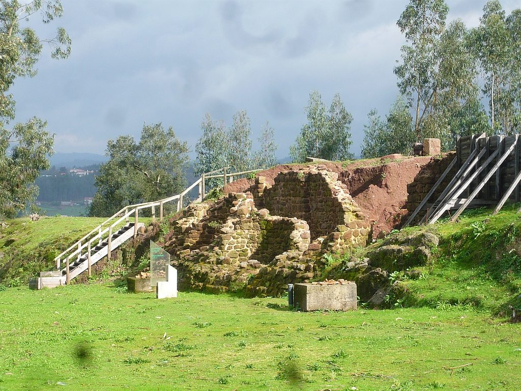
The existence here of an early Roman construction is plausible because this was the crossing point of the main road connecting Bracara Augusta (Braga) to Olisipo (Lisbon). In fact, on a hilltop overlooking this passage there’s an important archaeological site known as «Cabeço do Vouga» where we can see a strong Roman construction built over a pre-Roman settlement. This could be the location of Talabriga, a road station mentioned in Anthony’s Itinerary. Coordinates: 40.637037, -8.463959

«Diplomata et Chartae» – early medieval docs

(Originally published on November 18, 2011)

The Diplomata et Chartae is a compilation of documents from the 9th to the 12th centuries collected in abbeys and monasteries’ libraries. These are mainly legal documents stating the agreement established between parts. These documents were organised by Portuguese writer Alexandre Herculano and later published by the Royal Academy of Sciences of Lisbon between 1856 and 1888 in a four volume work entitled the «Portugaliae Monumenta Historica», containing many of the extant medieval manuscripts. Mostly are property selling or donation, as back then all notary acts were performed by the church. These properties were commonly delimited by ancient public roads that are referred in the documents with names such as «via publica», «karraria antiqua», or «Moorish roads». These designations clearly indicates that they were already used for many centuries before, eventually since Roman times. Given that few roads were built from the late Roman period to the ninth century, it is very likely that these are in fact references to roads already operational during Roman times, turning these documents an important source of information for the study of the Roman network.

More information on http://viasromanas.pt/vrinfo.html#diplomata

Milestones at Viana do Castelo

(Originally published on November 9, 2011)

This set of 5 milestones belonging to the Roman road between Bracara Augusta (Braga) and Tuda (Tui) were found by the public road company «Estradas de Portugal» while doing rehabilitation works. They are now together on the new premises of the company on the number 1114 of the national road EN203 in Darque. It was time to return these “walking” milestones to their places of origin where they would be more valued more than on the grounds of a compound without public access. Coordinates: 41.681401, -8.770130

Milestone dedicated to Maximinus Daia found at «Monte da Gândara» (Sapardos, Vila Nova de Cerveira)
Milestone dedicated to Constantine I found in «Espinheiros» (Labruja, Ponte de Lima)
Possible milestone (no inscription nor square base) found in a site called «Lojas» next to the Roman road in Valença just before the crossing of the Minho river
Milestone perhaps dedicated to Magnentius found at «Freita» (Labruja, Ponte de Lima)
Milestone dedicated to Constantius I or II found in «Ranhadoura» (Sapardos, Vila Nova de Cerveira)

Bibliography: RODRIGUEZ COLMENERO, Antonio; FERRER SIERRA, Santiago; ÁLVAREZ ASOREY, Rubén D. (2004) – “Miliarios e outras inscricións viarias romanas no noroeste hispánico ”. Lugo: Consello da Cultura Galega. (available on this link)

vide route here – http://viasromanas.pt/#braga_tui

Milestone at Braga Cathedral

(Originally published on November 9, 2011)

Pictures of the milestone dedicated to Emperor Nerva on display on one of the entrances to the cloister of Braga’s Cathedral together with other Roman materials. This fragment was found in a farm called «Quinta do Outeiro» on the outskirts of the city in Frossos. The picture shows the lateral cut resulting from its reuse as a mill stone st the farm. The milestone was surely dislocated from its original position next to the Roman road connecting Bracara Augusta (Braga) to Tuda (Tui) and by its position it indicated 2 miles to Bracara Augusta.

vide route here – http://viasromanas.pt/#braga_tui

A bridge over the Mondego river?

(Originally published on November 9, 2011)

The hypothesis of a Roman bridge over the Mondego river in Tábua municipality is based on a stone inscription integrated in a wall of a private house in Direita street in Póvoa de Midões: «Imp. Tito VIII. Co (n) s / [p/f]ontem aedificavit yesterday / Severus Vituli f. ». The inscription is dedicated to Emperor Titus in the year 80 (his 8th consulate) referring apparently the construction of a bridge by Severus, son of Vituli. Difficulties in reading the initial “P” led some authors to read “Fontem” (fountain) instead of “Pontem” (bridge), but given the rounded top of the letter (see right photo) it may be indeed the letter “P”. Since the place is close to the Mondego, the bridge could be over this river, probably in a site called «Porto de Midões». One document from the year 1169 mentions the reamains of a «pontem lapideum» (stone bridge) at this site, eventually (in Livro Preto da Sé de Coimbra Doc. 60).

The inscription much more eroded now (picture from http://www.freguesiapovoademidoes.pt/freguesia/historia/)

Coordinates: 40.392513, -7.975239