For many years Mr. Victor Hugo, founder and owner of Hotel Bética in Pias, was the
faithful keeper of the many archaeological materials that kept being found around the village.
We owe him the preservation of this objects that otherwise will lost or sell for the best price.
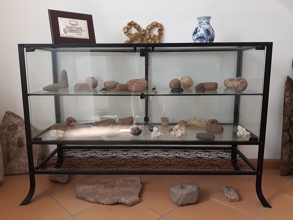
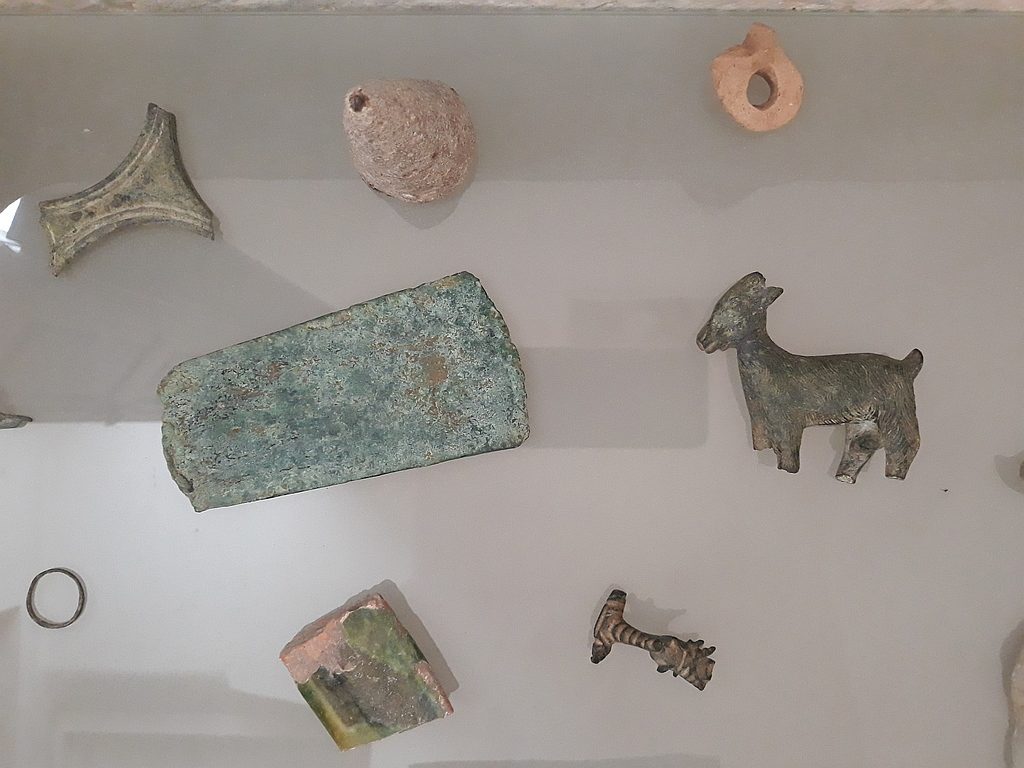
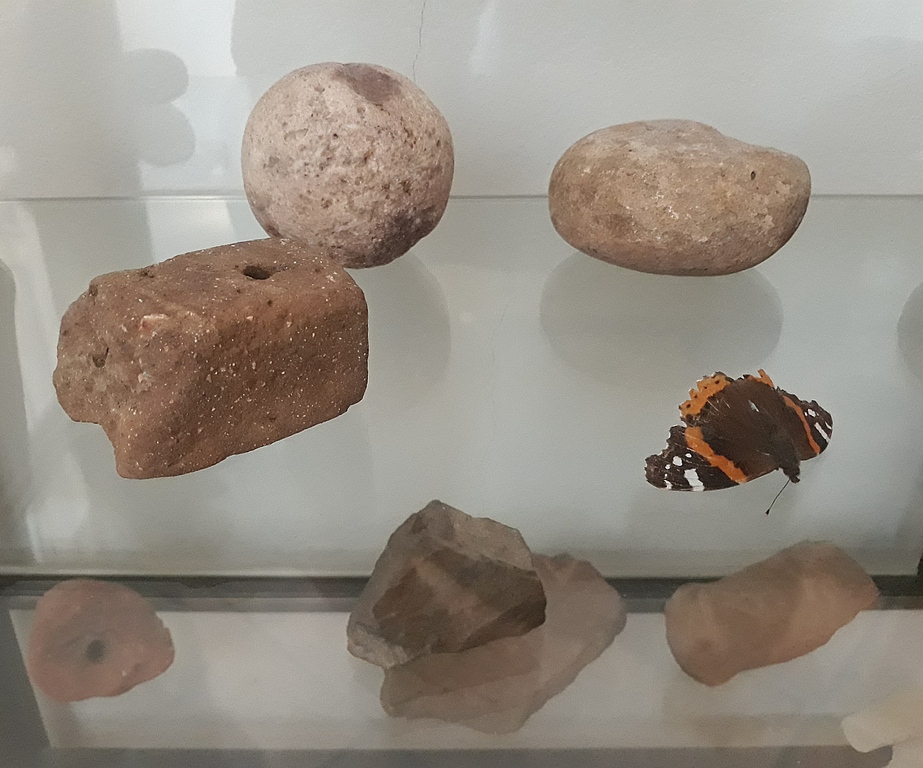
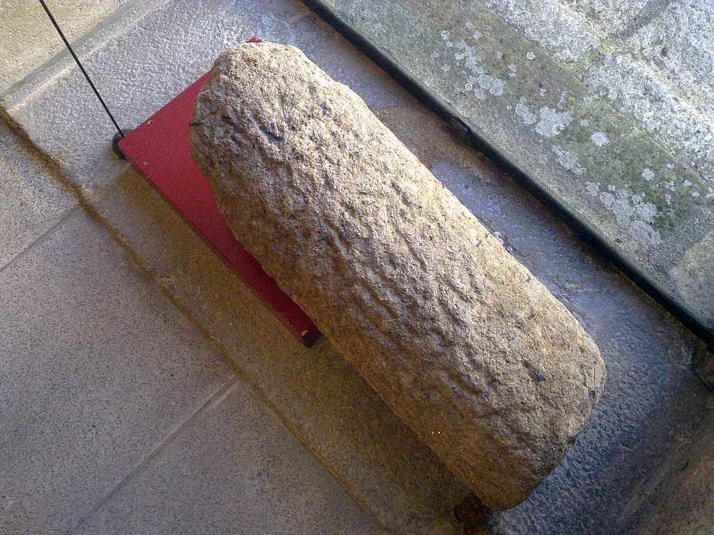
This interesting collection can be seen on the hotel lobby, namely coins, tegula, loom weights, glandes, rings, a small bronze figurine of a goat, and three inscriptions. Unfortunately, we don’t know the exact provenance of these findings as Mr Hugo couldn’t finalize the inventory of the collection due to his sudden death. Only his incredible collection of more than 200 Roman coins were subjected to a preliminary study in 2017 by Marco Paulo Valente but the work didn’t have any continuation.
Some of the archaeological materials on display at the hotel lobby
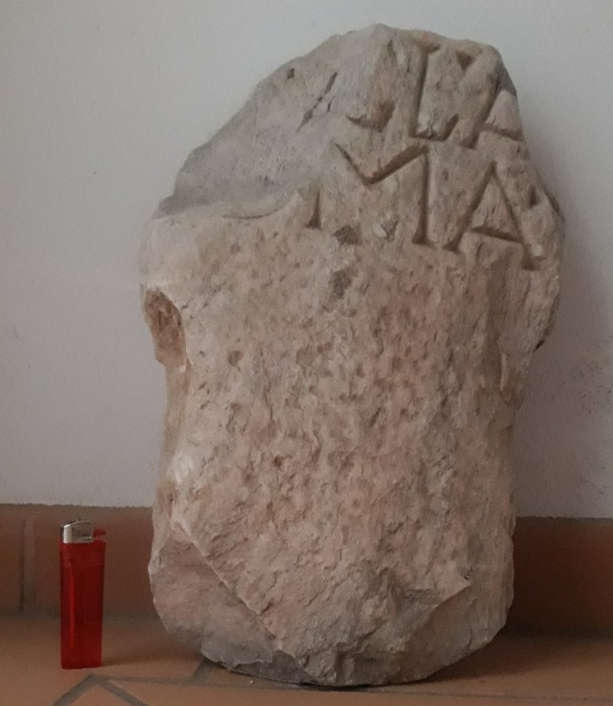
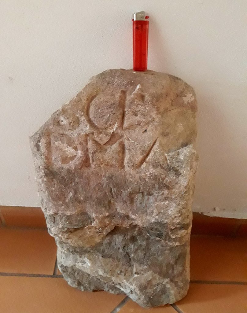
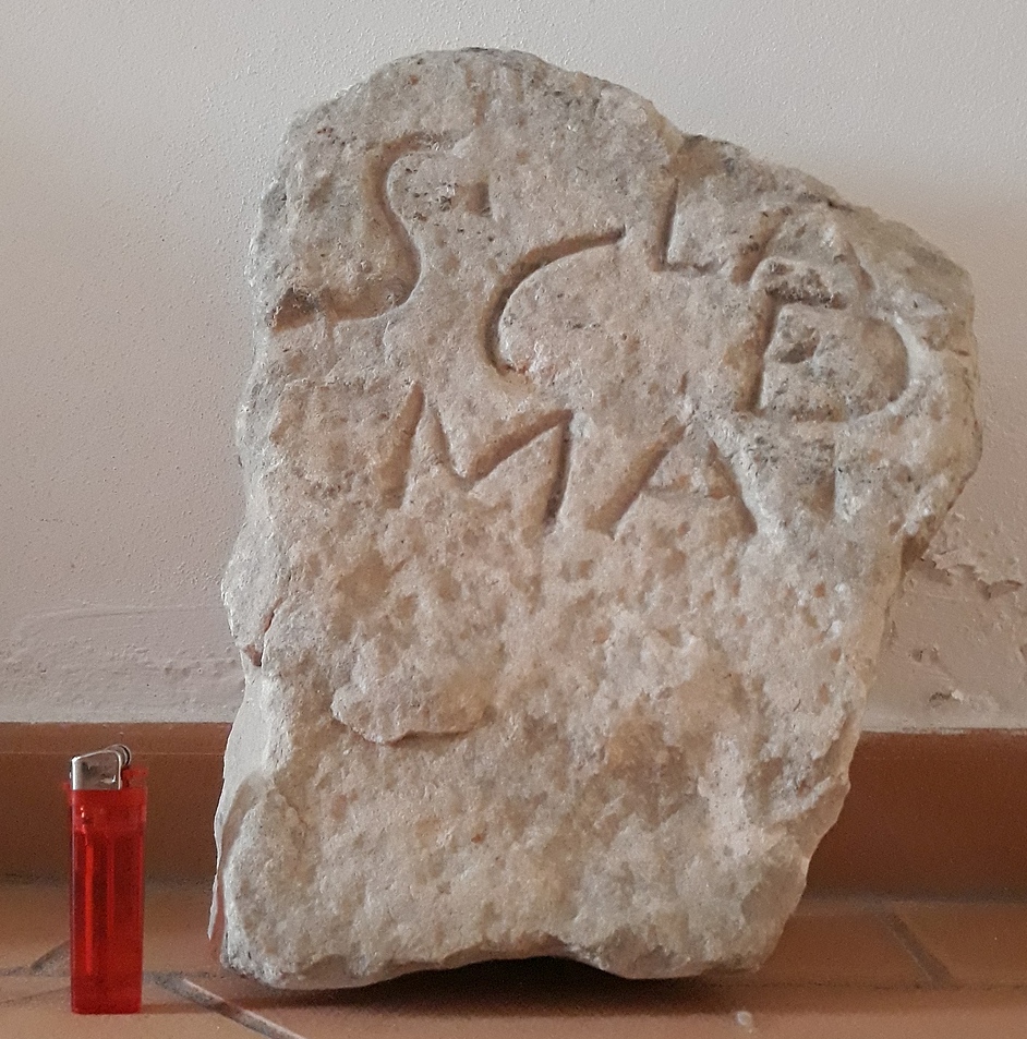
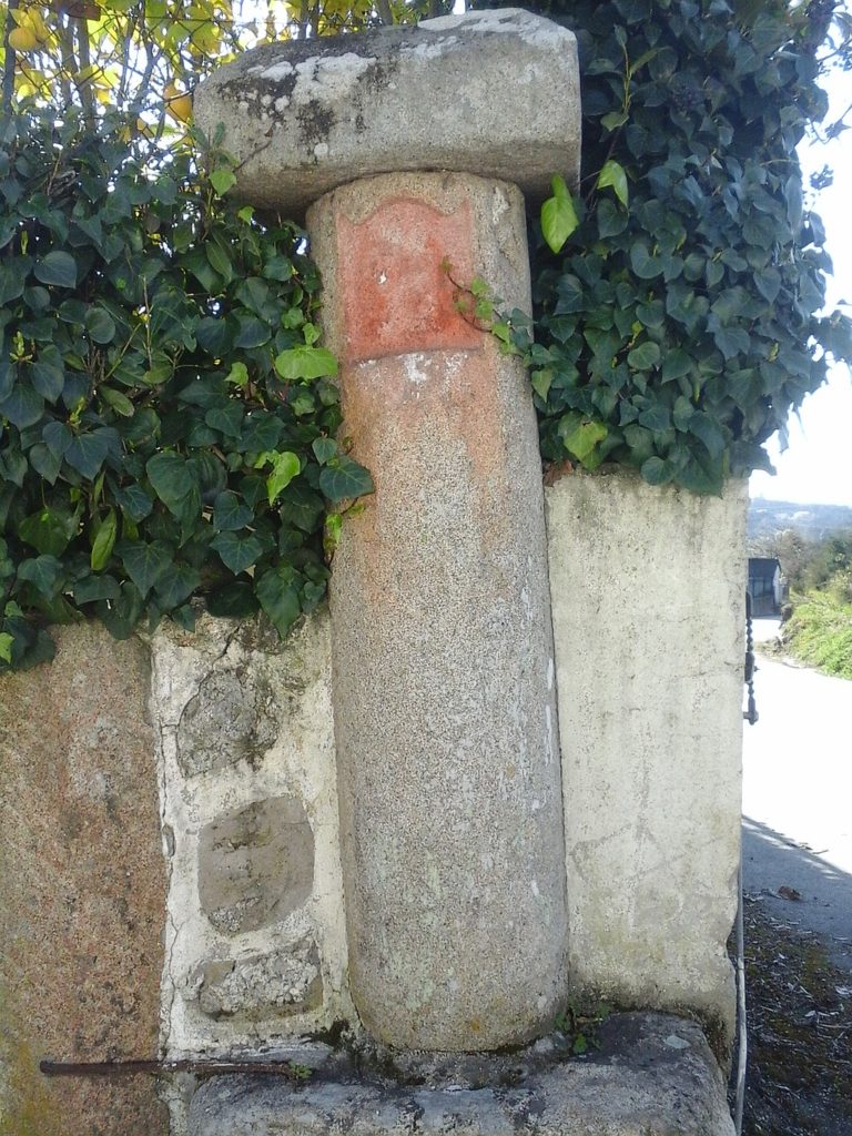
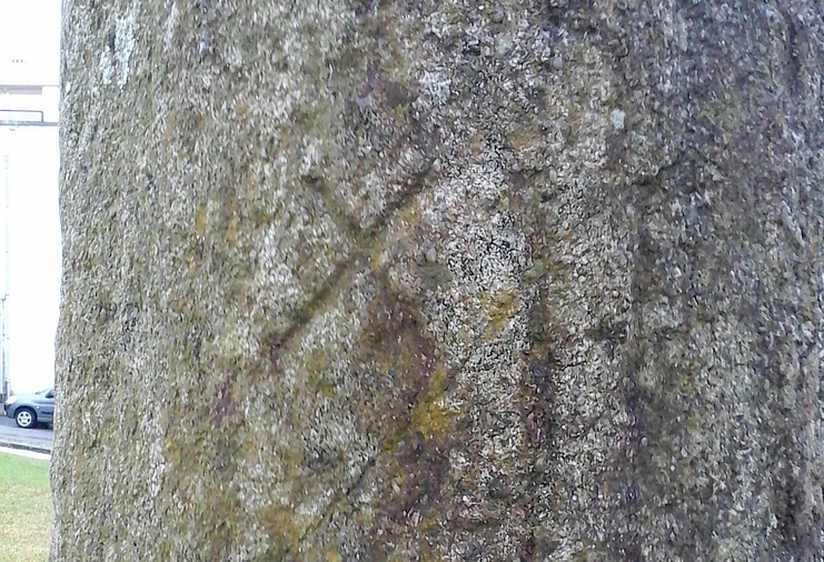
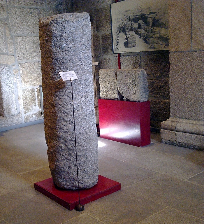
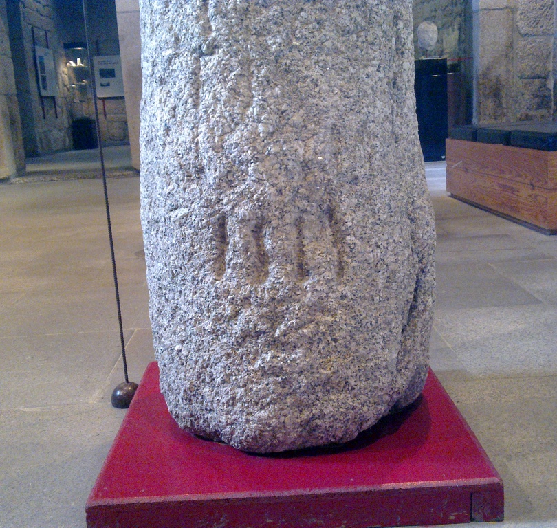
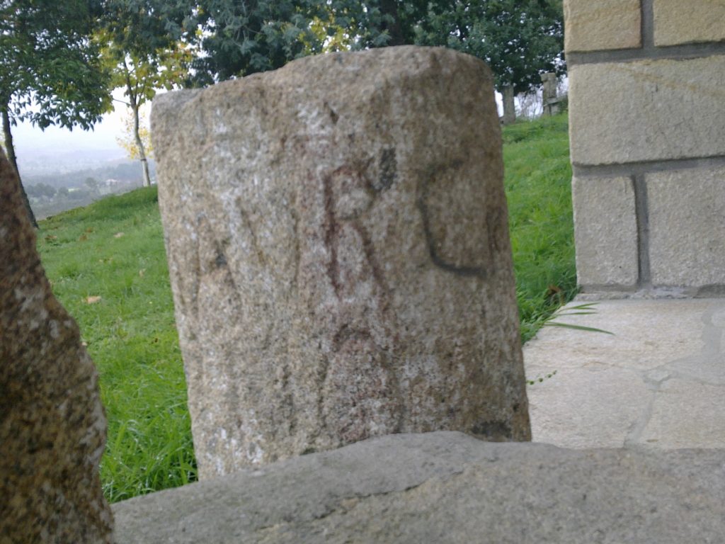
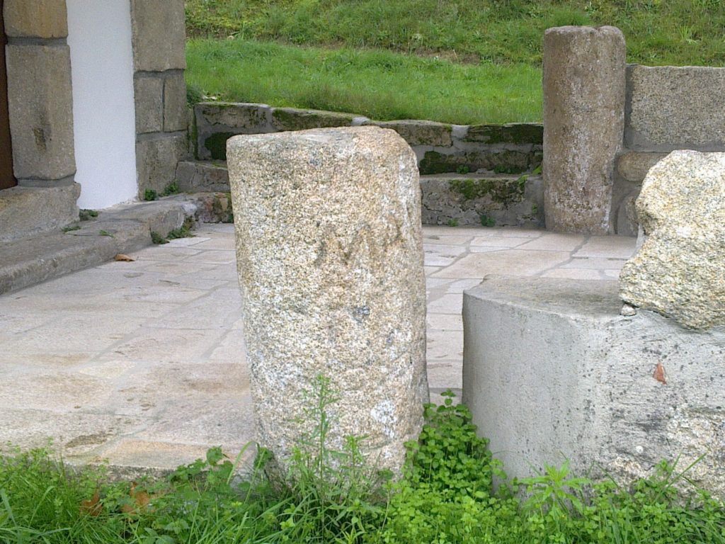
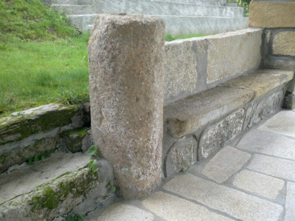
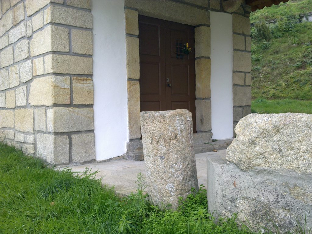
The collection includes also three stones apparently with the same inscription found close to the village :
SCLA / DMA.
We are tempted to associate these inscriptions to 5 ‘dolia‘ stamps connected to the high-medieval period found in the region containing the following inscription: «Eclesiae Sanctae Mariae Lacaltensis Agripi» (Canto, 1997; Wolfram, 2011). Thus the inscription could be read with some reserve as S(an)c(ta) La(caltense) D(ea) M(ariae) A(gripi). In this context, the stones could be landmarks delimiting the territory of the Lacaltenses. Curiously, in the Museum of Moura there’s a Roman inscription (a statue pedestal) dedicated to Iulia Agripa by the civitas Aruccitana (CIL II 963). Could they be related?
Bibliography:
Canto, Alicia M. (1997)- “Epigrafía Romana de la Beturia Céltica”. Universidad Autónoma de Madrid.
Valente, Marco P. (2017) – “Circulação monetária na Freguesia de Pias (Concelho de Serpa, Distrito de Beja). Quando Roma era Império”. in «Scientia Antiquitatis», vol. 1, nr. 2.
Wolfram, Mélanie (2011) – “Uma síntese sobre a cristianização do mundo rural no sul da Lusitânia”. FLUL – PhD Thesis.
Coordinates: 38.022248, -7.480839