(Originally published on June 20, 2014)
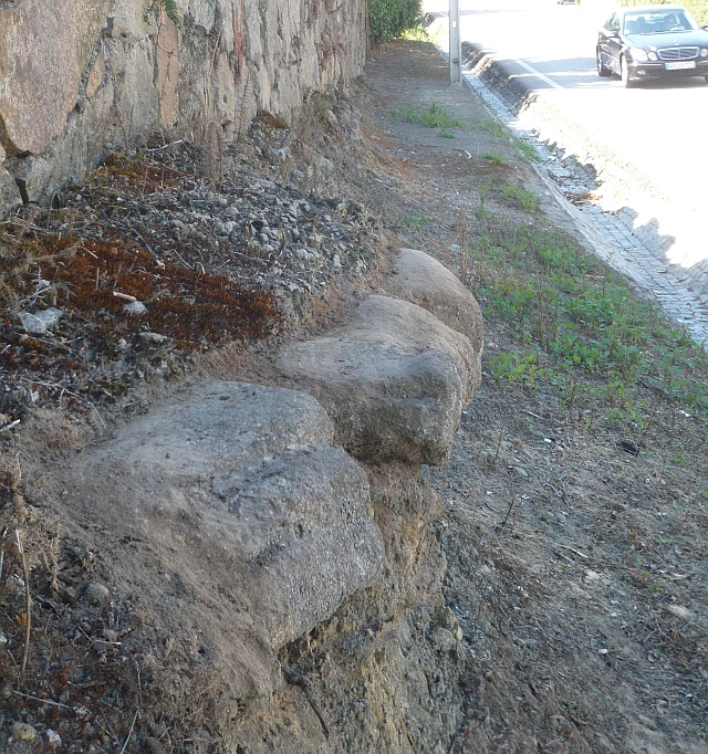
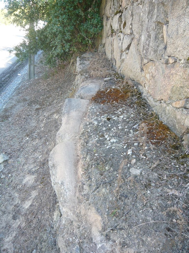
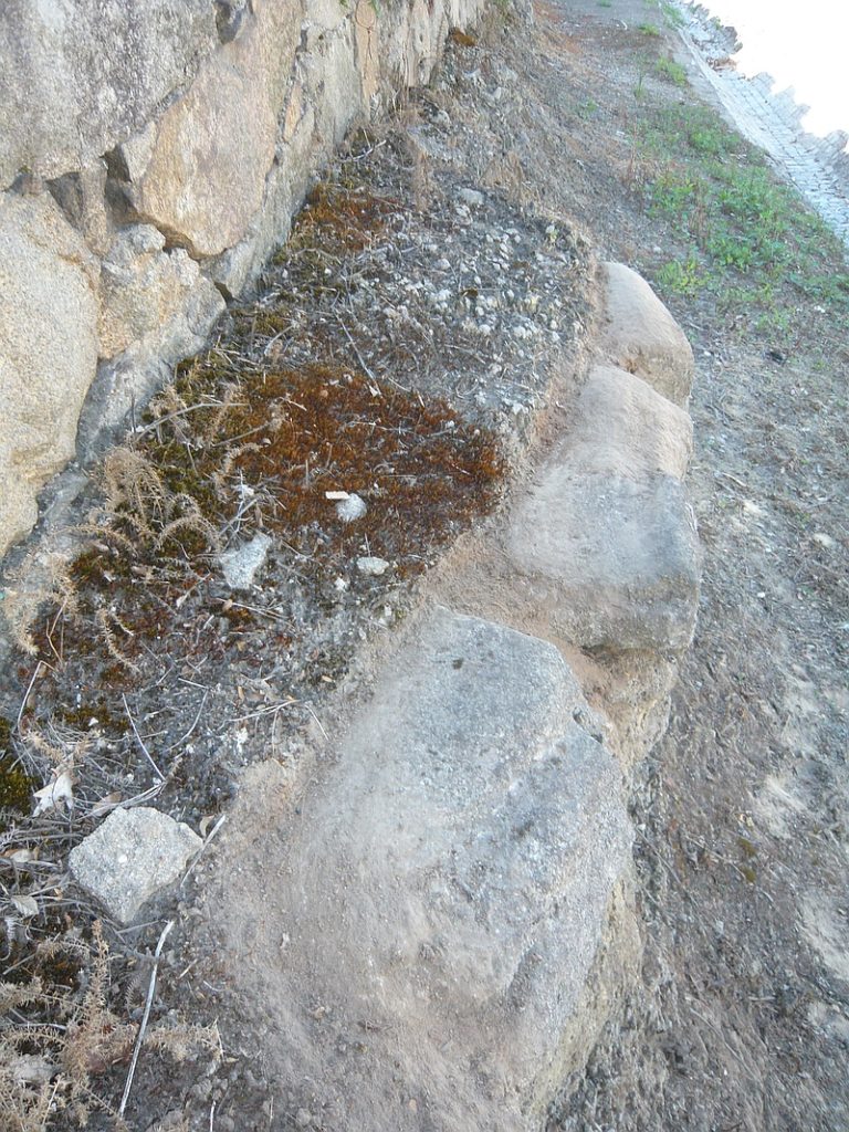
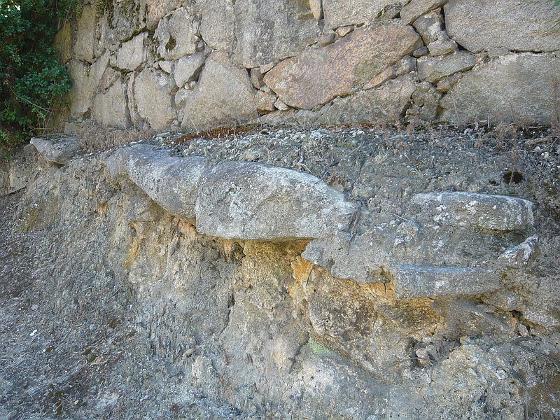
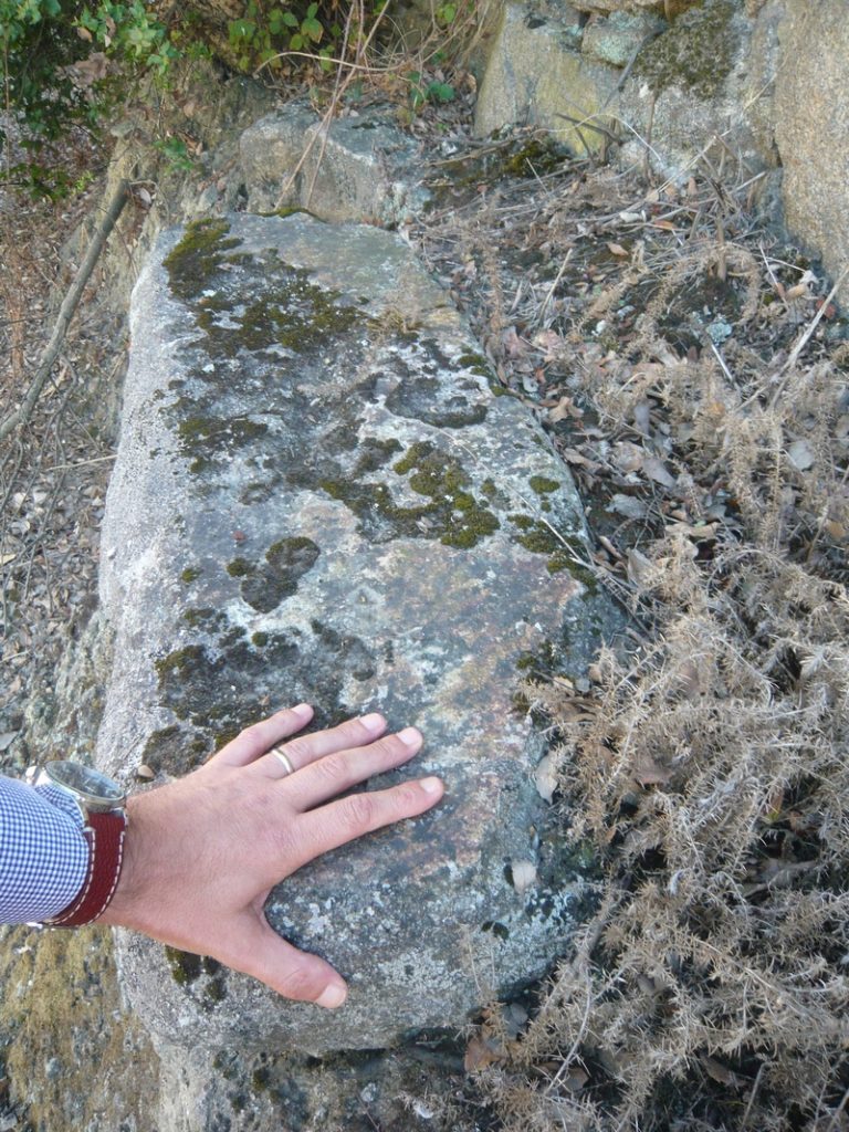
The Roman road XVI between Bracara Augusta and Olisipo crossed the current municipality of Vila Nova de Gaia passing by Santo Ovídio and Canelas; the only testimony we have of this road is a small section of the pavement discovered in the 1930s on «Senhora do Monte» Street during the works for enlargement of the national road EN1; there’s a picture published by Armando de Mattos in 1937 in his little book “As Estradas Romanas no Concelho de Gaia”. Since then, the road has been mutilated by repeated repairs to the national road and the construction of an urbanization that has destroyed a few hundred meters of the old road. What is left now are a few surviving slabs of the original pavement still in place on the side of the modern road. The deep furrows as a result of the wear and tear caused by cartwheels over the centuries, a sign of its antiquity. Coordinates: 41.088836, -8.591531
View location in Street View
